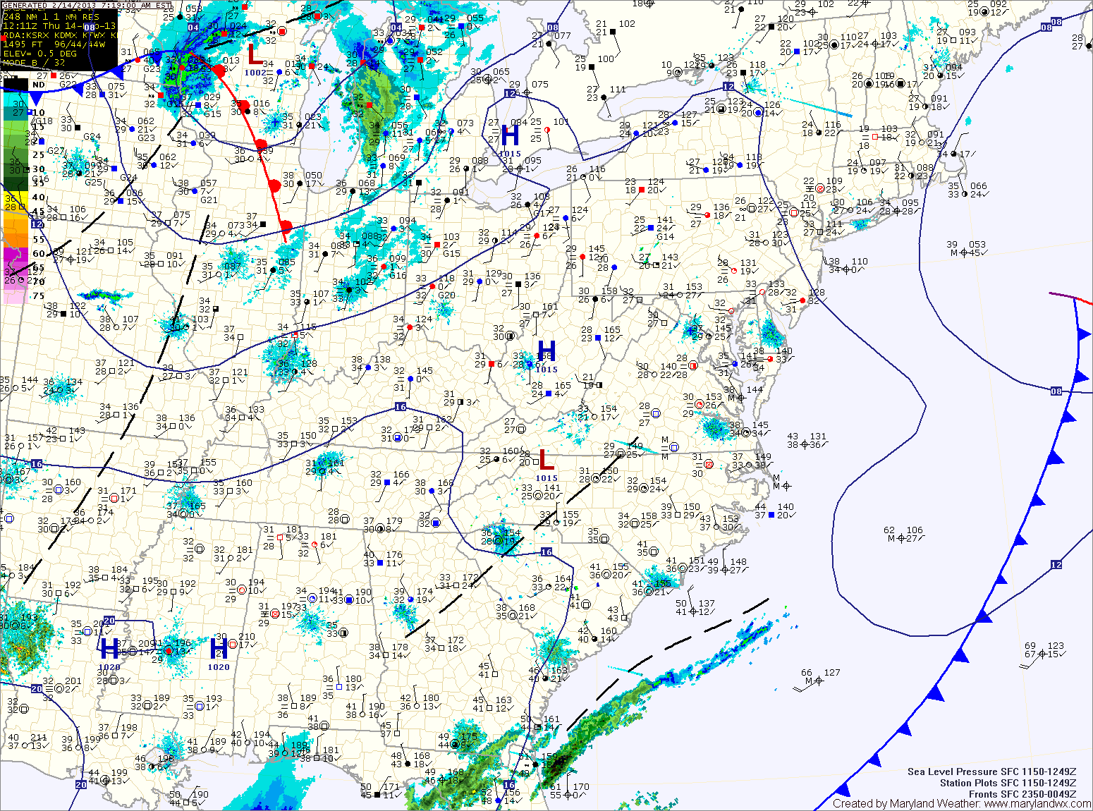
Mostly sunny today; Snow showers tonight and tomorrow night

Current Surface Map
Current Surface Map
Today will be mostly sunny with highs in the mid 40s.

A cold front will move through tonight bringing an area of light snow showers with it. A dusting is possible in most areas as it crosses during the overnight.

Tomorrow will end up mostly sunny with highs in the mid 30s.

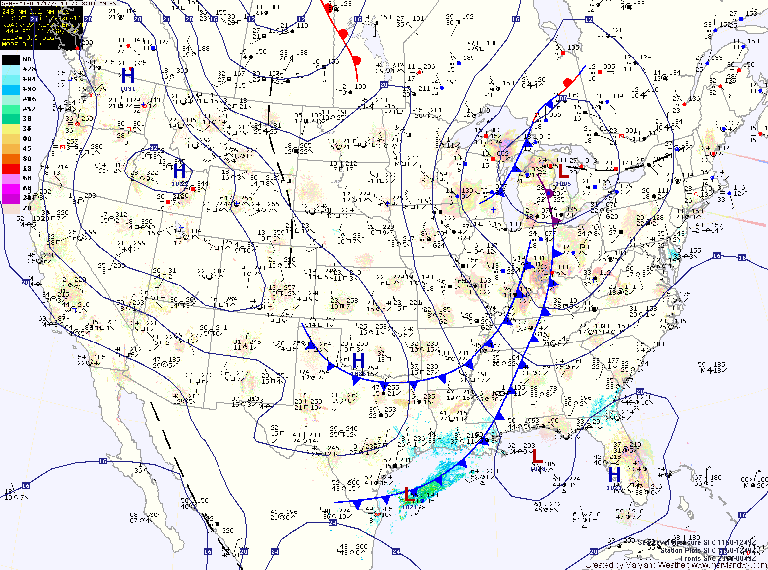
Another weak area of precip will move though tomorrow night, bringing another chance of light snow or flurries. After that moves through, expect another mostly sunny day on Sunday with highs in the upper 30s to around 40.

Becoming Mostly Sunny Today

Current Surface Map
Current Surface Map
Clouds will continue to clear out today leading to mostly sunny skies this afternoon with highs in the low to mid 40s.

Clouds will increase again tomorrow as another weak system approaches from the north west. This system will bring another round of light snow showers tomorrow night into Saturday morning. Highs tomorrow will be in the mid 40s, highs on Saturday will be in the upper 30s.

Another weak system may bring another round of light snow showers Saturday night.

A quieter stretch will begin on Sunday with mostly sunny skies expected through Tuesday with highs in the mid 40s each day.

Partly Sunny and Warm Today & Tomorrow; Showers Sunday

Current Surface Map
Current Surface Map
With high pressure off the southeast coast, warmer air continues to flow into the region. Today will be partly sunny with highs around 60.

Tomorrow will be similar to today but a few degrees warmer with highs in the low to mid 60s.

Clouds and rain showers will move into the area Saturday night and Sunday as a cold front approaches from the west.

The front will strengthen the southerly flow ahead of it, pushing highs on Sunday up to around 70.

Cloudy Today and Tomorrow; Cold Front Crosses Tomorrow Night

Current Surface Map
Current Surface Map
High pressure will shift off the coast today. Southerly flow will develop as it does which will increase cloud cover today and tomorrow. Highs today will be in the low 50s.

Highs tomorrow will be in the low 60s under cloudy skies.

A cold front will push into the region tomorrow night, spreading showers into the area. Shower chances will increase on Saturday as the front pushes through.

The front should clear the area during the afternoon or evening hours. Highs will be in the low 50s.

Becoming Sunny Today; Dry Through End of the Week

Current Surface Map
Current Surface Map
As high pressure continues to build in, expect clearing skies and cooler temperatures. It will also turn breezy this afternoon. Highs today will be in the upper 40s to around 50.

The high will move overhead tomorrow, diminishing winds. It will be mostly sunny with highs in the upper 40s.

As the high moves off the coast on Thursday, southerly flow will bring in slightly warmer air and a few more clouds. Highs on Thursday will be in the low to mid 50s under partly sunny skies.

Friday will be a few degrees warmer, with highs in the mid to upper 50s under partly sunny skies.

Becoming Mostly Sunny and Warm Today; Colder Tomorrow

Current Surface Map
Current Surface Map
A strong cold front is pushing off the coast this morning. Westerly winds will increase today behind the front. The winds will warm the air, leading to highs in the upper 60s under mostly sunny skies.

As high pressure builds in, the winds will turn more northwesterly and colder air will begin to filter into the region. Winds will continue to gust to around 25 mph into tomorrow. Highs tomorrow will top out in the upper 40s under sunny skies.

Wednesday will be similar to tomorrow but with light winds. Highs in the upper 40s under mostly sunny skies.

Increasing Clouds Today; Showers Tonight and Tomorrow

Current Surface Map
Current Surface Map
A cold front will push through today with limited moisture. Expect clouds to increase into the afternoon, with highs in the upper 60s.

An area of low pressure will form along the front and move towards the area tonight and tomorrow morning. Expect light rain to develop tonight, lasting through the morning hours tomorrow.

Behind the system, breezy northwest winds will bring in colder and drier air. Highs will be in the upper 50s.

Several upper level disturbances will pass through Thursday and Friday, bringing more clouds and reinforcing the colder air. Highs on Thursday will be in the mid 50s while highs on Friday will be held in the low 50s. Friday night could see temperatures drop to near freezing by Saturday morning.

Sunny Today; Colder air on the way

Current Surface Map
Current Surface Map
After starting out in the mid 30s this morning, temperatures will climb to the upper 60s this afternoon under sunny skies.

Clouds will increase tomorrow as another cold front approaches from the west. Highs will be in the low to mid 60s.

The front will cross tomorrow night, bringing scattered showers while an area of low pressure develops along it and brings more showers Wednesday morning and into the afternoon.

Highs on Wednesday will be in the mid 50s.

Partly Sunny, Windy Today; Unsettled Weekend on Tap

Current Surface Map
Current Surface Map
Today will be partly sunny, cool and windy. Wind gusts to around 35mph are possible this afternoon. Highs will be in the low to mid 40s.

Tomorrow will start out mostly sunny with clouds increasing towards evening. It will be about 10 degres warmer today with highs in the mid 50s.

A fast moving area of low pressure and associated cold front will spread rain into the area late Friday night into Saturday morning. The rain will continue Saturday morning before gradually ending during the afternoon. Highs on Saturday will be in the low to mid 50s.

Mostly Sunny Today; Another Chance of Snow Tomorrow Night

Current Surface Map
Current Surface Map
Last night’s rain/snow has created very icy conditions this morning. The good news is that temperatures will rise above freezing over the next hour or so and will top out in the mid to upper 40s under mostly sunny skies.

Clouds will increase tomorrow as two cold fronts pass through. The models are showing signs that an area of low pressure will develop along the second front late Friday, bringing another round of rain to snow during the overnight. The possibility exists for another light accumulation by Saturday morning.