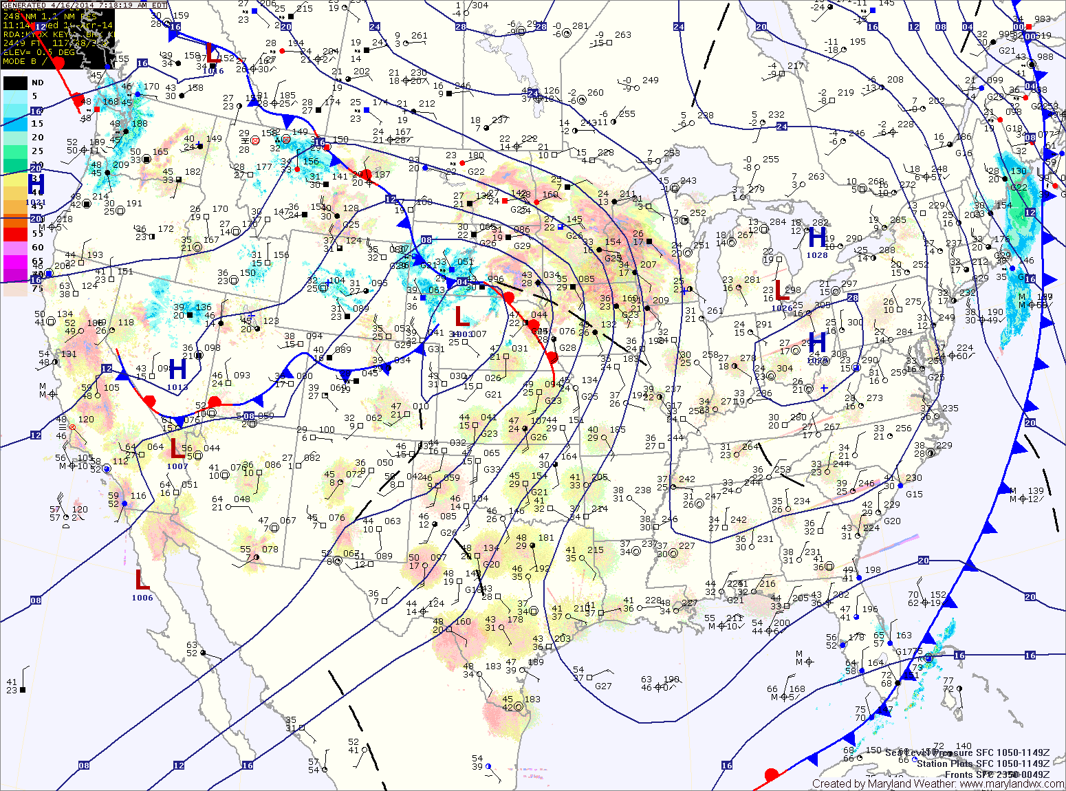
Showers and Storms Possible this Afternoon; Turning Colder to End the Week
A cold front will cross this evening ushering in colder air tomorrow and into the weekend. An area of low pressure will slide by to our south Saturday, bringing a…

Another cold night on tap tonight, with lows dropping into the low 30s.
Winds will shift around to the east tomorrow which will cause clouds to increase. Highs will be in the mid 50s.
Friday will be generally cloudy, with highs in the mid to upper 50s.
The front will move closer tonight, spreading showers into the area after sunset.
Showers will continue tomorrow with locally heavy rainfall possible. Thunder and gusty winds cannot be ruled out, especially tomorrow afternoon. Highs will be in the upper 60s before temperatures begin to fall during the late afternoon.
The rain will continue tomorrow night and as colder air moves in, it may end as a brief period of snow, especially north and west of the cities. No accumulation is expected. Lows will reach the low 30s.