Increasing clouds today, showers tonight; Nice weekend on tap

Current Surface Map
Current Surface Map
A cold front and area of low pressure will move towards the area today. As a result it will be breezy and warm with increasing clouds. Highs will be in the low 70s.

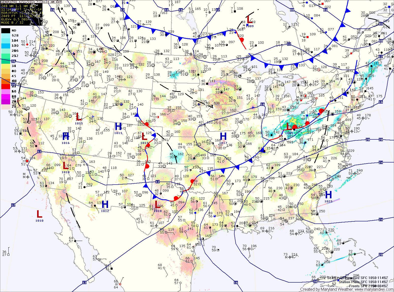
Rain will overspread the area this evening and last through the night. The front will clear the area tomorrow morning as high pressure builds back in.

Tomorrow will be mostly sunny with highs around 70.

Sunday will feature a few more clouds than Saturday but will also be warmer. Highs will push into the mid to upper 70s.

Scattered showers likely today; Dry end to the week

Current Surface Map
Current Surface Map
A WINTER WEATHER ADVISORY is in effect this morning for: Allegany, Frederick and Washington counties.


Light showers are developing over the Blue Ridge. A Winter Weather Advisory for light freezing rain has been posted for that area as temperatures are near freezing. The showers will continue to develop and move eastward this morning and afternoon. Expect highs to reach the low to mid 40s.

The showers may continue into this evening and tonight before a cold front pushes through. The front will end the shower activity and clear the skies.

Tomorrow will be mostly sunny, breezy but warmer with highs pushing into the mid 50s.

Showers and possibly a thunderstorm today; Much colder tomorrow

Current Surface Map
Current Surface Map
A Wind Advisory is in effect this evening into tomorrow morning for the entire state except the lower eastern shore


An area of low pressure and a strong cold front will move into and through the area today and tonight. Ahead of the system, strong southerly flow will push temperatures into the upper 60s to around 70 this afternoon.

Expect showers to develop later this morning into this afternoon. As the front moves closer this afternoon and evening, thunderstorms will be possible. There is a slight risk that these storms may be severe with strong, damaging winds as the primary threat. Stay alert for possible watches and warnings this afternoon and evening.

The front will clear the area late tonight, bringing in much colder air and strong gusty winds. Winds could gust to near 50mph tonight and tomorrow morning.

Partly sunny and warm today; Showers and possibly a thunderstorm tomorrow

Current Surface Map
Current Surface Map
High pressure will hang on to control our weather one more day, providing partly sunny skies and temperatures in the upper 60s to around 70 today.

The high will be displaced tomorrow as an area of low pressure and a cold front move toward the area. The system will spread showers into the area tomorrow morning. Additionally, a line of thunderstorms may move through the area tomorrow afternoon. These showers and storms may produce locally gusty winds. Highs will likely reach the upper 60s before the front moves through tomorrow night.

As the front moves through, much colder air will flow into the region as northwest winds increase. Winds will likely gust to near 40mph. Any left over rain showers may turn to snow before ending around midnight.

Partly sunny today, warmer tomorrow; Rain Wednesday

Current Surface Map
Current Surface Map
High pressure will keep the eastern part of the country dry today. Expect partly sunny skies with highs in the upper 50s.

Tomorrow will be even warmer, with highs reaching the mid 60s under partly sunny skies.

An area of low pressure will move in from the west on Wednesday. The system will basically move directly over the area through the day, bringing widespread rainfall to the area.

Expect showers through the day and into the night. Highs will be in the mid 50s.

The storm will depart Wednesday night and much colder air will move in. There is a chance that the rain ends as a brief period of snow late Wednesday night or early Thursday morning.

Light snow this morning; Quiet end to the week

Current Surface Map
Current Surface Map
A Winter Weather Advisory is in effect this morning for central Maryland and Garrett County.


Light snow has overspread the area and will last through the morning. Generally an inch or two of accumulation is expected. Localized spots of up to 3 inches are possible before it ends this afternoon.

Sunshine will break through the clouds this afternoon and it will turn windy. Highs will top out in the low 30s.

Much colder air will move in tonight on gusty northwest winds. Overnight lows will fall into the teens in most places.

Light snow today and again tonight into tomorrow

Current Surface Map
Current Surface Map
An upper level disturbance is bringing areas of light snow and flurries to the area this morning.

The snow will continue into the afternoon before tapering off. A dusting to perhaps a half inch of accumulation is possible this morning before the sun returns and temperatures warm into the mid to upper 30s.

Another disturbance will move through tonight into tomorrow, bringing another round of light snow lasting through tomorrow morning. Another half inch is possible from this system, most if not all of which will melt by tomorrow afternoon. It will also be windy and afternoon highs will be in the low to mid 30s.

Much colder air moves in tomorrow night, dropping lows into the upper teens to around 20.

Mostly sunny today; Light snow possible tomorrow night into Wednesday

Current Surface Map
Current Surface Map
As high pressure builds in, today will be mostly sunny with highs in the mid 40s.

A weak disturbance will move through the area tomorrow, bringing some clouds and perhaps an afternoon sprinkle or flurry as it does. Highs will be in the mid 30s.

Tomorrow night, another disturbance will move into the area and develop into a larger system as it moves off the coast. The result would be a better chance of snow showers tomorrow night, lingering into Wednesday. Snowfall will be light, with nothing more than a trace of snow expected. Highs on Wednesday will be in the mid 30s.

Behind those systems, cold Canadian high pressure will build in for the end of the week. Highs on Thursday will be in the mid 30s under mostly sunny skies.

Showers and possibly a thunderstorm this morning; Cooler and dry this weekend

Current Surface Map
Current Surface Map
A cold front is approaching from the west while a warm front is to the south, trying to move northward. Temperatures across lower southern Maryland and the lower eastern shore have already pushed into the low 60s while areas to the north and west remain in the upper 30s to low 40s.

The warm front should make some more progress northward before the cold front arrives. Expect temperatures to reach the low to mid 50s in central Maryland, mid to upper 40s north and west.

Showers will arrive in the area over the next hour or so. A thunderstorm is also possible this morning as the front moves closer. Expect isolated heavy rainfall and gusty winds in any storms that develop.

The front should cross the entire state by early afternoon, gradually bringing an end to the rain threat.

Increasing clouds today; Cold front passes tomorrow

Current Surface Map
Current Surface Map
High pressure will continue to slide off the coast today as a cold front approaches from the west. Expect increasing clouds through the day, with highs in the mid 50s.

Showers will develop tonight as the front moves closer. The showers will continue tomorrow and a thunderstorm is also possible as the front pushes into the area. Some of the showers and storms could produce locally strong, gusty winds. Highs tomorrow will be in the upper 50s, possibly low 60s depending on the exact timing of the frontal passage. The front should clear the area during the late morning or early afternoon, gradually ending the rain from west to east.

Behind the front, west to southwest flow will keep temperatures up on Saturday. Expect highs to reach the mid to upper 50s under mostly sunny skies.