Remnants of Ida to Bring Flooding Rains to Our Area
Hurricane Ida made landfall in Louisiana yesterday as a Category 4 storm and has since moved inland and weakened to a tropical storm. The system will continue to weaken as…

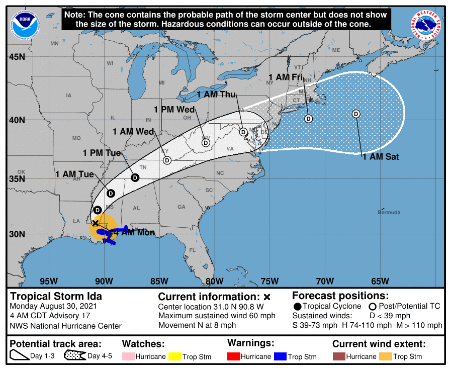
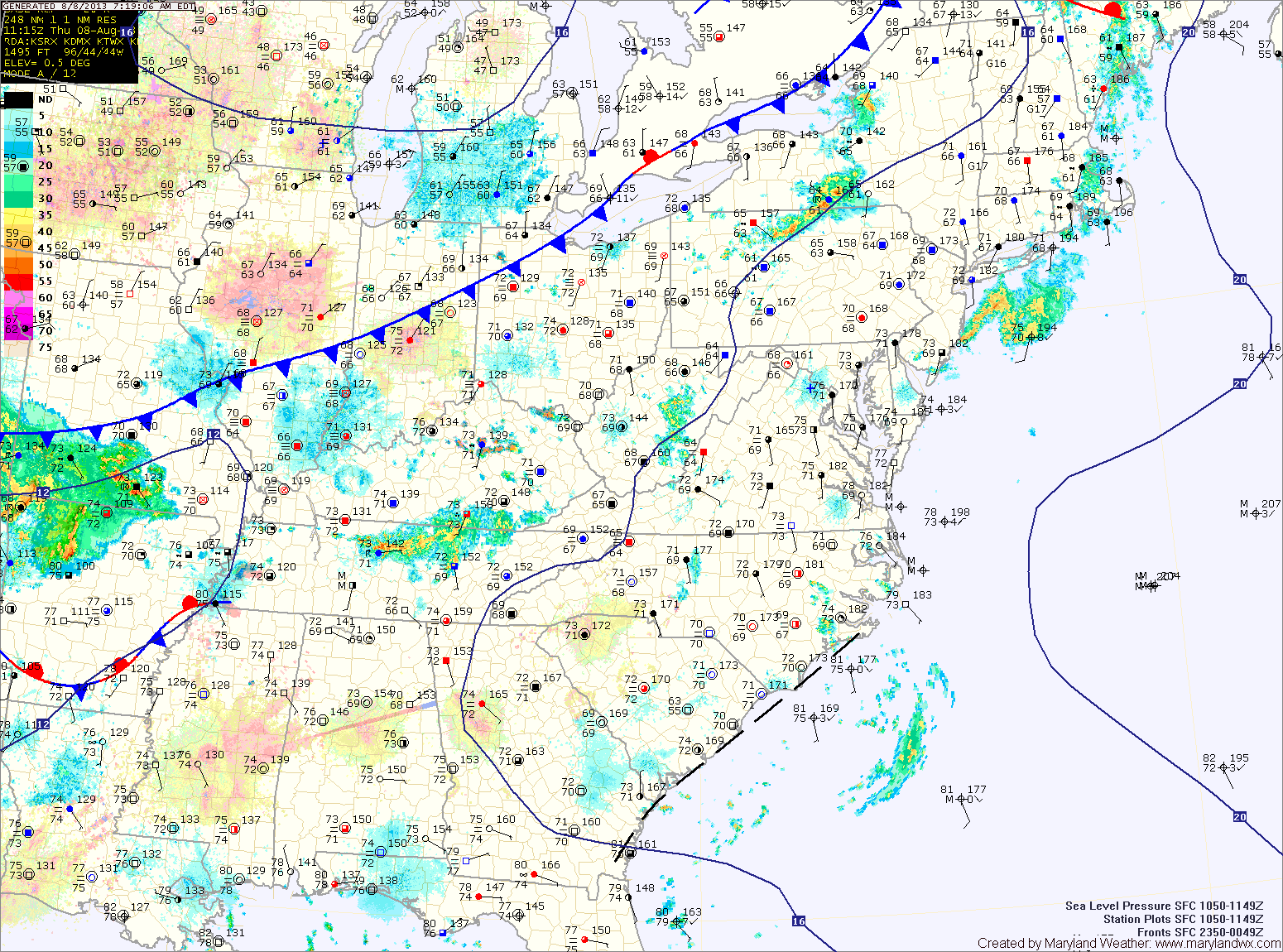
A FLASH FLOOD WATCH is in effect for most of the state except far Western Maryland and the lower Eastern Shore.
The front will push through tomorrow morning, ending the rainfall and ushering in cooler and drier air for the holiday weekend. Expect mostly sunny skies by tomorrow afternoon, with highs in the low 80s.
The front will also steer Hurricane Arthur well east of the state. By Friday afternoon, the storm should be well off the Ocean City coast, accelerating away from the area.
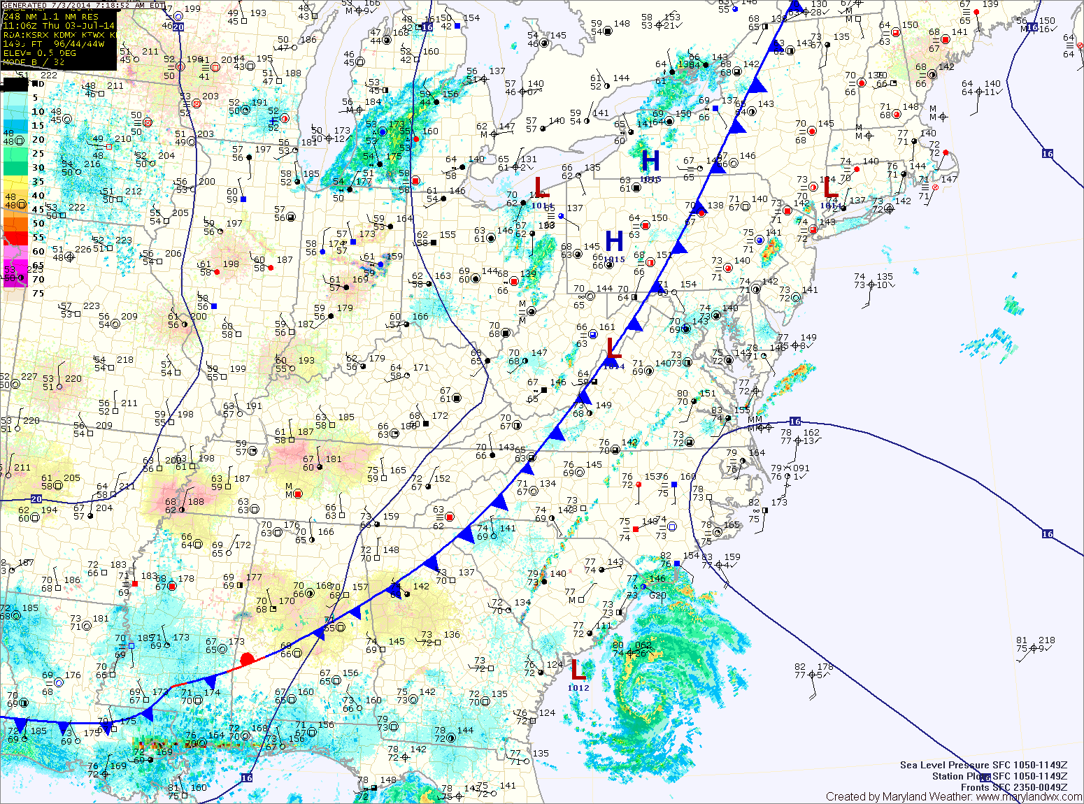
The front will push through later tonight, bringing an end to the rainfall.
Behind the front, expect decreasing clouds and slightly drier air tomorrow. Expect highs in the mid to upper 80s.
Temperatures will remain in the mid to upper 80s Friday and through the weekend. Isolated thunderstorms are possible Saturday and Sunday afternoon. Fairly typical weather for June in the mid-atlantic.
The main threat with these storms will be very heavy rainfall, damaging winds and large hail. Highs will be in the upper 80s.
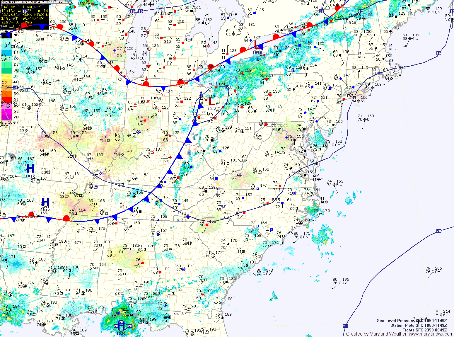
The front will press south of the state tonight, ending the storm threat.
The front should remain south of the state tomorrow allowing northwest flow to bring in cooler and drier air. Expect partly sunny skies and highs in the low to mid 80s.
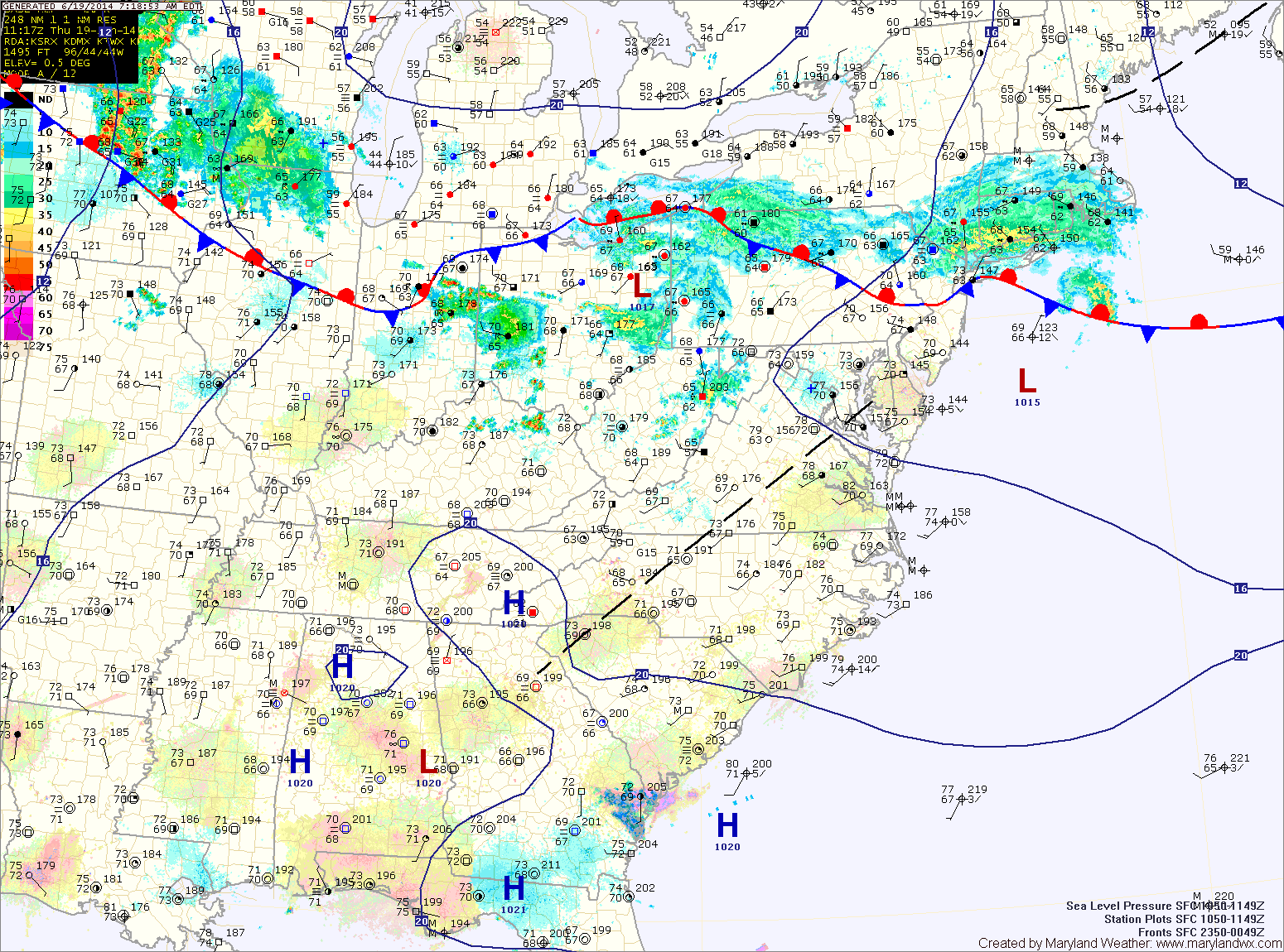
Isolated storms will be possible overnight while there is a better chance of storms tomorrow as the front moves closer. Highs will be in the mid 80s.
The front will move into the area Saturday and likely stall near or south of the state. Isolated to scattered afternoon and evening thunderstorms will be possible on Saturday. Highs will be in the upper 80s to near 90.