
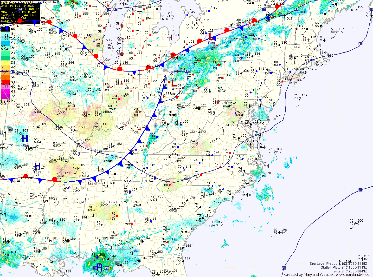
The front will push through later tonight, bringing an end to the rainfall.
Behind the front, expect decreasing clouds and slightly drier air tomorrow. Expect highs in the mid to upper 80s.
Temperatures will remain in the mid to upper 80s Friday and through the weekend. Isolated thunderstorms are possible Saturday and Sunday afternoon. Fairly typical weather for June in the mid-atlantic.
More of the same is expected as we move into next week. Highs in the mid to upper 80s with isolated storms possible Monday and Tuesday afternoon.
Yesterday’s Weather Station Stats:
High Temp: 84.9°
Low Temp: 64.0°
Rain: 0.00″