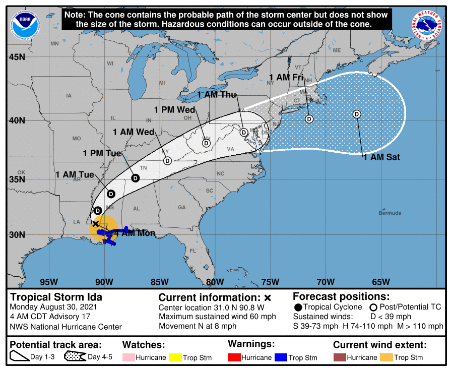
Hurricane Ida made landfall in Louisiana yesterday as a Category 4 storm and has since moved inland and weakened to a tropical storm. The system will continue to weaken as it moves northeastward this week. Current forecasts and model trends bring the system through our area Wednesday into Thursday. By the time it gets here, it will likely to have weakened to a depression or remnant low, but gusty winds and very heavy rainfall are likely.
Current thinking is that rainfall will overspread the area late Tuesday night into early Wednesday morning, with the heaviest rainfall occurring Wednesday afternoon into Wednesday night, before clearing out on Thursday morning.
On the current forecast track, the heaviest rain will occur across northern parts of the state, where 3-5+ inches of rain are expected. Further south and east, 2-4 inches are likely, tapering down to about an inch across southern Maryland and the lower Eastern Shore.
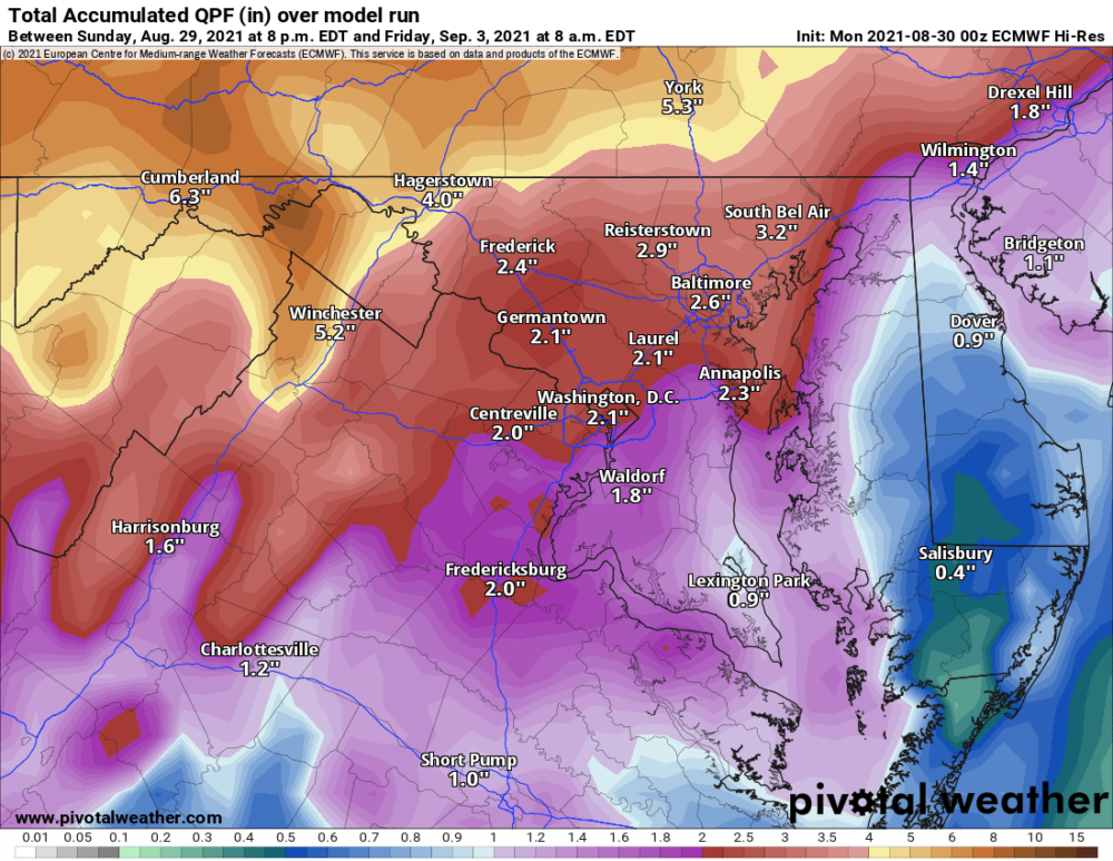
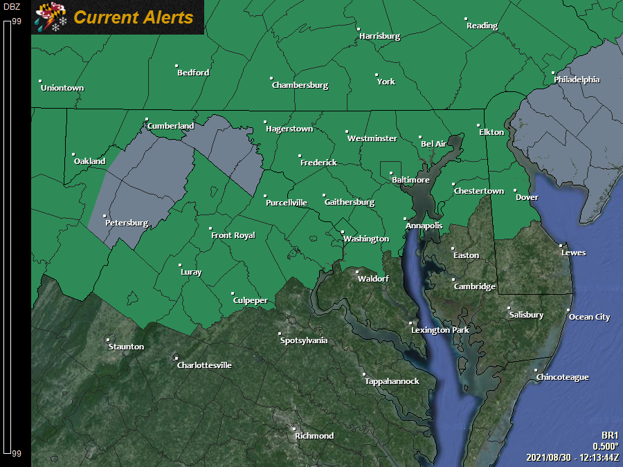
These numbers could fluctuate and shift depending on the eventual track of the system, but generally, heavy rainfall and flooding appear likely across most of the state. As a result, a Flash Flood Watch has been issued for most of the state, outside of southern Maryland and the lower Eastern Shore.
As always, stay alert for the latest information, including additional watches and possible warnings as we get closer to this event. Take some time to ensure gutters and rain spouts are clear and in good working order and secure any loose outdoor items that may get blown about by gusty winds. And NEVER venture into flood waters. Turn around, don’t drown!