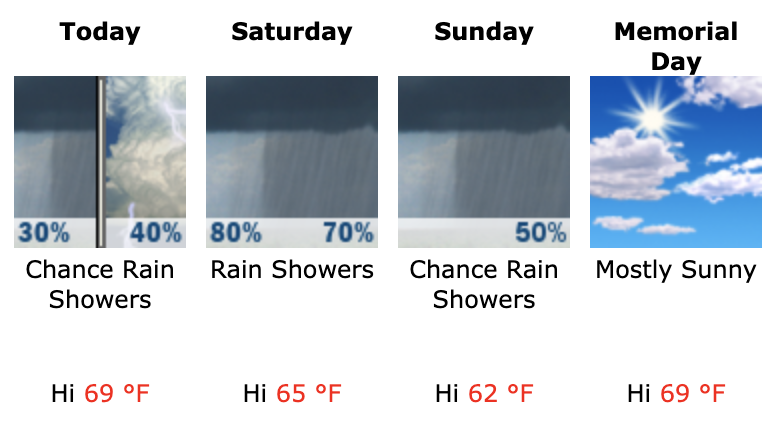
A stalled frontal boundary that is draped across the state this morning will be the focus of rain activity later today into tomorrow as an area of low pressure moves along it.
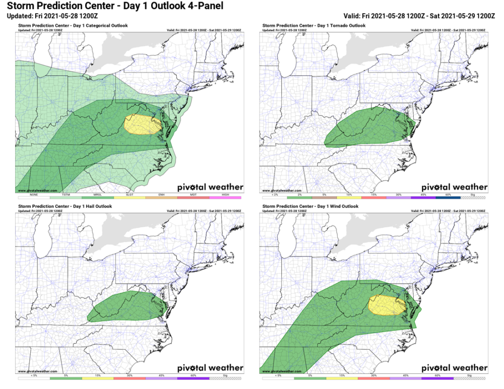
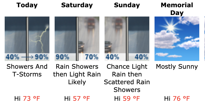
Showers will develop this afternoon, and thunderstorms are possible later this afternoon and evening. Fortunately, the severe weather threat today has shifted south a bit, so while storms are possible, the severe threat is less likely. Nonetheless, some severe weather is possible, especially across southern Maryland.
Shower coverage will increase through this afternoon and into the overnight. Periods of heavier rainfall are likely tonight. An inch or two of rain is possible before showers become more scattered tomorrow. Another round of heavier rainfall is likely tomorrow night, before becoming lighter and more scattered on Sunday.
Due to a northeasterly breeze, temperatures will remain cool, with highs tomorrow and Sunday topping out in the upper 50s to low 60s.
Fortunately, for any Memorial Day plans, it looks like skies will clear early Monday and temperatures will rebound back into the mid 70s under mostly sunny skies.
Here’s the weekend forecast for central Maryland:
Headed to the beach this weekend? Unfortunately, it won’t be the greatest Memorial Day Weekend weather there as well. Highs will be in the 60s, with rain likely, and a strong NE wind. Like the rest of the state, Monday will be the best day, with mostly sunny skies and highs near 70.