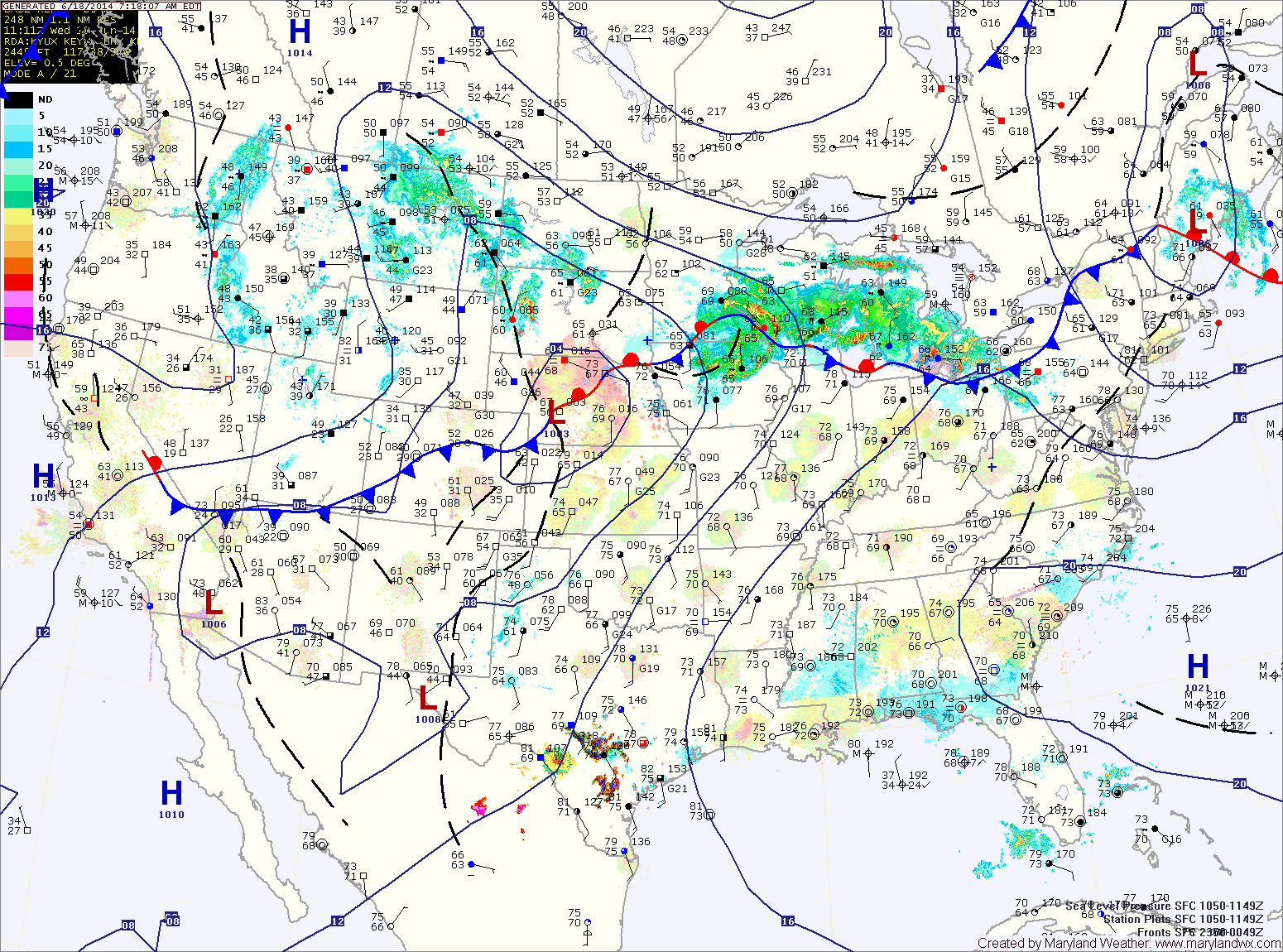
Hot and humid thru midweek; Showers and thunderstorms possible

Current Surface Map
Current Surface Map
Southerly flow will sharpen today bringing heat and humidity back into the region today. The heat will continue to build through midweek.

Expect a mix of clouds and sun today with an isolated shower or thunderstorm possible. Highs will be around 90.

Tomorrow will be a few degrees warmer, with isolated thunderstorms possible in the afternoon. Highs will be in the low 90s.

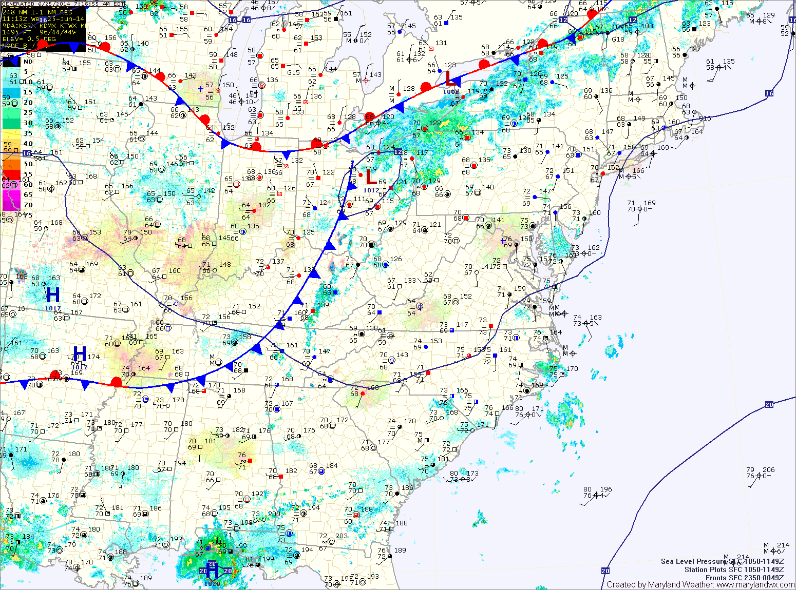
A cold front will approach on Wednesday, increasing storm chances. Additionally, tropical moisture will be pulled into the area ahead of a developing system off the southeast coast. This will make isolated to scattered storms likely with locally heavy rainfall. Highs will be in the mid 90s with heat indices approaching 105.

The front will remain in the area Thursday and thunderstorm chances will continue. Localized flooding will be possible again Thursday afternoon as storms produce locally heavy rainfall. Highs will be in the upper 80s.

Showers and thunderstorms likely this afternoon into tonight

Current Surface Map
Current Surface Map
A cold front is approaching from the west and will move into the area today. Expect showers and thunderstorms to develop during the afternoon and last well into the night. Any shower or storm will be capable of heavy rainfall resulting in localized flooding. It will be warm and humid with highs in the mid to upper 80s.

The front will push through later tonight, bringing an end to the rainfall.

Behind the front, expect decreasing clouds and slightly drier air tomorrow. Expect highs in the mid to upper 80s.

Temperatures will remain in the mid to upper 80s Friday and through the weekend. Isolated thunderstorms are possible Saturday and Sunday afternoon. Fairly typical weather for June in the mid-atlantic.

Slight chance of an evening thunderstorm today; Storms likely tomorrow

Current Surface Map
Current Surface Map
High pressure off of the New England coast will keep the region mostly dry today with just a slight chance of an afternoon or evening thunderstorm. Highs will be in the mid to upper 80s.

A cold front will approach from the west tomorrow. Showers and thunderstorms are likely mainly during the late afternoon and into the night. Showers and storms will be capable of very heavy rainfall and localized flooding. Highs will be in the upper 80s to around 90.

The front should clear the area by Thursday morning. Expect mostly sunny skies and highs in the mid 80s.

Mostly sunny and warmer today; Cold front passes mid-week

Current Surface Map
Current Surface Map
Today will be mostly sunny and a bit warmer than yesterday with highs in the mid 80s.

Clouds will increase a bit tomorrow as a cold front approaches from the west. An isolated shower or thunderstorm can’t be ruled out, especially later tomorrow night. Highs will be in the mid to upper 80s.

The front will push into the area Wednesday and showers and thunderstorms are likely. These storms could produce locally heavy rainfall. Highs will be around 90.

Cooler and drier today; Showers likely tonight and tomorrow

Current Surface Map
Current Surface Map
The front that kicked off showers and thunderstorms yesterday afternoon has pushed south of the area this morning. As a result, cooler and drier air is moving into the region. Expect mostly sunny skies today with highs in the low 80s.

The front will remain to our south tonight as an area of low pressure forms to the west and rides along it. Expect showers to develop late tonight and last through tomorrow morning and into the afternoon before tapering off during the late afternoon hours. Highs will be in the low to mid 70s.

Sunday should be mostly dry with just a slight chance of an afternoon or evening thunderstorm. Highs will be in the low 80s.

More thunderstorms likely this afternoon

Current Surface Map
Current Surface Map
After a very active night with severe storms moving across the state, a cold front will drop southward into the area and set the stage for another round of strong to severe storms this afternoon.

The main threat with these storms will be very heavy rainfall, damaging winds and large hail. Highs will be in the upper 80s.

The front will press south of the state tonight, ending the storm threat.

The front should remain south of the state tomorrow allowing northwest flow to bring in cooler and drier air. Expect partly sunny skies and highs in the low to mid 80s.

Another hot and humid day; Showers and storms likely this evening

Current Surface Map
Current Surface Map
High pressure parked off the southeast coast continues to pump warm and humid air into the region. Expect another hot and humid day today with highs in the mid 90s. The heat index will likely top 100 this afternoon. Isolated showers and thunderstorms may develop late this afternoon.

A cold front will push southward this evening. This forcing will continue and even enhance thunderstorm chances overnight. In addition, disturbances with ongoing storm activity will push through during the overnight further enhancing the storm threat for our area. These storms will be capable of producing strong, gusty winds, hail and locally heavy rainfall.

The storm threat will continue into tomorrow morning and another round of storms is likely tomorrow afternoon. These storms will also be capable of gusty winds, hail and heavy rainfall. Highs tomorrow will be in the upper 80s to low 90s.

Continued hot and humid with isolated storms this evening

The Maryland Department of the Environment has issued a CODE ORANGE AIR QUALITY ALERT for today.


Current Surface Map
Current Surface Map
With high pressure still to our south, hot and humid air remains in place. Highs today will be in the low to mid 90s with heat indices around 100.

The hot and humid air will support isolated thunderstorm development over the mountains this afternoon. These storms will then move eastward into the I-95 corridor this evening.

Tomorrow will be the warmest day of the year thus far. Highs will be in the mid 90s. Thunderstorms will be possible again tomorrow evening. Some of these storms may produce strong, gusty winds.