
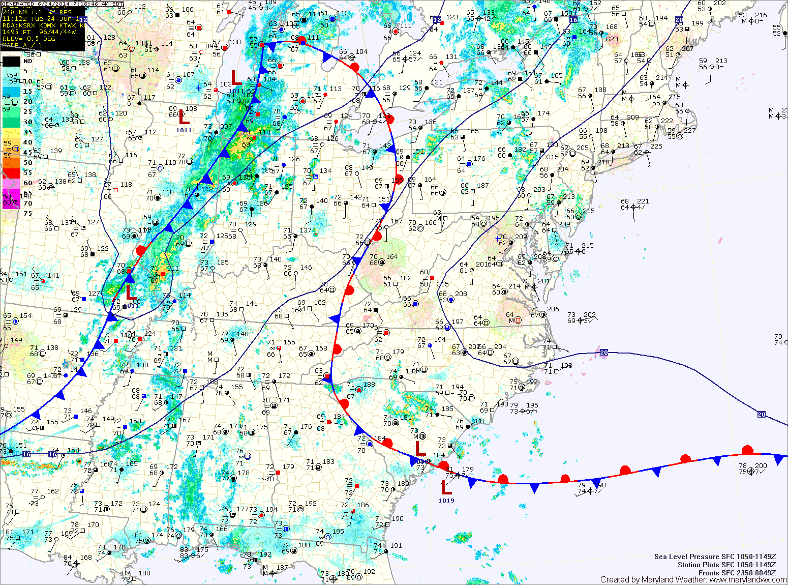
A cold front will approach from the west tomorrow. Showers and thunderstorms are likely mainly during the late afternoon and into the night. Showers and storms will be capable of very heavy rainfall and localized flooding. Highs will be in the upper 80s to around 90.
The front should clear the area by Thursday morning. Expect mostly sunny skies and highs in the mid 80s.
High pressure will set up shop over the southeast US Friday and through the weekend. This will result in a return of the heat and humidity. Highs Friday through Sunday will be in the mid to upper 80s with isolated afternoon thunderstorms possible each day.
Unsettled weather looks to continue through the majority of next week as well as several disturbances push through, keeping rain chances in the forecast each day.
Yesterday’s Weather Station Stats:
High Temp: 82.3°
Low Temp: 59.3°
Rain: 0.00″