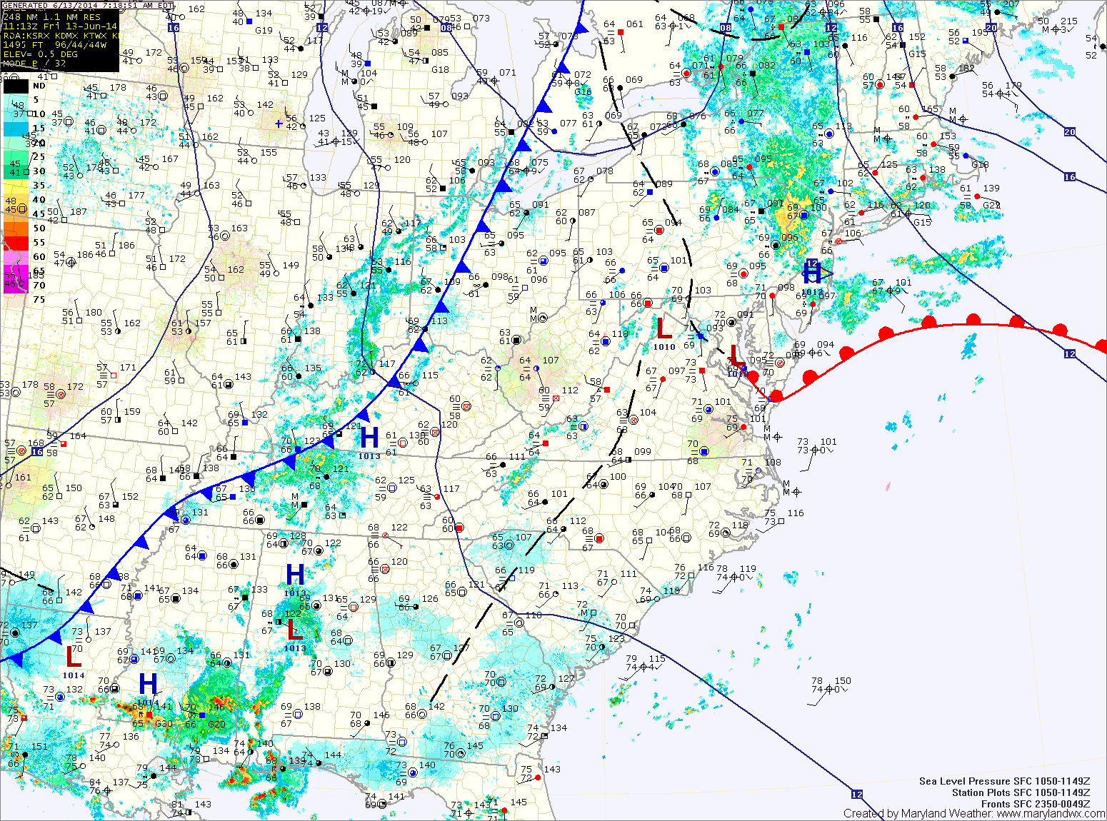
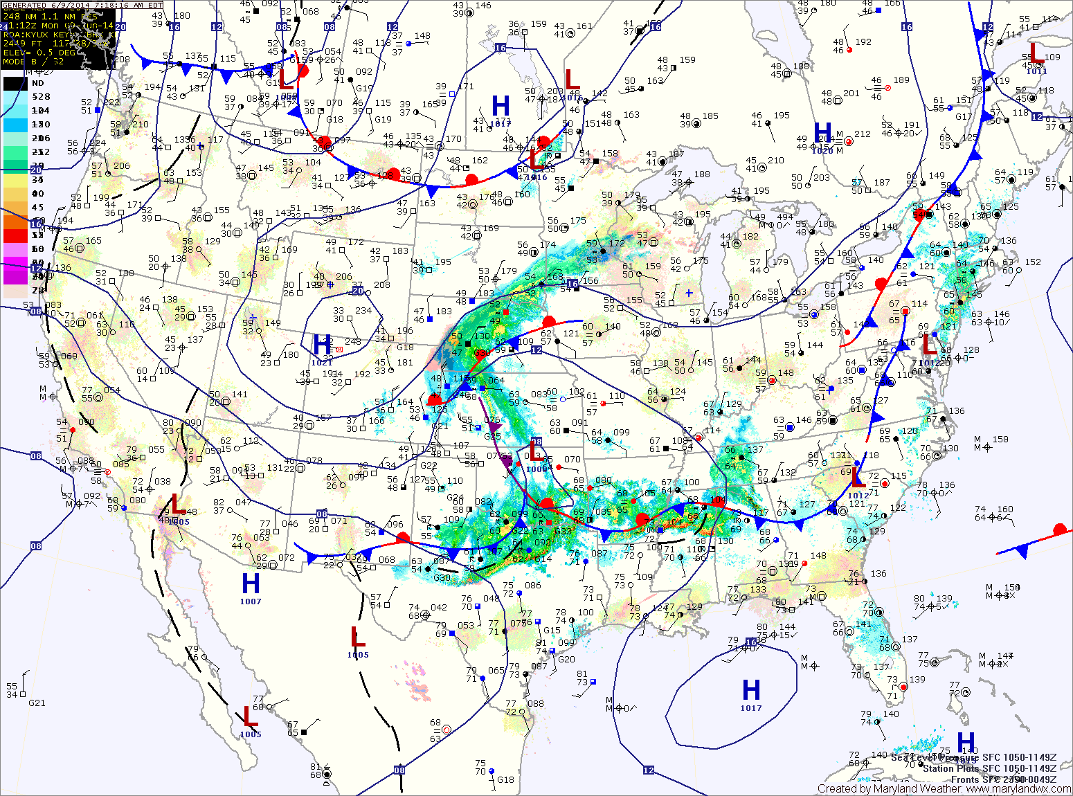
Hot and Humid this week with afternoon thunderstorms possible

Current Surface Map
Current Surface Map
The high pressure that brought pleasant weather to the region this weekend has slid off the coast and will remain there this week. As a result, southerly flow will increase the heat and humidity.

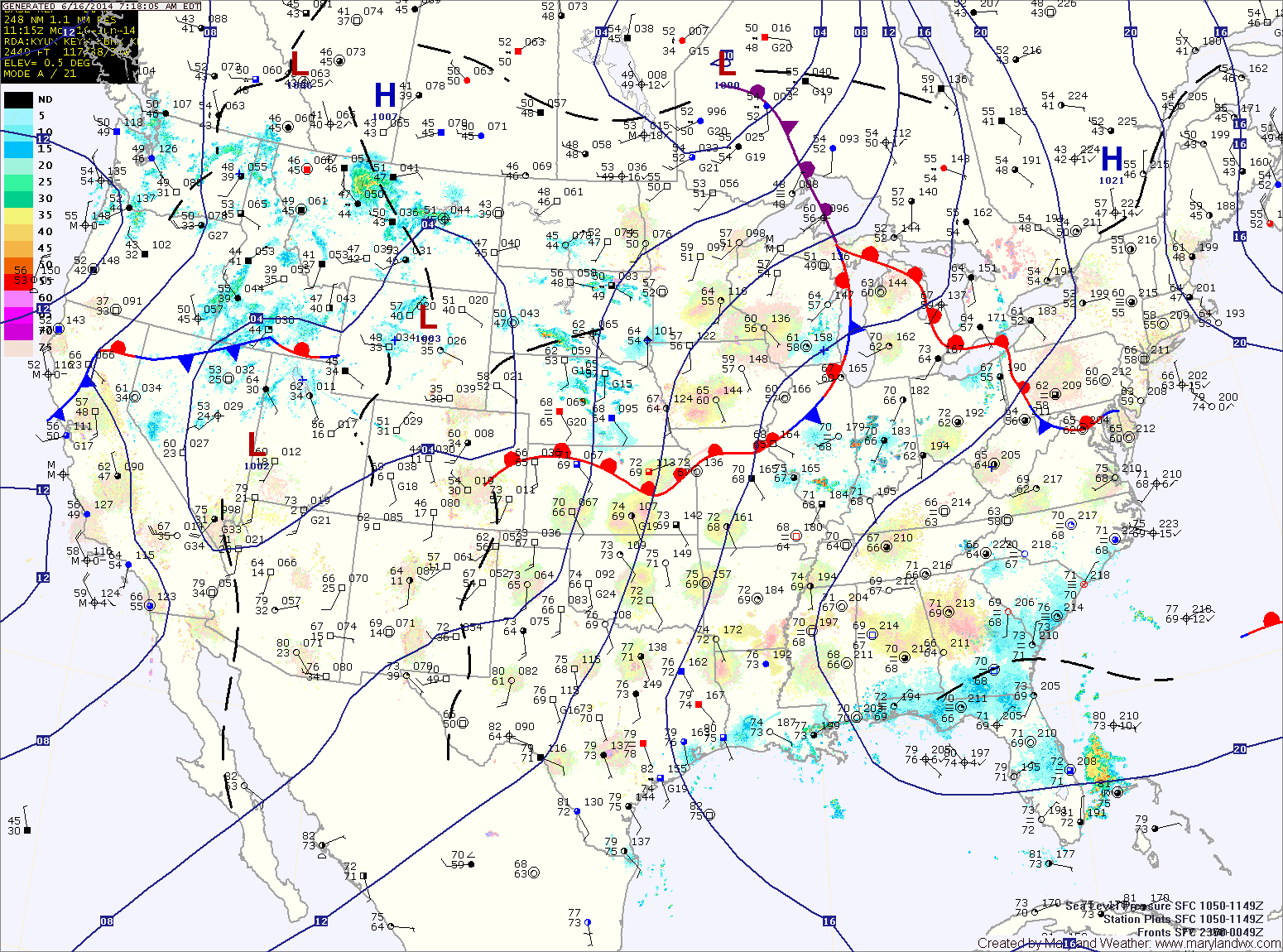
Today will feature increasing clouds this afternoon with highs in the upper 80s to low 90s. A disturbance will pass through this evening and tonight, touching off isolated to scattered showers and thunderstorms as it does. The showers and storms should move out of the area before midnight.

Tomorrow will be a few degrees warmer with afternoon showers and thunderstorms possible. Highs will be in the low 90s.

One more round of showers and thunderstorms today; Cold front crosses tonight

A FLASH FLOOD WATCH is in effect until 10pm tonight for most of central Maryland.


Current Surface Map
Current Surface Map
A cold front to our west is poised to move through the state today and tonight, pushing the warm, humid air out and bringing in cooler and drier air. Before it does, expect another warm and humid day.

Showers and thunderstorms will be likely again today into tonight as the front moves through. Some of the storms could produce locally heavy rainfall and flash flooding. Highs will be in the mid 80s.

The front will cross the area tonight, bringing an end to the rainfall.

High pressure moves in tomorrow, providing sunny skies and drier air. Highs will be around 80.

More showers and storms today; Cold front passes tomorrow night

Current Surface Map
Current Surface Map
A FLASH FLOOD WATCH is in effect for most of central and western Maryland.


With warm and humid air still in place, expect another round of showers and thunderstorms today. The storms will have ample moisture and localized flash flooding is possible this afternoon and evening. Highs will be in the low to mid 80s.

The storm threat will decrease tonight, but scattered showers and isolated storms are still possible through the overnight.

A cold front will approach tomorrow, firing up another round of showers and storms. Once again, these storms will be capable of producing locally heavy rainfall leading to flash flooding. Highs will be in the mid 80s.

Showers and thunderstorms likely today; Storms may become severe

Current Surface Map
Current Surface Map
Expect a break between this morning’s showers and storms before another round develops this afternoon. This afternoon, the storms may turn severe with damaging wind, large hail and isolated tornadoes. Highs today will be in the low to mid 80s.

We will remain in warm humid air tonight and tomorrow, keeping the threat of rain in the forecast. Additionally, another round of thunderstorms is likely tomorrow afternoon and evening. Highs will be in the low to mid 80s.

A cold front will approach on Friday, setting the stage for yet another round of showers and thunderstorms Friday afternoon and evening. The front will clear the area Friday night into Saturday morning, setting the stage for a drier weekend.

Continued warm and humid; Scattered showers and thunderstorms this afternoon

Current Surface Map
Current Surface Map
Warm and humid conditions will persist across the state today. Additionally, an unstable atmosphere will lead to scattered shower and thunderstorm development this afternoon. Highs will be in the mid 80s.

An area of low pressure will approach tomorrow, increasing shower and thunderstorm chances. Showers and thunderstorms are likely during the afternoon and evening hours. Some of the storms could become severe with damaging winds and large hail. Highs will be in the mid 80s.

The low pressure system will move by to our northwest Thursday, keeping the region in warm and humid air. Showers and thunderstorms are likely again Thursday into Thursday night. Highs will again be in the mid 80s.

Warm, humid and unsettled week ahead

Current Surface Map
Current Surface Map
With frontal boundaries, low pressure systems and humid air in place, an unsettled week is expected with shower and thunderstorm chances every day.

With a weak frontal boundary over the area today, expect isolated showers and thunderstorms to develop this afternoon. Highs will be in the low 80s.

Expect more of the same tomorrow, with highs in the mid 80s.

Low pressure that is currently over Oklahoma will move northeastward and be to our west on Wednesday. This system will reinforce shower and thunderstorm chances Wednesday into Thursday. Highs will continue in the mid 80s both days.

Mostly sunny today; Showers and possibly a thunderstorm tonight

Current Surface Map
Current Surface Map
Today will be mostly sunny, with highs in the mid 80s.

A complex of showers and thunderstorms will move into the area tonight. Expect showers and possibly a thunderstorm tonight into tomorrow. The system should push off the coast during the afternoon hours, ending the rain. Highs will be around 80.

Behind the system, high pressure will begin to push into the area Friday. Clouds will decrease and highs will be in the upper 70s to around 80.

The high will move over the area Friday evening and Saturday. Expect mostly sunny skies and highs in the low to mid 80s.

Chance of thunderstorms this afternoon

Current Surface Map
Current Surface Map
A cold front will approach from the west today while high pressure remains off the southeast coast. Southerly flow between the systems will provide the warm and humid air needed to support thunderstorm development this afternoon. Some of the storms could become strong with strong wind gusts being the primary threat. Highs will be in the mid 80s.

The front will dissipate as it moves into the area tonight and rain chances will taper during the overnight.

Tomorrow will feature increasing clouds as another system moves in from the west. Highs will be in the mid 80s.

The system will push into the area Wednesday night, bringing another round of showers and thunderstorms. These showers and storms will continue into Thursday until the system pushes off the coast during the late afternoon or evening. Highs on Thursday will be in the low 80s.

Mostly sunny today; Thunderstorms likely tomorrow afternoon

Current Surface Map
Current Surface Map
With high pressure remaining off the southeast coast, temperatures will continue to rise and skies will remain mostly sunny today. Expect highs in the low to mid 80s.

Temperatures will be even warmer tomorrow as southerly flow sharpens ahead of a cold front. This will also increase moisture and lead to afternoon and evening thunderstorms. Highs will be in the upper 80s.

The front will pass through Tuesday night, bringing an end to the thunderstorm activity.

Wednesday will be mostly sunny, with highs in the mid to upper 80s.