Sunny, breezy and warmer today

Current Surface Map
Current Surface Map
After a wet, cold and even snowy weekend, the beginning of this week will be pleasant with warmer temperatures and ample sunshine.

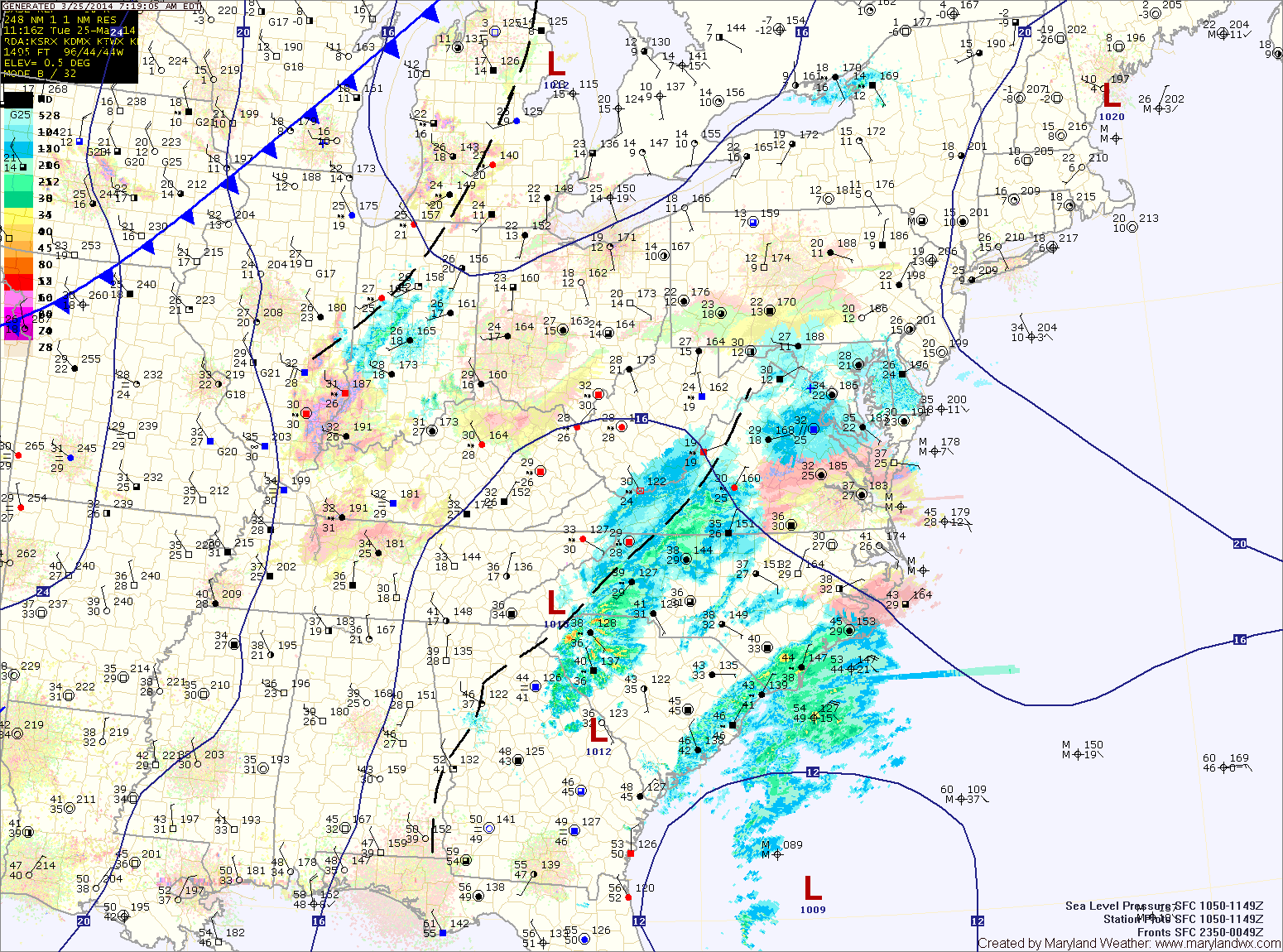
This past weekend’s storm brought over 2 inches of rain to the area and has now moved off to the northeast. The storm will still be close enough to cause breezy conditions today but otherwise, expect mostly sunny skies and highs around 60.

Tomorrow will be similar to today except winds will decrease and there will be a bit more cloudiness. Highs will be in the low 60s.

Another system will move towards the area on Wednesday causing clouds to increase. It will continue to be warm, with highs in the mid to upper 60s.

Rainy weekend on tap; Nice start to next week

Current Surface Map
Current Surface Map
A cold front to our west is spreading showers into the area this morning. The showers will increase in coverage this afternoon and last into tonight. Highs today will likely reach the upper 50s to lower 60s.

As the front moves overhead tonight, it will likely stall out. At the same time, another area of low pressure will develop to along the front and spread another round of rainfall into the area this weekend.

Expect periods of rain tomorrow. The rain could be heavy at times, especially tomorrow afternoon and into tomorrow night. Highs will be in the low 50s.

Partly sunny today; Showers likely tomorrow and into weekend

Current Surface Map
Current Surface Map
High pressure overhead today will move eastward this afternoon and evening. As a result, a generally calm and dry day is on tap.

Expect partly sunny skies and highs in the mid to upper 40s.

A cold front will approach tonight and tomorrow. Expect scattered showers to increase in coverage during the morning and through the day.

It will be warmer and breezy, with highs in the upper 50s to low 60s.

The front will push through tomorrow evening, bringing a brief end to the rainfall.

Light snow today; Warmer to end the week

Current Surface Map
Current Surface Map
A WINTER WEATHER ADVISORY is in effect for all of Maryland except for Cecil and the far western counties.


An area of low pressure developing off the southeast coast will continue to move northward while rapidly intensifying. Light snow has started to move into the area this morning and will continue this afternoon and into the evening.

The snow may be moderate at times, but accumulations will be minimal due to the late March sun angle and relatively warm surface. Expect an inch or two to accumulate, mainly on grassy surfaces. Highs today will reach the mid 30s.

Mostly sunny but chilly today; Light snow/mix likely tomorrow

Current Surface Map
Current Surface Map
High pressure will build into the region today, allowing for ample sunshine but also bringing colder air. Highs today will only top out around 40 degrees.

The high pressure will be replaced tomorrow as two pieces of energy phase off the Carolina coast and rapidly develop into a strong coastal storm. The storm will develop off the coast and will not impact the area.

However, as the two pieces of energy come together over our area, light precipitation is expected. It should be cold enough for mostly snow, but rain may mix in, especially along and east of I-95.

Any snow that falls will have an extremely tough time accumulating. Expect a coating to possibly a slushy inch, mainly on elevated surfaces and grassy areas. Highs tomorrow will be in the mid 30s.

Scattered showers likely today; Dry end to the week

Current Surface Map
Current Surface Map
A WINTER WEATHER ADVISORY is in effect this morning for: Allegany, Frederick and Washington counties.


Light showers are developing over the Blue Ridge. A Winter Weather Advisory for light freezing rain has been posted for that area as temperatures are near freezing. The showers will continue to develop and move eastward this morning and afternoon. Expect highs to reach the low to mid 40s.

The showers may continue into this evening and tonight before a cold front pushes through. The front will end the shower activity and clear the skies.

Tomorrow will be mostly sunny, breezy but warmer with highs pushing into the mid 50s.

Cloudy and cool today; Slight chance of freezing drizzle tonight

Current Surface Map
Current Surface Map
A WINTER WEATHER ADVISORY is in effect this morning for Calvert, Charles and St. Mary’s counties.


Today will be generally cloudy as low pressure to our south and high pressure to our north combine to form easterly flow off of the ocean, resulting in clouds and perhaps some freezing drizzle across southern Maryland this morning. Highs today will be around 40.

Clouds and periods of drizzle will continue tonight, with the drizzle becoming a bit more widespread. Freezing drizzle is possible once again late tonight or early tomorrow morning as temperatures drop to near freezing.

Snow gradually ending this morning; Chance of showers Wednesday

Current Surface Map
Current Surface Map
A WINTER STORM WARNING remains in effect for: Anne Arundel, Baltimore, Calvert, Caroline, Carroll, Cecil, Charles, Dorchester, Frederick, Harford, Howard, Kent, Montgomery, Prince George’s, Queen Anne’s, Somerset, St. Mary’s, Talbot, Wicomico and Worcester counties.

A WINTER WEATHER ADVISORY remains in effect for: Allegany and Washington counties.


As the latest storm system pulls away from the area, expect areas of light snow or flurries to continue over the next few hours, gradually coming to an end.

The storm generally behaved as expected, except it was colder to start and the area of heavier snow set up farther north than anticipated. Bands of heavy snow set up over central Maryland, greatly increasing snow totals. In general, 5-10″ fell across central and southern Maryland, with lesser amounts to the north. It was a tricky forecast and we certainly got a lot more snow than forecast, thanks to the enhanced banding.

Mostly sunny today; Wintry mix likely Sunday night & Monday

Current Surface Map
Current Surface Map
A FIRE WEATHER WATCH is in effect this afternoon for all of Maryland, west of the bay (except Garrett county).


Today will be mostly sunny, breezy but warmer, with afternoon highs in the upper 50s to around 60.

Clouds will increase tonight as a weak cold front approaches from the west. The front will pass through tomorrow morning, bringing a slight chance of a shower as it does. The front will push southward during the day, clouds will decrease while west winds increase but temperatures should warm into the low to mid 60s.

The front will make it into southern Virginia before stalling out Saturday night. High pressure to the north will begin to funnel cold air southward and into the area. This will set the stage for the next storm system that will approach from the southwest.