
Today will be mostly sunny, breezy but warmer, with afternoon highs in the upper 50s to around 60.
Clouds will increase tonight as a weak cold front approaches from the west. The front will pass through tomorrow morning, bringing a slight chance of a shower as it does. The front will push southward during the day, clouds will decrease while west winds increase but temperatures should warm into the low to mid 60s.
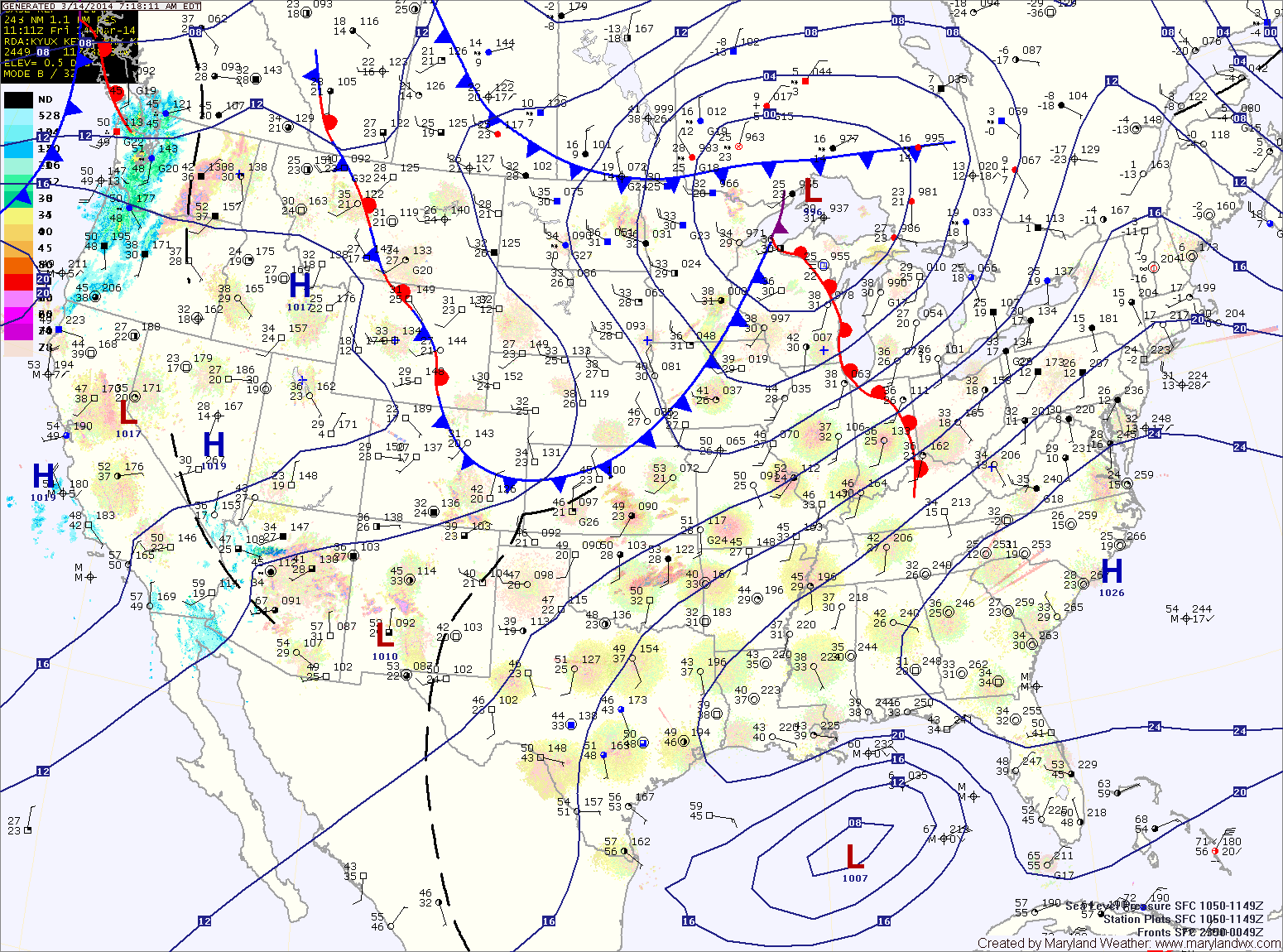
The front will make it into southern Virginia before stalling out Saturday night. High pressure to the north will begin to funnel cold air southward and into the area. This will set the stage for the next storm system that will approach from the southwest.
Clouds will increase Sunday and light rain or rain/snow mix will develop late in the day. Highs should reach the low to mid 40s.
The mix will likely change to snow Sunday night and continue Monday, possibly changing back to a mix or rain in the afternoon. Temperatures will be marginal and the mid-March sun will help limit the amount of frozen accumulation, but at this time there is the potential that Monday’s commutes could be impacted by the storm. Highs on Monday will reach the low to mid 30s.
Precipitation will likely linger into Monday night, ending as snow.
This forecast will be fine-tuned today and tomorrow and a more detailed forecast will be issued tomorrow afternoon or Sunday morning.
Tuesday should be a dry day, with highs in the low 40s.
Another system will likely bring light rain to the area on Wednesday.
Yesterday’s Weather Station Stats:
High Temp: 34.4°
Low Temp: 21.6°
Rain: 0.00″