Windy and cold today; Warmer into the weekend

Current Surface Map
Current Surface Map
A WIND ADVISORY is in effect for the entire state until 11:00am.

A WIND CHILL ADVISORY is in effect for Garrett and Allegany counties until noon.


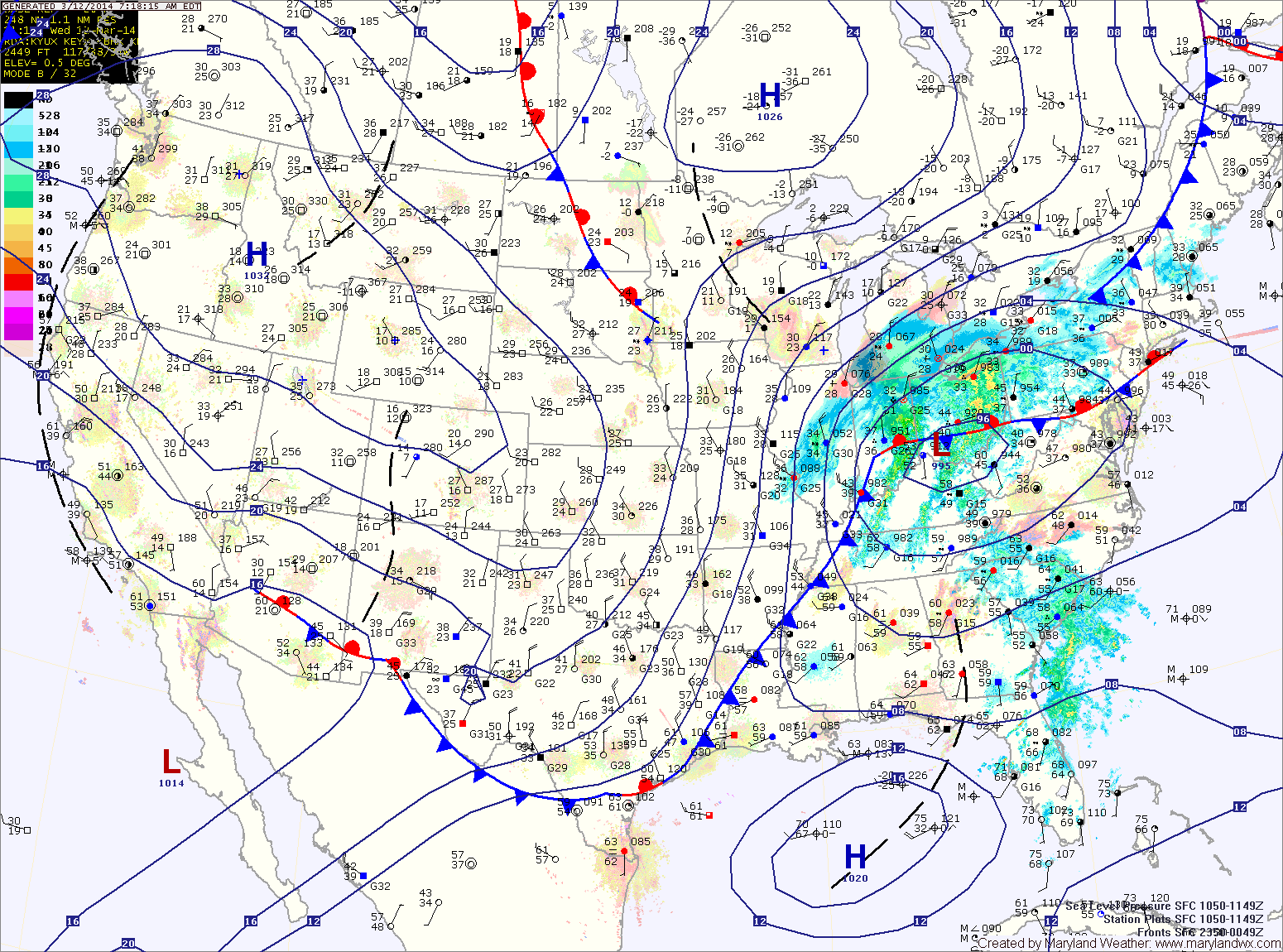
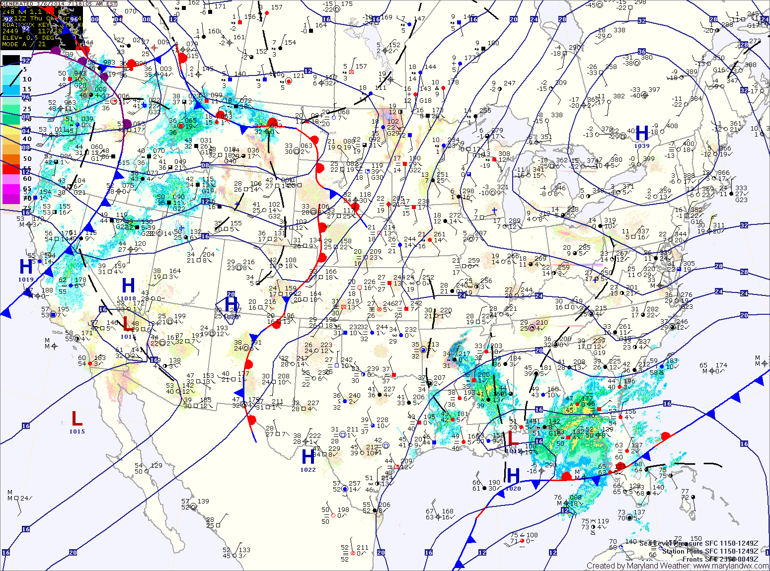
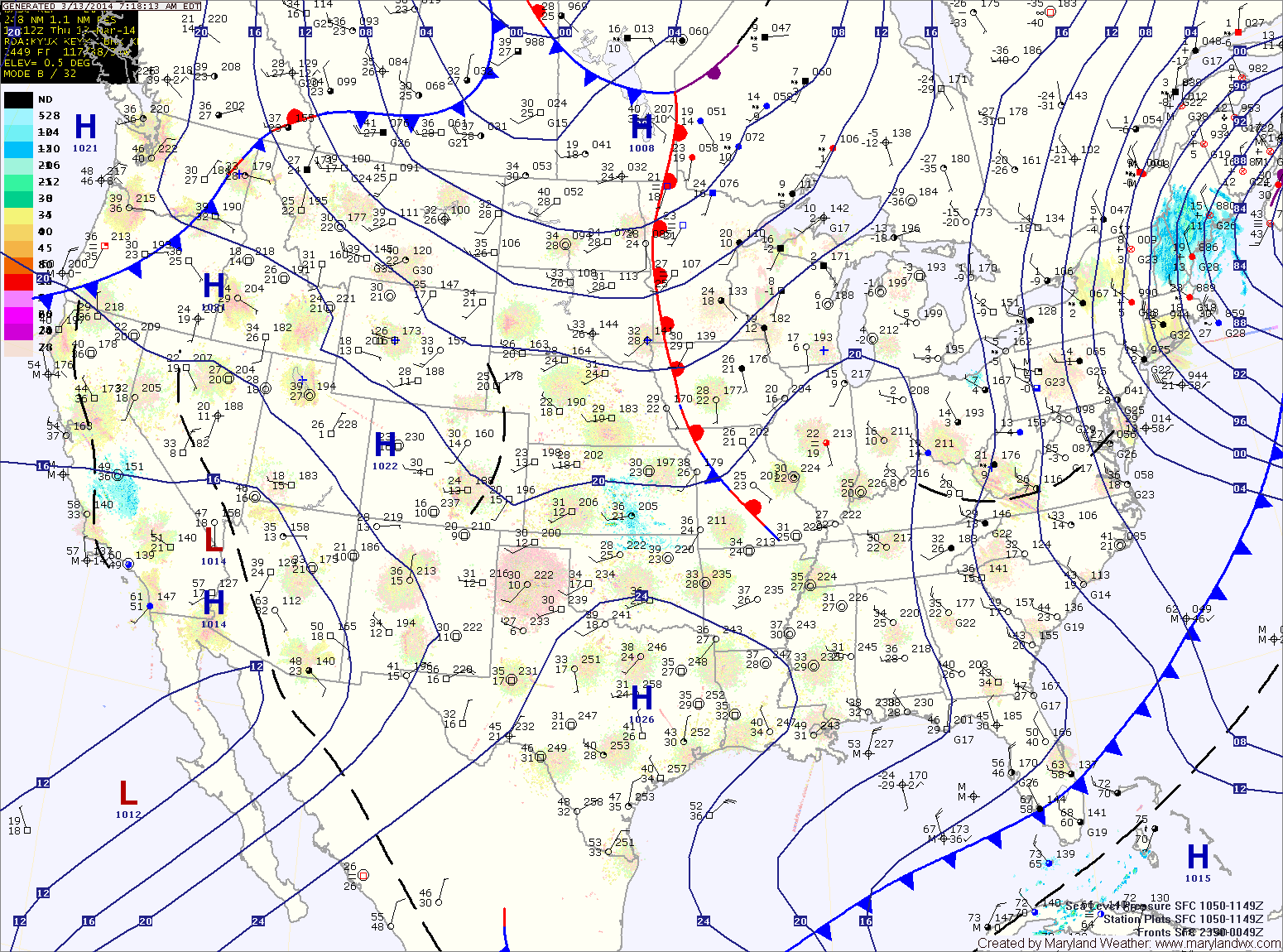
Cold high pressure continues to push into the region. As it does, gusty northwest winds are bringing in much colder air. Temperatures have fallen to near 0 in Garrett county and into the teens and 20s elsewhere.

With mostly sunny skies today, temps should climb into the low 30s for highs. It will remain windy through the day with gusts to 35mph likely into this evening.

Tomorrow will start out cold again, but temperatures will rebound into the mid 50s by the afternoon under mostly sunny skies.

A weak cold front will pass through tomorrow morning, spreading clouds and possibly a sprinkle through the area. Skies will clear during the late morning and highs will jump to near 60.

Showers and possibly a thunderstorm today; Much colder tomorrow

Current Surface Map
Current Surface Map
A Wind Advisory is in effect this evening into tomorrow morning for the entire state except the lower eastern shore


An area of low pressure and a strong cold front will move into and through the area today and tonight. Ahead of the system, strong southerly flow will push temperatures into the upper 60s to around 70 this afternoon.

Expect showers to develop later this morning into this afternoon. As the front moves closer this afternoon and evening, thunderstorms will be possible. There is a slight risk that these storms may be severe with strong, damaging winds as the primary threat. Stay alert for possible watches and warnings this afternoon and evening.

The front will clear the area late tonight, bringing in much colder air and strong gusty winds. Winds could gust to near 50mph tonight and tomorrow morning.

Partly sunny and warm today; Showers and possibly a thunderstorm tomorrow

Current Surface Map
Current Surface Map
High pressure will hang on to control our weather one more day, providing partly sunny skies and temperatures in the upper 60s to around 70 today.

The high will be displaced tomorrow as an area of low pressure and a cold front move toward the area. The system will spread showers into the area tomorrow morning. Additionally, a line of thunderstorms may move through the area tomorrow afternoon. These showers and storms may produce locally gusty winds. Highs will likely reach the upper 60s before the front moves through tomorrow night.

As the front moves through, much colder air will flow into the region as northwest winds increase. Winds will likely gust to near 40mph. Any left over rain showers may turn to snow before ending around midnight.

Partly sunny today, warmer tomorrow; Rain Wednesday

Current Surface Map
Current Surface Map
High pressure will keep the eastern part of the country dry today. Expect partly sunny skies with highs in the upper 50s.

Tomorrow will be even warmer, with highs reaching the mid 60s under partly sunny skies.

An area of low pressure will move in from the west on Wednesday. The system will basically move directly over the area through the day, bringing widespread rainfall to the area.

Expect showers through the day and into the night. Highs will be in the mid 50s.

The storm will depart Wednesday night and much colder air will move in. There is a chance that the rain ends as a brief period of snow late Wednesday night or early Thursday morning.

Light wintry mix to rain possible, mainly east; Introducing new forecast zones

Current Surface Map
Current Surface Map
A WINTER WEATHER ADVISORY is in effect for Calvert, Charles, and St. Mary’s counties until noon.


An area of low pressure is moving northeastward off the Carolina coast. The storm will stay well to our south but the northern fringe may spread some light precipitation into the southern and eastern portions of the state.

At the onset, it will be cold enough for any precip that falls to fall in the form of sleet or freezing rain. Temperatures will climb above freezing later this morning, turning any remaining precip over to plain rain. Light showers may persist through the afternoon and into tonight.

Highs today will be around 40 under cloudy skies.

High pressure builds in tomorrow, leading to a pleasant day, with partly sunny skies and highs in the mid 50s.

Partly sunny today; Chance of showers tomorrow

Current Surface Map
Current Surface Map
High pressure to our north will provide another calm day today. It will be partly sunny and breezy with highs in the low 30s.

An area of low pressure over the south will move northeastward today and tonight. The low will pass by to our south tomorrow but may come close enough to bring light rain showers to the area tomorrow morning into tomorrow evening.

Rain chances will be higher across the southern portions of the state as well as the lower eastern shore. Highs will be in the upper 30s to near 40.

High pressure builds back in on Saturday, leading to a mostly sunny day with highs in the mid 50s.

Mostly sunny today; Quiet end to the week

Current Surface Map
Current Surface Map
Today will be mostly sunny and warmer than yesterday. Highs will reach the mid to upper 30s.

As an area of low pressure approaches from the south, winds will increase tomorrow. Expect partly sunny skies with highs in the mid 30s.

The low pressure should move off the coast far enough to our south to leave the state mostly dry. There is a slight chance of a showers across lower southern Maryland and the eastern shore Friday afternoon as the low slides off the coast. Highs on Friday will be in the mid 40s.

Saturday should be warmer and dry, with highs in the low to mid 50s under partly sunny skies.

Mostly sunny but cold today

Current Surface Map
Current Surface Map
The cold, dry arctic air that overpowered our snowstorm yesterday has settled into the region. BWI hit a morning low of 4, breaking the 141 year record for coldest March temperature ever.

Temperatures will rebound today, but only warm into the mid to upper 20s under mostly sunny skies.

Another cold night is on tap tonight, with lows in the mid teens.

A slight warming trend is on tap, starting tomorrow. Highs will reach the mid 30s under mostly sunny skies.

Clouds will increase a bit on Thursday, but temperatures will continue to warm, reaching the upper 30s to near 40.

A weak upper disturbance will move through Thursday night and Friday morning, bringing a slight chance of flurries.

Snow today; Bitterly cold tonight

Current Surface Map
Current Surface Map
A WINTER STORM WARNING remains in effect for the entire state into this evening.


Precipitation has changed over to snow as planned and is now falling heavily at times.

Snow will continue into the afternoon hours before tapering off. It will also be windy at times today with gusts to around 25mph.

As forecast, the highest snow totals will be across southern Maryland, where a foot or more is likely. Totals will taper downward as you move northward, down to about 4″ along the Mason-Dixon line.

As the storm pulls away, temperatures will continue to fall and will plummet tonight. Lows will fall into the single digits by Tuesday morning.