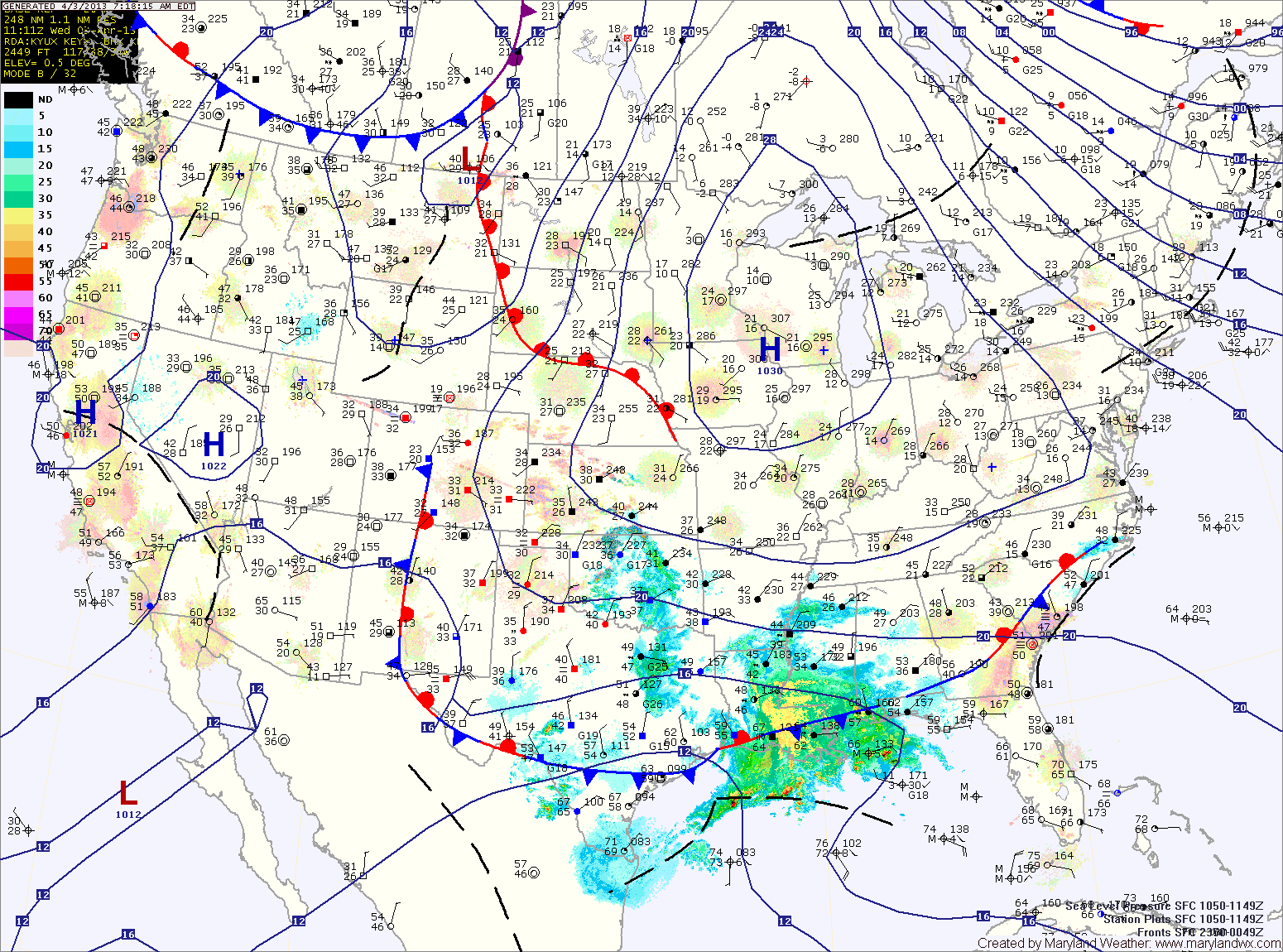
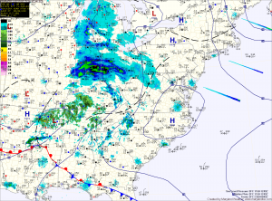
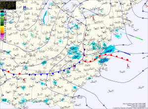
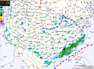
Scattered Showers through the Day

Current Surface Map
Current Surface Map
A cold front moved through the area last night and has pushed off the coast. Behind it, an upper level low pressure system will keep skies mostly cloudy today with scattered showers. Highs today will only top out in the mid 60s.

Showers will decrease in coverage through tonight as high pressure takes control of the weather. Expect clearing skies tomorrow with highs in the upper 60s to low 70s.

Sunday and Monday will be dry, with mostly sunny skies both days. Highs will be around 70 on Sunday, and warming into the mid 70s on Monday.

The warming trend continues Tuesday, with highs back to around 80 under mostly sunny skies.

Continued Windy; Red Flag Warning in Effect

Current Surface Map
Current Surface Map
As cold Canadian high pressure moves into the region, winds will continue to gust to near 30mph. These winds, combined with very low humidity values will help spread any uncontrolled fires. Highs today will only reach the upper 40s to low 50s.

High pressure moves overhead tomorrow, calming winds and continuing the sunshine. The high will move off the coast during the afternoon and high clouds will begin moving in, ahead of low pressure to the south. Highs will be in the low to mid 50s.

Low pressure will move along the southeast coast then up and off the Carolina coast. Rain will move in overnight Thursday and continue through Friday morning. As the low moves away Friday afternoon, the rain will taper off and end during the late afternoon. Highs Friday will be in the mid to upper 50s.

Mostly Sunny, Windy and Colder

Current Surface Map
Current Surface Map
Canadian high pressure is moving into the region today, bringing with it much colder air and windy conditions. Otherwise, it will be mostly sunny with a high in the upper 40s to low 50s.

Tomorrow will be similar to today, mostly sunny, windy and cold. Highs around 50 will feel much colder with wind gusts to near 30mph.

Thursday will feature increasing clouds ahead of the next storm system to affect the area. Highs will rebound into the mid 50s with lighter winds.

Mostly Sunny Today; Warming Trend into the Weekend

Current Surface Map
Current Surface Map
Today will be mostly sunny and breezy with a high in the mid 40s.

Tomorrow will be much like today, with a chance of a flurry in the morning. Highs will again be in the mid 40s.

As high pressure builds in on Saturday, temperatures will begin to climb. Highs on Saturday will be in the low to mid 50s under mostly sunny skies.

The high will begin to move off the coast on Sunday which will allow a few more clouds to filter into the region.

Highs will be even warmer, pushing into the mid to upper 50s.

Light Snow Develops This Afternoon

Current Surface Map
Current Surface Map
A Winter Weather Advisory is in effect for all of Maryland, except for Garrett County, where a Winter Storm Warning is in effect.

A weak storm system will spread light snow over the state this afternoon from west to east. 4-6 inches of snow are expected over Garrett County, while 1-3 inches are expected within the Advisory areas.

There could be isolated higher amounts, especially across northern Maryland and Southern Maryland.

The snow will begin to wind down tonight, tapering to flurries and ending between 10pm and midnight.

Clearing Today; More Light Snow Tomorrow

Current Surface Map
Current Surface Map
As one over-performing storm departs, another will bring more snow to the area tomorrow. In between, expect a sunny but cold and windy day today. Highs will top out in the mid to upper 20s.

Last night’s clipper brought a dusting to northern parts of the state, while nearly 5 inches of snow fell across southern St. Mary’s county. Totals across central Maryland of 1-2″ were common.

The next system will have a bit more moisture with it, but will be a fast mover. Expect snow to develop during the afternoon and last into tomorrow night. Snowfall totals of 1-3″ are expected at this time, impacting the evening rush hour.

Behind that system, a cold and dry weekend is on tap. Highs on Saturday will push to near freezing, pushing into the mid 30s on Sunday.

Dry Stretch with a Warming Trend

Current Surface Map
Current Surface Map
With high pressure in control of our weather, we will remain dry into the weekend and aside from a sprinkle or flurry late Saturday night or Sunday, the dry stretch will persist into next week.

Today will be mostly sunny with a high in the upper 30s.

Friday will feature another mostly sunny day with highs in the low 40s.

Temperatures will slowly increase over the weekend, with highs Saturday and Sunday in the low to mid 40s.

Mostly Sunny with a Warming Trend

Current Surface Map
High pressure has moved overhead today and will continue to move eastward. This will bring sunshine and warmer temperatures into the weekend.

Today will be mostly sunny with highs in the upper 40s.

Mostly sunny skies again tomorrow as highs push into the low 50s.

Clouds will increase a bit this weekend as weak low pressure moves by to our north late Sunday. High temperatures will continue to warm, reaching the mid 50s both Saturday and Sunday. There is also a slight chance of a shower Sunday night into Monday.