Mostly Sunny Today; Rain/Snow Tonight into Tomorrow Morning
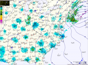
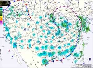
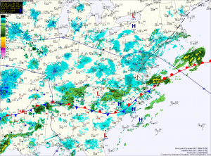
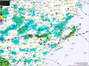
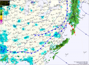
Current Surface Map
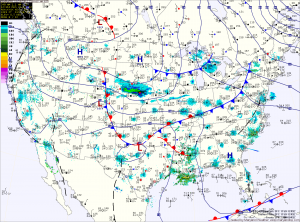
High pressure will slide off the coast today, but not before providing a mostly sunny day today. Highs will push into the upper 40s.

Low pressure currently developing over eastern Texas will move northeast today and will pass by to our south late tonight and tomorrow morning. The storm will be fairly weak and fast moving, which will limit the amount of precipitation that will fall.

Currently it appears that temperatures will be cold enough for rain to change to snow across the northern and western part of the state. In these areas, a slushy inch or two of snowfall is possible.

Warmer Weather on the Way

Current Surface Map
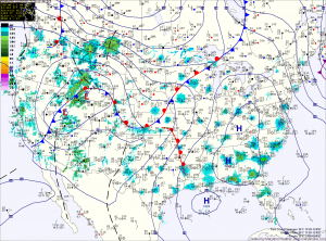
High pressure will continue to build into the region today and slide off the coast this weekend. This will lead to mostly sunny skies and warmer temperatures.

Expect sunny skies today with highs in the mid to upper 50s.

Sunshine continues tomorrow as highs continue to climb, topping out in the low to mid 60s.

More sunshine and even warmer temperatures are expected Sunday, as highs climb to near 70.

Clearing and Breezy Today

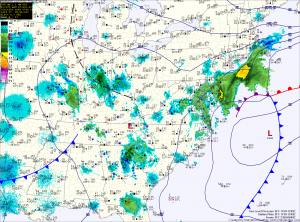
Current Surface Map
The Nor’Easter spared us yesterday but brought over a foot of snow to parts of Northern New Jersey and almost 5 inches to Central Park in New York.

It continues to move northward and away from the area as high pressure moves in behind it. This will lead to clearing skies today, but will also cause winds to increase, gusting to near 30mph this afternoon.

Highs today will be in the low 50s.

Wintry Day on Tap

Current Surface Map
The Nor’Easter that was forecast to move up the coast will be close enough to the state to bring wintry precipitation, mainly across central and eastern Maryland.

The storm is currently situated off the Delmarva coast this morning. It will continue to strengthen as it moves north and will also continue to push light wintry precipitation into the state. Winds will increase today and into tomorrow, gusting to around 30mph.

Light precipitation has pushed into central Maryland where a light rain/snow/graupel mix is currently falling. Further south and east, light rain is falling.

The mix across central Maryland will eventually change to all snow later this afternoon and into this evening as colder air flows in from the north and evaporative cooling continues. The heaviest precip will fall late this afternoon and evening and the snow will taper off overnight.

Mostly Sunny Today; Nor’Easter Threat Diminishes

Current Surface Map
Today will be mostly sunny with highs in the upper 40s to low 50s. Clouds will increase tonight as low pressure over the southeast turns the corner and begins to move up the coast.

Models are converging on a solution that brings the low up the coast, but farther out to sea, meaning we will be on the fringe of it.

Rain chances and winds increase tomorrow, mainly for central and eastern Maryland, and taper off to the west. Highs will be in the mid 40s.

Expect light rain to continue tomorrow night, tapering off early Thursday. Highs will approach 50 degrees under decreasing clouds.

Behind the low, high pressure builds in for the end of the week and the weekend. Highs Friday will be around 50 under sunny skies.

Decreasing Clouds Today; Coastal Storm Midweek

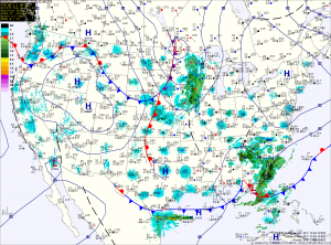
Current Surface Map
High pressure will build into the area today and bring a return to sunshine for this afternoon and tomorrow. Highs both days will be around 50 degrees.

Computer models are in agreement that an area of low pressure currently over Missouri will dive to the Gulf Coast where it will intensify and turn the corner to move up the eastern seaboard.

While they agree on this much, there is slight disagreement in the eventual track and as is always the case with these storms, the exact track will determine our weather and a small change in the track can have drastic effects on the forecast.

Rain Moves Out; Drier Air Moves In

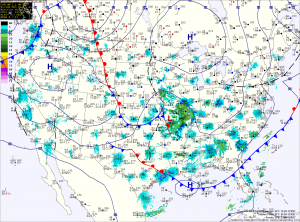
Current Surface Map
Showers associated with a cold front will continue to move through the area this morning as the cold front moves off the coast. Rainfall should come to an end later this morning as the front clears the state. A few breaks in the cloud cover are expected by this evening and highs today will push into the low 70s.

Cooler and drier air will filter into the region tonight and through this weekend. Highs tomorrow and Sunday will be in the mid 60s under mostly sunny skies.

A mostly dry stretch appears to be on tap next week. High pressure will dominate the weather for the eastern portion of the country, blocking weather systems from the region.

Partly Sunny, Slight Chance of a Shower

Current Surface Map
Today will be partly sunny with an isolated shower possible this afternoon, mainly in the western portion of the state. Highs will be in the mid 80s.

Expect more of the same tomorrow with highs in the mid to upper 80s.

The humidity will begin to increase on Friday, as the stationary front that has been in the Carolinas begins to move northward as a warm front. Isolated showers and thunderstorms are possible during the afternoon and evening. Highs will be in the upper 80s.

Mostly Sunny, Isolated Thunderstorms

Current Surface Map
The stationary front to our south will continue to sink further south today, keeping the best rain chances south of here. There will be a slight chance of an isolated shower or thunderstorm this afternoon with otherwise mostly sunny skies. Highs today will push into the mid 80s.

Slight rain chances continue through tonight and into tomorrow as temperatures remain seasonal. Highs will be in the mid to upper 80s.

The front will begin to move back northward on Thursday as a warm front. Before the front moves in, expect a pleasant day on Thursday with highs in the mid 80s under mostly sunny skies.

High pressure takes control

Current Surface Map
The cold front that was to our west yesterday and brought showers to the state is now crossing the area and will usher in drier air and breezy conditions. Highs today will be in the low 80s under mostly sunny skies.

Tomorrow will be slightly cooler than today and feature a bit more cloud cover, with highs in the upper 70s. There is a slight chance of a shower east of the bay as the area of low pressure that brought the cold front through drifts southeastward and out to sea.

High pressure remains in control through the weekend and into next week. Highs will be in the upper 70s to low 80s Friday through Sunday with mostly sunny skies.