Quiet end to the week; Rain chances decrease Saturday

Current Surface Map
Current Surface Map
After another cold start, today will feature increasing clouds and highs in the mid 50s.

Tomorrow will be a cloudy day but warmer, with highs in the upper 50s to around 60.

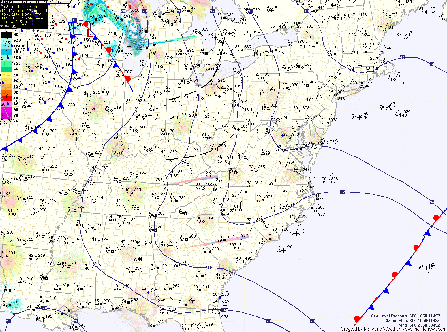
An area of low pressure may approach from the south on Saturday, but at this time, it appears it will slide off the coast before impacting the area with anything more than clouds. Highs will be in the mid 60s.

Sunday will be mostly sunny with highs in the mid 60s.

Mostly sunny today; Showers likely tomorrow

Current Surface Map
Current Surface Map
High pressure moving off the south east coast will provide another sunny and warm day today. Highs will be around 70.

A cold front will approach from the west tomorrow. At the same time, an area of low pressure is expected to develop along the front. These two features will spread showers into the area late tomorrow morning into tomorrow afternoon.

Rain chances will increase tomorrow evening, into tomorrow night as the area of low pressure moves through. Highs tomorrow will be in the upper 60s to around 70.

The system will clear the area early Saturday morning and skies will clear by afternoon. Highs will be in the low 70s.

Decreasing clouds today; Sunny tomorrow and Thursday

Current Surface Map
Current Surface Map
High pressure will start to build into the region today as low pressure moves away. This will result in decreasing clouds and breezy conditions today. Highs will top out in the mid 60s.

Tomorrow and Thursday will be mostly sunny with highs in the mid to upper 60s each day.

An area of low pressure and a cold front will approach on Friday. Expect showers to develop during the day, increasing in coverage and intensity Friday night before clearing the area Saturday morning.

Highs on Friday will be in the upper 60s to low 70s.

Sunny, breezy and warmer today

Current Surface Map
Current Surface Map
After a wet, cold and even snowy weekend, the beginning of this week will be pleasant with warmer temperatures and ample sunshine.

This past weekend’s storm brought over 2 inches of rain to the area and has now moved off to the northeast. The storm will still be close enough to cause breezy conditions today but otherwise, expect mostly sunny skies and highs around 60.

Tomorrow will be similar to today except winds will decrease and there will be a bit more cloudiness. Highs will be in the low 60s.

Another system will move towards the area on Wednesday causing clouds to increase. It will continue to be warm, with highs in the mid to upper 60s.

Partly sunny today; Showers likely tomorrow and into weekend

Current Surface Map
Current Surface Map
High pressure overhead today will move eastward this afternoon and evening. As a result, a generally calm and dry day is on tap.

Expect partly sunny skies and highs in the mid to upper 40s.

A cold front will approach tonight and tomorrow. Expect scattered showers to increase in coverage during the morning and through the day.

It will be warmer and breezy, with highs in the upper 50s to low 60s.

The front will push through tomorrow evening, bringing a brief end to the rainfall.

Light snow today; Warmer to end the week

Current Surface Map
Current Surface Map
A WINTER WEATHER ADVISORY is in effect for all of Maryland except for Cecil and the far western counties.


An area of low pressure developing off the southeast coast will continue to move northward while rapidly intensifying. Light snow has started to move into the area this morning and will continue this afternoon and into the evening.

The snow may be moderate at times, but accumulations will be minimal due to the late March sun angle and relatively warm surface. Expect an inch or two to accumulate, mainly on grassy surfaces. Highs today will reach the mid 30s.

Partly sunny today, warmer tomorrow; Rain Wednesday

Current Surface Map
Current Surface Map
High pressure will keep the eastern part of the country dry today. Expect partly sunny skies with highs in the upper 50s.

Tomorrow will be even warmer, with highs reaching the mid 60s under partly sunny skies.

An area of low pressure will move in from the west on Wednesday. The system will basically move directly over the area through the day, bringing widespread rainfall to the area.

Expect showers through the day and into the night. Highs will be in the mid 50s.

The storm will depart Wednesday night and much colder air will move in. There is a chance that the rain ends as a brief period of snow late Wednesday night or early Thursday morning.

Light wintry mix to rain possible, mainly east; Introducing new forecast zones

Current Surface Map
Current Surface Map
A WINTER WEATHER ADVISORY is in effect for Calvert, Charles, and St. Mary’s counties until noon.


An area of low pressure is moving northeastward off the Carolina coast. The storm will stay well to our south but the northern fringe may spread some light precipitation into the southern and eastern portions of the state.

At the onset, it will be cold enough for any precip that falls to fall in the form of sleet or freezing rain. Temperatures will climb above freezing later this morning, turning any remaining precip over to plain rain. Light showers may persist through the afternoon and into tonight.

Highs today will be around 40 under cloudy skies.

High pressure builds in tomorrow, leading to a pleasant day, with partly sunny skies and highs in the mid 50s.

Mostly sunny today; Quiet end to the week

Current Surface Map
Current Surface Map
Today will be mostly sunny and warmer than yesterday. Highs will reach the mid to upper 30s.

As an area of low pressure approaches from the south, winds will increase tomorrow. Expect partly sunny skies with highs in the mid 30s.

The low pressure should move off the coast far enough to our south to leave the state mostly dry. There is a slight chance of a showers across lower southern Maryland and the eastern shore Friday afternoon as the low slides off the coast. Highs on Friday will be in the mid 40s.

Saturday should be warmer and dry, with highs in the low to mid 50s under partly sunny skies.

Mostly sunny but cold today

Current Surface Map
Current Surface Map
The cold, dry arctic air that overpowered our snowstorm yesterday has settled into the region. BWI hit a morning low of 4, breaking the 141 year record for coldest March temperature ever.

Temperatures will rebound today, but only warm into the mid to upper 20s under mostly sunny skies.

Another cold night is on tap tonight, with lows in the mid teens.

A slight warming trend is on tap, starting tomorrow. Highs will reach the mid 30s under mostly sunny skies.

Clouds will increase a bit on Thursday, but temperatures will continue to warm, reaching the upper 30s to near 40.

A weak upper disturbance will move through Thursday night and Friday morning, bringing a slight chance of flurries.