Cold Today, Warmer this Weekend and Next Week
- A Wind Chill Advisory is in effect for: Allegany, Baltimore, Carroll, Frederick, Harford, Howard, Montgomery and Washington counties With a fresh snow pack and arctic air settled over the…

The high will slide off the coast tomorrow and onshore flow will develop, mainly in eastern and central Maryland. This will keep any shower or thunderstorm activity confined to the mountains. Highs will be in the low 80s under partly sunny skies.
Sunday will be similar to Saturday with isolated showers and storms in the mountains, partly sunny skies further east. Highs will be in the low to mid 80s.
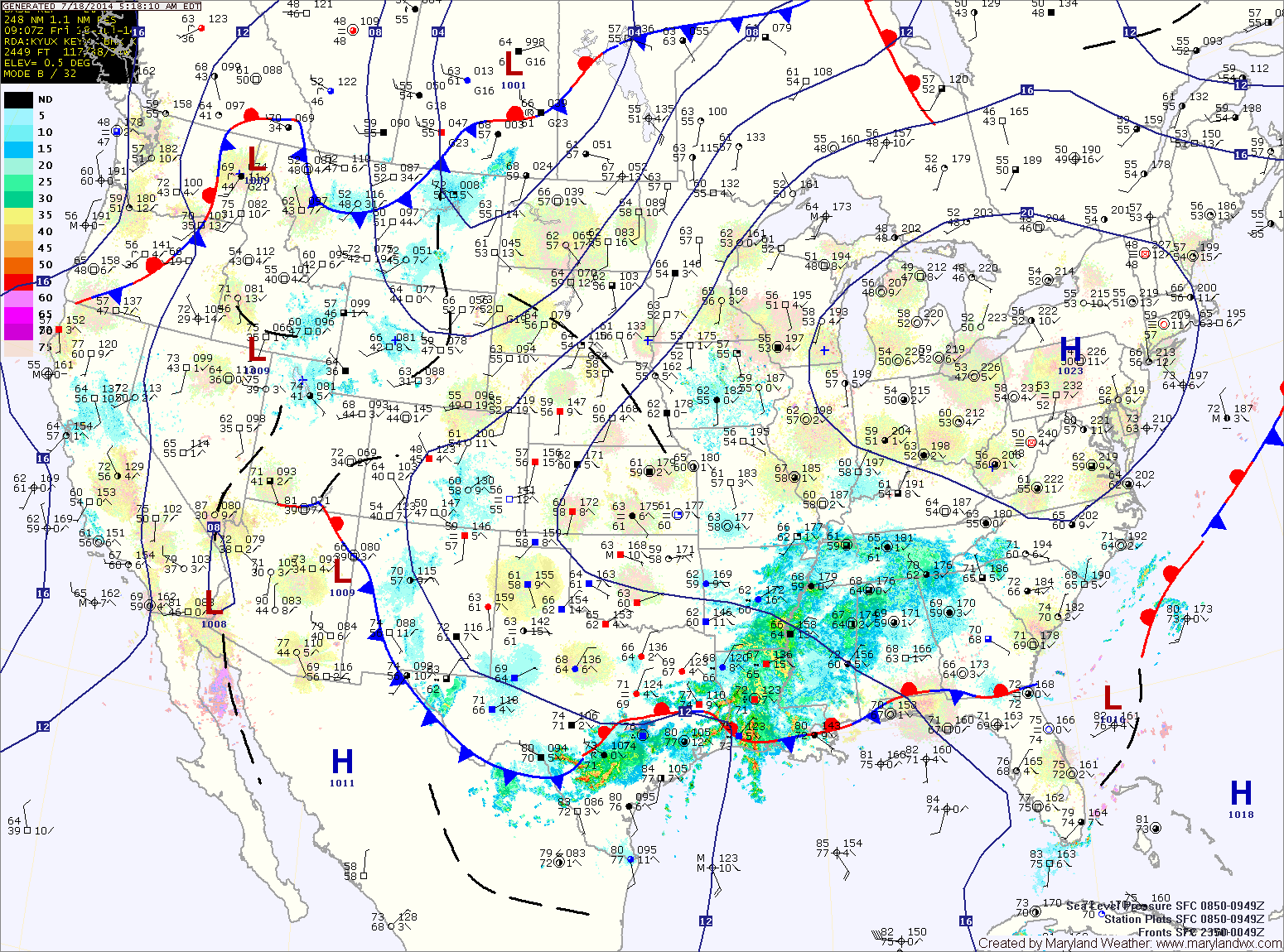
A FLASH FLOOD WATCH is in effect until 10pm tonight for most of central Maryland.
Showers and thunderstorms will be likely again today into tonight as the front moves through. Some of the storms could produce locally heavy rainfall and flash flooding. Highs will be in the mid 80s.
The front will cross the area tonight, bringing an end to the rainfall.
High pressure moves in tomorrow, providing sunny skies and drier air. Highs will be around 80.
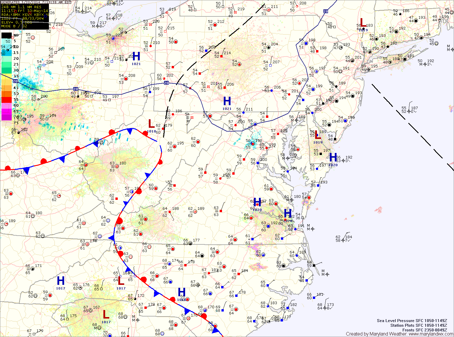
The high will shift the flow to the north during the late morning and into the afternoon. This will help to dry out the airmass and will result in a mix of clouds and sun this afternoon. Highs will be in the low 70s.
The high will continue to build into the region tomorrow. Expect mostly sunny skies and highs in the upper 70s to low 80s.
Sunday will feature more sunshine, with highs in the mid 70s.
Areas of fog will develop tonight as the easterly flow continues.
As we head into tomorrow, high pressure will begin to build in from the northwest. This will scour out the moisture and turn the flow to a more northerly direction. As a result, expect morning clouds to break allowing some afternoon sunshine. There is a slight chance of a shower during the late afternoon, but most areas will remain dry. Highs will be in the low to mid 70s.
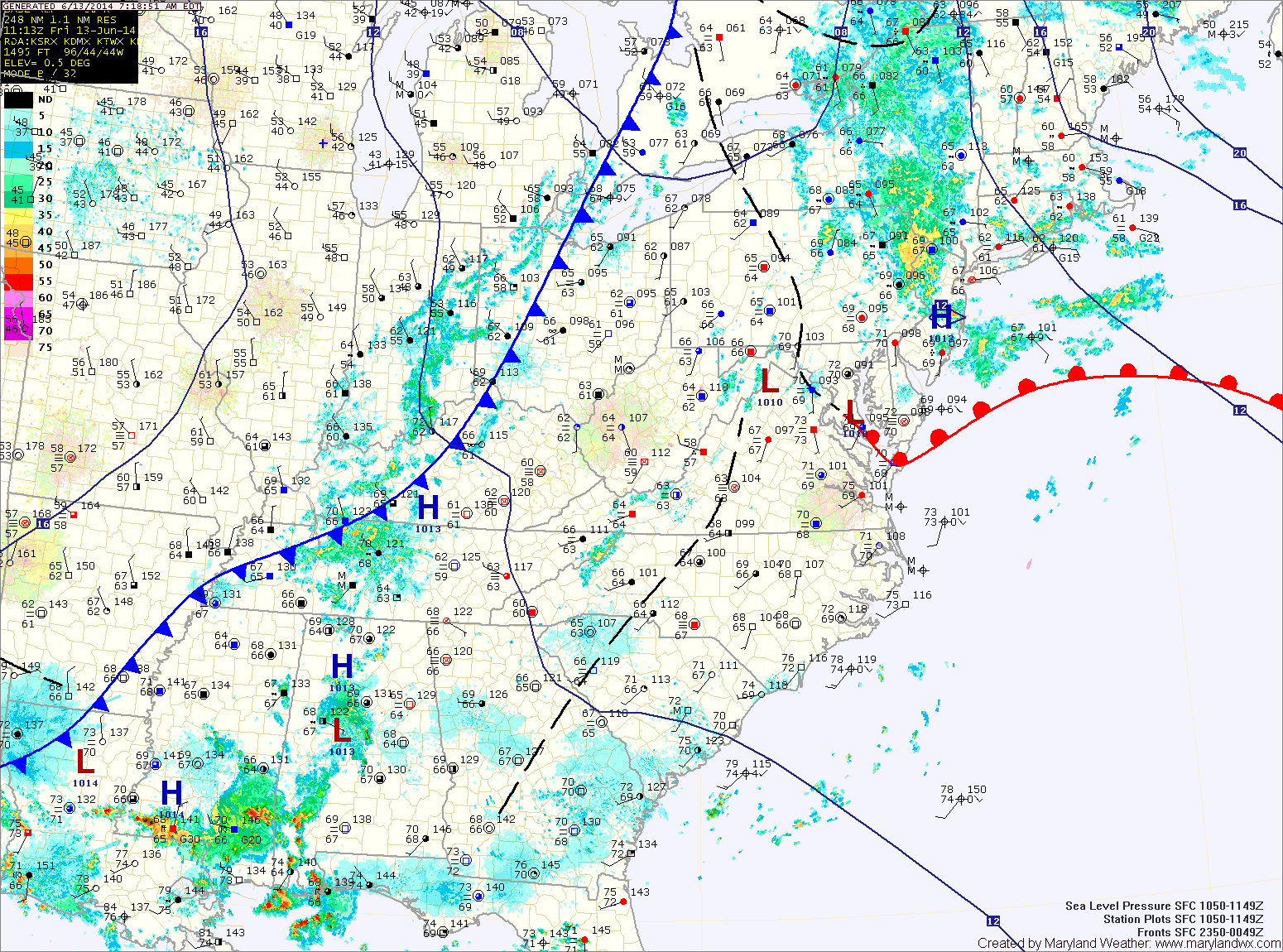
A weak disturbance will move along the front tonight into tomorrow morning, bringing a slight chance of showers. Clouds will remain in the area tomorrow, with highs around 70.
The front will push northward on Wednesday, bringing another chance of showers to the area as it does. Highs on Wednesday will be in the upper 60s.
Thursday will be warmer as southerly flow develops across the region. Highs will be in the low 80s under partly sunny skies.
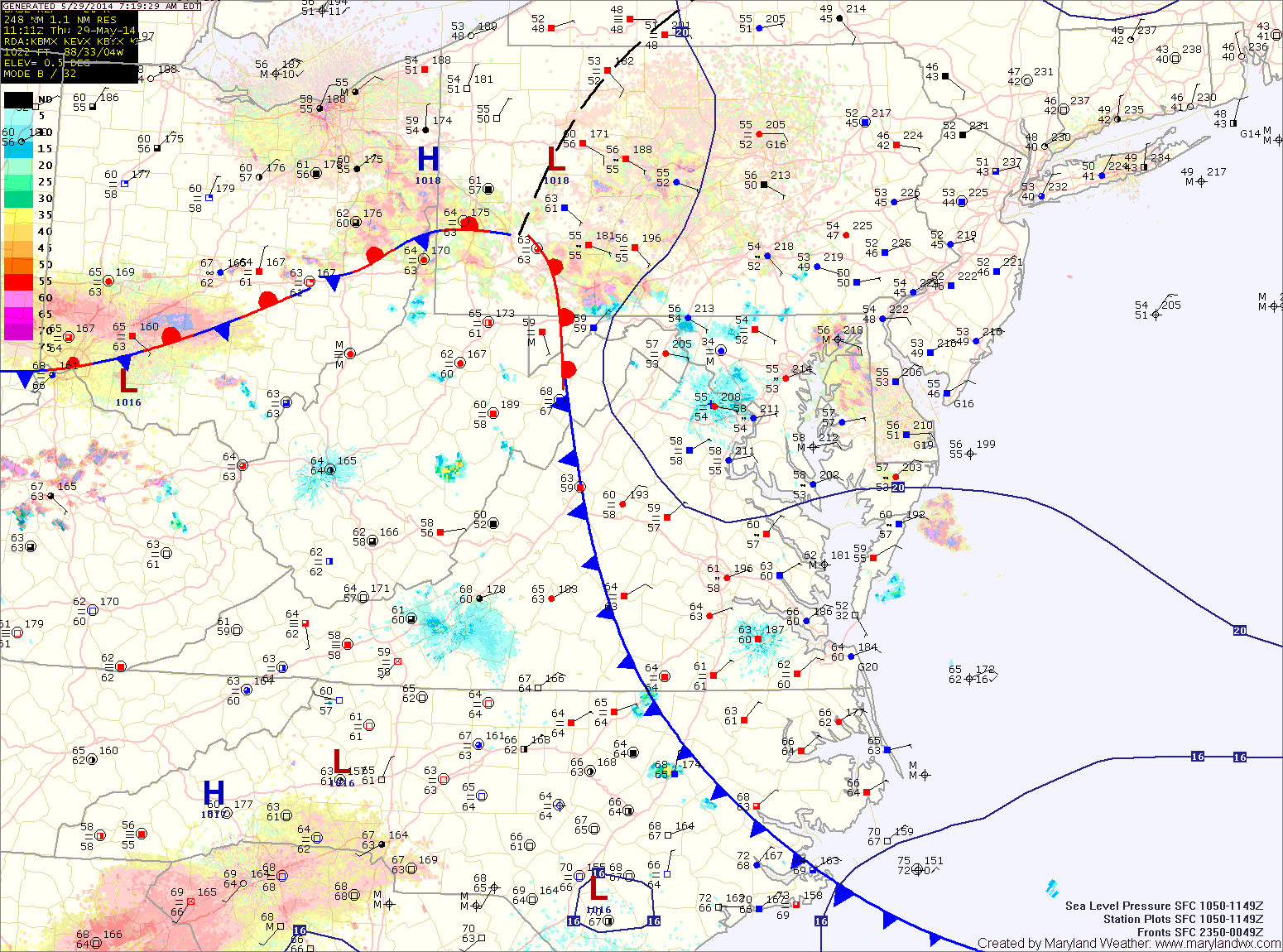
Another piece of energy will pass through tomorrow, touching off isolated to scattered afternoon showers and thunderstorms. Highs will be around 70.
A third piece of energy will move through with a cold front on Sunday. This front will also have the ability to kick off a few isolated showers Sunday afternoon and evening. Highs will be around 70.