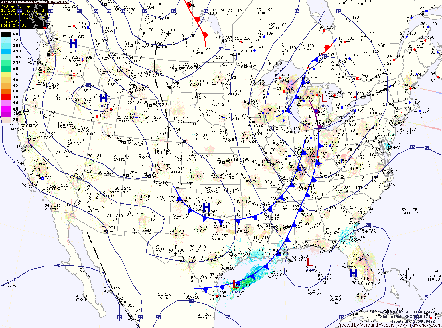
Sunny and cold today; Remains cold through end of the week

Current Surface Map
Current Surface Map
Yesterday’s snowstorm has departed the area and has brought in cold arctic air. Snowfall totals range from around 10″ near the PA border, to 7″ at BWI to 1-4″ across southern Maryland and on the lower eastern shore.

A Wind Chill Advisory is in effect for central Maryland until noon for wind chills to -15. Highs today will be in the low teens with gusty winds.

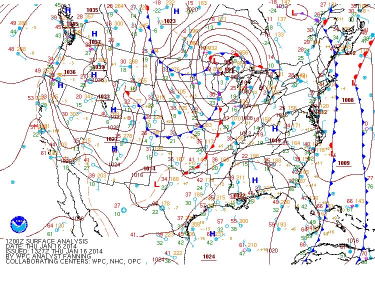
A clipper system will move into the area tomorrow, bringing a chance of snow showers during the afternoon along with more cold air. Highs will be in the low 20s.

Friday will be mostly sunny with highs around 20.

Mostly sunny today; Snow showers tonight and tomorrow night

Current Surface Map
Current Surface Map
Today will be mostly sunny with highs in the mid 40s.

A cold front will move through tonight bringing an area of light snow showers with it. A dusting is possible in most areas as it crosses during the overnight.

Tomorrow will end up mostly sunny with highs in the mid 30s.

Another weak area of precip will move though tomorrow night, bringing another chance of light snow or flurries. After that moves through, expect another mostly sunny day on Sunday with highs in the upper 30s to around 40.

Becoming Mostly Sunny Today

Current Surface Map
Current Surface Map
Clouds will continue to clear out today leading to mostly sunny skies this afternoon with highs in the low to mid 40s.

Clouds will increase again tomorrow as another weak system approaches from the north west. This system will bring another round of light snow showers tomorrow night into Saturday morning. Highs tomorrow will be in the mid 40s, highs on Saturday will be in the upper 30s.

Another weak system may bring another round of light snow showers Saturday night.

A quieter stretch will begin on Sunday with mostly sunny skies expected through Tuesday with highs in the mid 40s each day.

Foggy this morning; Snow Showers possible tonight

Current Surface Map
Current Surface Map
Areas of dense fog have developed across the state this morning and a Dense Fog Advisory is in effect for central Maryland and most of the eastern shore. In some areas, temperatures are at or below freezing leading to freezing fog and icy conditions. The fog should burn off over the next few hours leading to partly sunny skies this afternoon. Highs will be in the mid 40s.

A weak cold front will cross the area tonight as low pressure develops off shore. In between the two, an area of light snow will likely develop. This area will likely be focused across Virginia, but flurries or light snow showers are possible across the state during the overnight hours into tomorrow morning. Little to no accumulation is expected.

Tomorrow will feature clearing skies with highs around 40.

Showers into the Afternoon Today

Current Surface Map
Current Surface Map
A cold front is approaching from the west and is spreading showers through the area this morning. The showers will continue into this afternoon before the front crosses. Highs will be in the low 50s.

A weak system will bring a chance of light rain tomorrow, changing to light snow tomorrow night. The precip will be very light and nothing more than flurries to perhaps a dusting on grassy surfaces is expected. Highs tomorrow will be in the upper 40s.

Thursday will be mostly sunny and breezy with highs in the upper 30s to near 40.

Rain Today; Chance of Snow Showers Tomorrow

Current Surface Map
Current Surface Map
A conveyor belt of moisture originating in the tropical Pacific continues to slide up the coast ahead of a cold front. Expect periods of rain through late afternoon today. Temperatures will continue to drop through the day, falling into the 40s by evening.

The front clears the area tonight, bringing an end to the rain and allowing colder air to filter in. Meanwhile, a potent upper level system will swing through tomorrow bringing the possibility of snow squalls during the afternoon, mainly across the mountains. Brief isolated snow showers could make it into Central Maryland, with little to no accumulation expected. Temperatures will be above freezing (mid to upper 30s) so any accumulation will quickly melt.

Warming Up through the Weekend

Current Surface Map
Current Surface Map
High pressure has moved off the southeast coast. Southerly flow is developing and will transport warmer air into the region. Expect mostly sunny skies today with highs in the mid 50s.

The flow will strengthen tomorrow as a cold front moves in from the west. Temperatures will climb to near 60 degrees as clouds increase through the day.

Winter begins on Saturday but it will definitely feel more like spring. Expect more clouds than sun but despite those clouds, temperatures will continue to warm. Highs will be in the mid to upper 60s.

Arctic Front Moving Through

Current Surface Map
Current Surface Map
An arctic cold front is moving through the region, bringing much colder air, gusty winds and scattered snow showers as it does. Today’s high temperature was 53 degrees at midnight.

Temperatures will continue to fall into the 30s this morning before rebounding a little this afternoon, topping out around 40 degrees. East of the mountains, no snow accumulation is expected.

Tomorrow will be sunny but breezy and cold, with highs in the low to mid 40s.

With high pressure overhead, Thursday will be sunny with light winds and highs in the upper 40s.

Mostly Sunny Today; Strong Cold Front Moves Through Tonight

Current Surface Map
Current Surface Map
Today will be mostly sunny with a high in the mid 50s.

A strong cold front will move into the region tonight and through by tomorrow morning. The front will bring scattered showers, possibly ending as snow showers tomorrow morning. The front will also bring very cold air to the region on gusty northwest winds. Highs tomorrow will be around 40 degrees with wind gusts to near 25 mph.

Overnight lows Tuesday night will dip into the mid to upper 20s.

Wednesday will be sunny but blustery and cold, with highs in the low 40s.

Scattered Showers This Afternoon

Current Surface Map
Current Surface Map
Yesterday’s storm continues to move away from the area, leaving northwest flow in it’s wake. A total of 3.2 inches of snow fell at BWI yesterday, making it the snowiest day since January 2011! Totals around 5 inches were common along and west of I-95.

Pop-up rain and snow showers are possible this afternoon. It will be breezy, with highs in the low to mid 40s.

Partly sunny conditions with northwest flow will persist through the end of the week, maintaining below normal temperatures. Highs Wednesday through Friday will be around 50 degrees.