
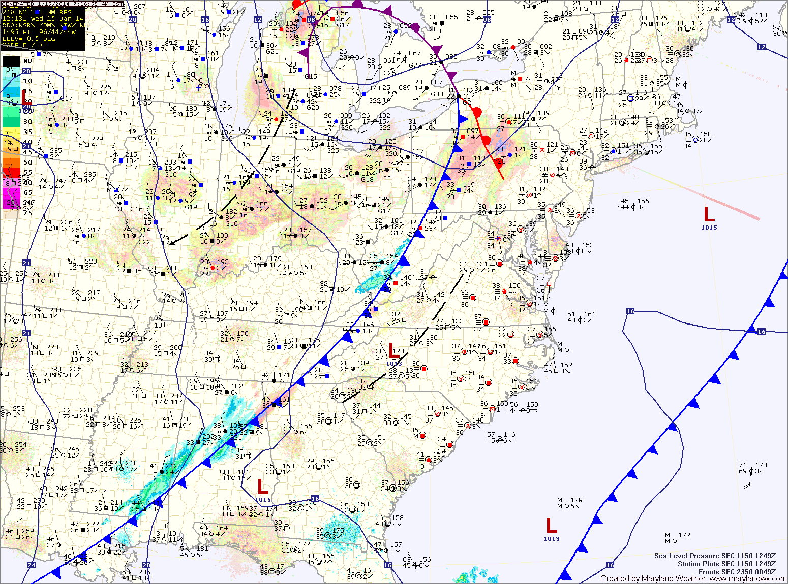
A weak cold front will cross the area tonight as low pressure develops off shore. In between the two, an area of light snow will likely develop. This area will likely be focused across Virginia, but flurries or light snow showers are possible across the state during the overnight hours into tomorrow morning. Little to no accumulation is expected.
Tomorrow will feature clearing skies with highs around 40.
Friday will see clouds increase again as another weak system moves towards the area. This system will bring another chance of light snow showers Friday afternoon and Friday night. Highs will be in the mid 40s.
A mix of clouds and sun is expected on Saturday with highs in the mid 30s. Yet another weak system may bring another shot of flurries or snow showers Saturday night.
Sunday and Monday will be mostly sunny with highs in the low to mid 40s.
Yesterday’s Weather Station Stats:
High Temp: 53.1°
Low Temp: 34.9°
Rain: 0.21″