Partly Sunny Today; Light Snow likely Tonight into Tomorrow

Current Surface Map
Current Surface Map
Expect more clouds than sun today with highs in the mid to upper 30s.

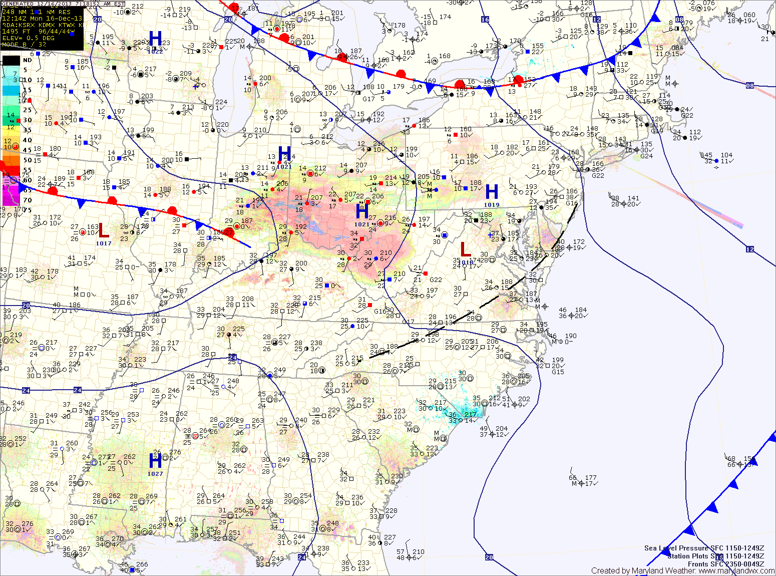
Tonight, a clipper system will approach from the west, bringing a swath of light snow through the area into tomorrow morning.

The precip will be light and totals of an inch or less are expected with the highest amounts near the Mason-Dixon line.

The snow should come to an end during the afternoon hours as westerly winds increase. Highs will be in the upper 30s.

High pressure builds in on Wednesday resulting in partly sunny skies and highs around 40.

Rain Today and Tonight; Drizzle through Weekend

Current Surface Map
Current Surface Map
***Flood Watches and Warnings are in effect for portions of the state. Please monitor our Alerts Page for the latest information.***

Coastal low pressure remains off the Delmarva coast this morning, continuing to push rainfall into our area. 2-3″ of rain has already fallen across the area, and another 1-2″ is possible today into tonight. Highs today will be in the low 60s.

Periods of rain will continue tonight and into tomorrow morning before tapering to drizzle as the low continues to weaken and slowly move away. Even as the low moves away, the region will remain in northeasterly flow, keeping the clouds and areas of drizzle around through Sunday. Highs both days will be in the low to mid 60s.

Showers and Thunderstorms Today

Current Surface Map
Current Surface Map
A strong cold front with ample tropical moisture is moving into the region. A band of showers and thunderstorms has pushed into the western portion of the state and will continue a steady march to the east.

Some of the storms may become severe this afternoon, with damaging wind being the main threat. An isolated tornado cannot be ruled out. Rainfall totals of over an inch are possible from this system. Highs will be in the mid 70s.

The rain will taper off this evening, into tonight. High pressure builds in tomorrow bringing sunny skies and highs in the upper 60s.

Partly Sunny and Warm Today

Current Surface Map
Current Surface Map
Today will feature more clouds than sun, especially this afternoon. It will continue to be warm, with highs in the mid to upper 80s.

Tomorrow will be mostly sunny with highs in the upper 80s.

High pressure will hang on through Sunday, providing another dry day, although clouds will increase through the day as a cold front approaches from the west. It will continue to be warm, with highs in the mid to upper 80s.

Showers and Thunderstorms Today; Weekend Trending Drier

Current Surface Map
Current Surface Map
A cold front will continue to slowly move our way today. Ahead of the front, warm and muggy air are in place. Expect showers and thunderstorms to become numerous this afternoon and evening. Some of the storms could produce locally heavy rain and gusty winds. Highs today will be in the mid to upper 80s.

The front will sag through the area tonight, continuing rain chances. It now appears that the front will stall out far enough south of the area to provide a mostly dry weekend. Tomorrow will feature variable clouds with highs in the mid to upper 80s.

The front will begin to move back northward as a warm front on Sunday but the majority of the day should be dry. There is a slight chance of an afternoon or evening thunderstorm. Highs will be in the mid 80s.

Hazy, Hot and Humid; Scattered Afternoon Storms

Current Surface Map
Current Surface Map
Another hot and humid day is on tap today. Highs will once again be in the mid to upper 90s with heat index values near 110. An Excessive Heat Warning is in effect for Washington and Baltimore, while a Heat Advisory is in effect for the surrounding counties in central Maryland.

There will also be scattered thunderstorms this afternoon. The storms will be capable of producing gusty winds, heavy rainfall and large hail.

A cold front will approach tomorrow, but will remain to our north resulting in another hot and humid day with afternoon and evening thunderstorms. Highs will be in the mid 90s. The storms could be strong to severe, with damaging winds, large hail and locally heavy rainfall.

Heat Peaks Today; Strong Thunderstorms Likely This Weekend

Current Surface Map
Current Surface Map
High pressure will move overhead today and bring the hottest conditions of the week. Highs will likely top out in the mid to upper 90s with higher humidity values making it feel over 105. A Heat Advisory is in effect central Maryland through this evening.

Afternoon thunderstorms will likely develop over the mountains and move eastward towards the Baltimore/Washington metro during the late afternoon hours. This activity is expected to be isolated but areas that do see storms could see brief heavy rainfall and gusty winds.

Tomorrow will be similar to today, possibly a few degrees cooler with a slight chance of afternoon storms. Highs will be in the mid 90s with dewpoints in the low to mid 70s and heat indices near 105.

More Showers and Storms; Pattern Shifts Tomorrow

Current Surface Map
Current Surface Map
Low pressure remains to our west while high pressure remains to our east. The flow around them continues to send moisture up the east coast.

Today will be similar to the past few, with scattered showers and thunderstorms capable of producing locally heavy rainfall. Highs will be in the low to mid 80s.

The high pressure center will begin to move westward tonight. This will push the widespread shower and storm activity to our west tomorrow.

Expect a more typical summer day for the Fourth of July holiday. Highs will be around 90 degrees with a slight chance of a pop up afternoon thunderstorm.

Another Day of Showers and Storms

Current Surface Map
Current Surface Map
As this blocking pattern continues, another day of showers and storms is on tap. The good news is, after today, rain chances will gradually decrease.

Scattered showers are moving through the area at this time and this will continue into the afternoon. Additionally, with the afternoon heating, thunderstorms will also be possible.

Any shower or storm will be capable of producing locally heavy rainfall and flash flooding. A Flash Flood Watch is in effect for all of central Maryland. Highs today will be low 80s.

Severe Thunderstorms Today into Tonight

Current Surface Map
Current Surface Map
An area of low pressure moving into a very unstable atmosphere has touched off a line of thunderstorms this morning. The line is currently moving into central Maryland. A Severe Thunderstorm Watch is in effect for this line. Expect frequent lightning, very heavy rainfall, large hail and strong gusty winds with this line of storms.

Light rain will continue behind the line for a few hours. As the low moves to our north this afternoon, winds will turn southerly and the atmosphere will destabilize again. Another round of severe thunderstorms is expected this afternoon and evening across the area. These storms will be capable of producing large hail, damaging winds, heavy rainfall and tornadoes. It will be warm, humid and windy today, with highs in the upper 80s to low 90s and winds gusting to 35mph.