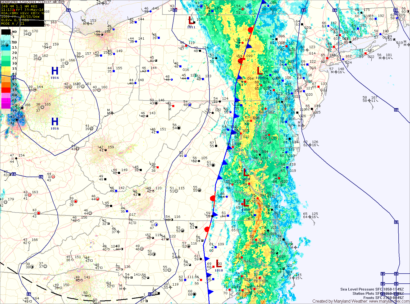
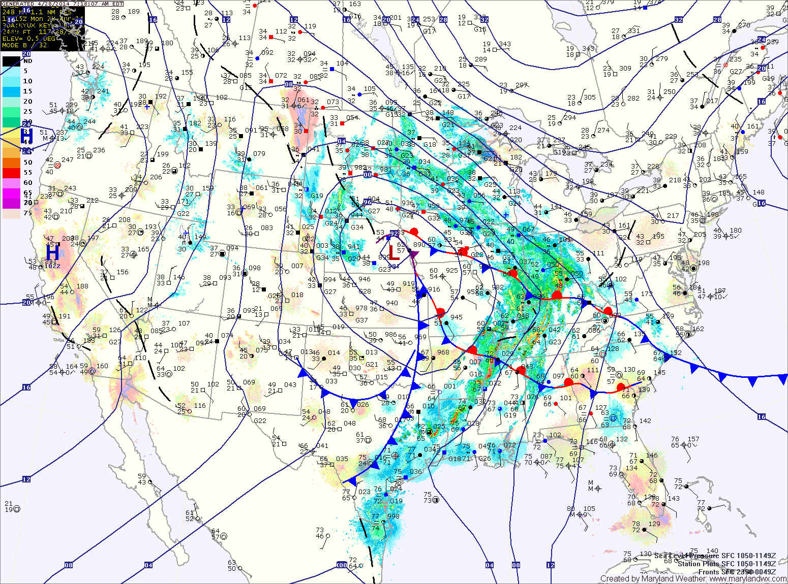
More showers and storms today; Cold front passes tomorrow night

Current Surface Map
Current Surface Map
A FLASH FLOOD WATCH is in effect for most of central and western Maryland.


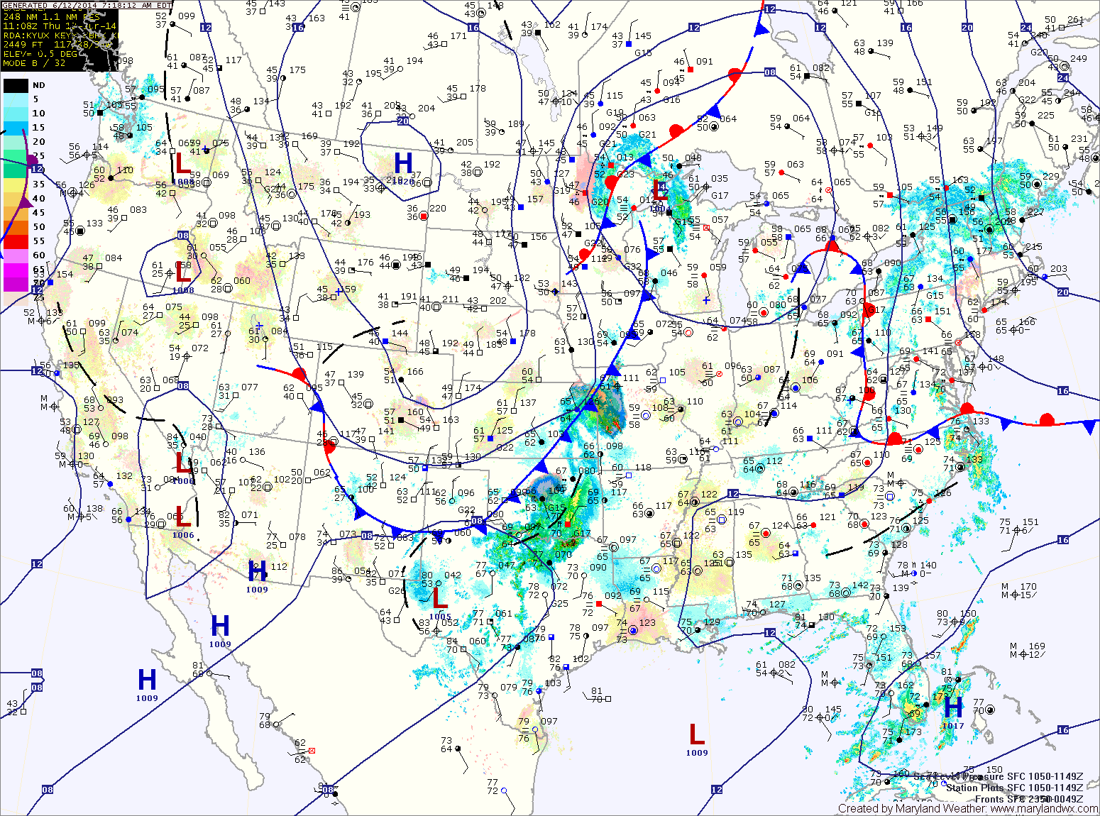
With warm and humid air still in place, expect another round of showers and thunderstorms today. The storms will have ample moisture and localized flash flooding is possible this afternoon and evening. Highs will be in the low to mid 80s.

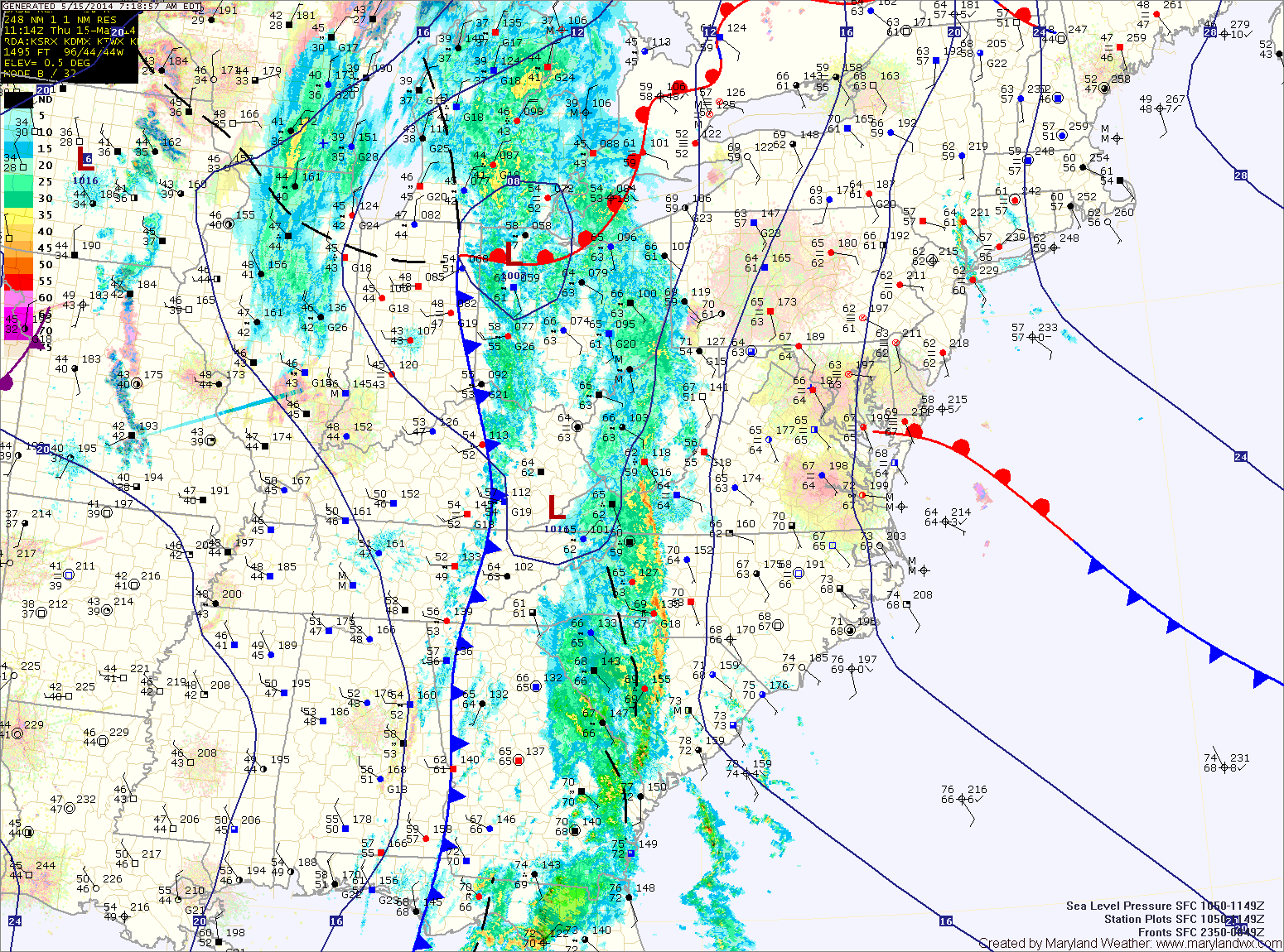
The storm threat will decrease tonight, but scattered showers and isolated storms are still possible through the overnight.

A cold front will approach tomorrow, firing up another round of showers and storms. Once again, these storms will be capable of producing locally heavy rainfall leading to flash flooding. Highs will be in the mid 80s.

Rain this morning, ending west to east

Current Surface Map
Current Surface Map
A FLASH FLOOD WATCH remains in effect for most counties west of the bay.


A cold front with copious amounts of tropical moisture is pressing through the state this morning. Ahead of and along the front, heavy rain is occurring. The front will continue to push eastward over the next few hours, ending the rainfall from west to east.

Generally, 1-4″ of rain has fallen west of the bay, leading to areas of flooding. Highs this afternoon will be in the upper 60s.

A secondary front will pass through late this evening, bringing another chance of showers as it does.

Cold front approaches today, brings heavy rain tonight into tomorrow

Current Surface Map
Current Surface Map
A FLASH FLOOD WATCH is in effect for counties west of the bay, excluding St. Mary’s and Calvert.


A cold front with ample moisture is slowly moving towards the region today. Ahead of the front, easterly flow has continued, resulting in fog and misty conditions.

As the front approaches, the flow should shift to a more southerly direction and intensify, scouring out the low level moisture. Expect this to occur this afternoon, resulting in breaks in the cloud cover and breezy conditions.

The front will be close enough late this afternoon to trigger scattered showers and thunderstorms before the more widespread rainfall moves in this evening. Highs today will be in the low to mid 70s.

Rain continues today and tonight, heavy at times

Current Surface Map
Current Surface Map
A FLASH FLOOD WATCH remains in effect for all counties west of the bay, except Garrett as well as Kent county.

A FLOOD WARNING is in effect for portions of Anne Arundel, Baltimore, Howard, Montgomery, and Prince George’s counties.

A COASTAL FLOOD WARNING is in effect for Anne Arundel, Baltimore, Calvert, Prince George’s and St. Mary’s counties.

A COASTAL FLOOD ADVISORY is in effect for Caroline, Dorchester, Queen Annes, Somerset, Talbot and Wicomico counties.


As the area of low pressure that has been slowly moving through the center of the country continues its slow journey northeastward, expect more rainfall and thunderstorms across the area today. The rain will be heavy at times as moisture from the Gulf of Mexico and the Atlantic enhance the rainfall.

The rain will continue through tonight. Thunderstorms will also be possible tonight, especially across southern Maryland. Expect a total 1-2″ of rain today and an additional 1-2″ tonight. Highs today will be in the mid 60s.

A cold front will cross the area tomorrow morning, slowly bringing an end to the rain. Expect partial clearing during the afternoon and highs in the low 70s.

Rain moves back in today, heavy at times through tomorrow

Current Surface Map
Current Surface Map
A FLASH FLOOD WATCH is in effect this evening through tomorrow night for all counties west of the bay, except Garrett.


A large area of low pressure continues to slowly move through the middle of the country. The low has been responsible for the severe weather and tornadoes across the deep south and will spread another round of rainfall into our area today.

Rain is moving back into the state from west to east. Expect rain to overspread the entire state over the next few hours. The rain will continue through the day. It will also be breezy with highs in the low 50s.

Unsettled week ahead, rain likely through Thursday

Current Surface Map
Current Surface Map
A large area of low pressure over the center of the country will slowly move eastward this week causing breezy conditions as well as bringing several inches of rainfall to the area.

Today will feature increasing clouds with the first round of showers moving in late this afternoon or evening. Highs will be in the low to mid 60s.

Showers will continue tonight and tomorrow, with the rainfall becoming steadier tomorrow afternoon. It will also be breezy, with highs in the low to mid 50s.

Rain will continue tomorrow night and Wednesday, heavy at times. Isolated thunderstorms are also possible Wednesday afternoon. Highs on Wednesday will be in the mid to upper 60s.

Increasing clouds today, showers develop tonight through tomorrow

Current Surface Map
Current Surface Map
Clouds will increase today in advance of a cold front moving in from the west. It will also be windy, with highs around 80.

The front will move closer tonight, spreading showers into the area after sunset.

Showers will continue tomorrow with locally heavy rainfall possible. Thunder and gusty winds cannot be ruled out, especially tomorrow afternoon. Highs will be in the upper 60s before temperatures begin to fall during the late afternoon.

The rain will continue tomorrow night and as colder air moves in, it may end as a brief period of snow, especially north and west of the cities. No accumulation is expected. Lows will reach the low 30s.

Mostly sunny today; Showers likely tomorrow

Current Surface Map
Current Surface Map
High pressure moving off the south east coast will provide another sunny and warm day today. Highs will be around 70.

A cold front will approach from the west tomorrow. At the same time, an area of low pressure is expected to develop along the front. These two features will spread showers into the area late tomorrow morning into tomorrow afternoon.

Rain chances will increase tomorrow evening, into tomorrow night as the area of low pressure moves through. Highs tomorrow will be in the upper 60s to around 70.

The system will clear the area early Saturday morning and skies will clear by afternoon. Highs will be in the low 70s.

Rainy weekend on tap; Nice start to next week

Current Surface Map
Current Surface Map
A cold front to our west is spreading showers into the area this morning. The showers will increase in coverage this afternoon and last into tonight. Highs today will likely reach the upper 50s to lower 60s.

As the front moves overhead tonight, it will likely stall out. At the same time, another area of low pressure will develop to along the front and spread another round of rainfall into the area this weekend.

Expect periods of rain tomorrow. The rain could be heavy at times, especially tomorrow afternoon and into tomorrow night. Highs will be in the low 50s.

Showers and possibly a thunderstorm this morning; Cooler and dry this weekend

Current Surface Map
Current Surface Map
A cold front is approaching from the west while a warm front is to the south, trying to move northward. Temperatures across lower southern Maryland and the lower eastern shore have already pushed into the low 60s while areas to the north and west remain in the upper 30s to low 40s.

The warm front should make some more progress northward before the cold front arrives. Expect temperatures to reach the low to mid 50s in central Maryland, mid to upper 40s north and west.

Showers will arrive in the area over the next hour or so. A thunderstorm is also possible this morning as the front moves closer. Expect isolated heavy rainfall and gusty winds in any storms that develop.

The front should cross the entire state by early afternoon, gradually bringing an end to the rain threat.