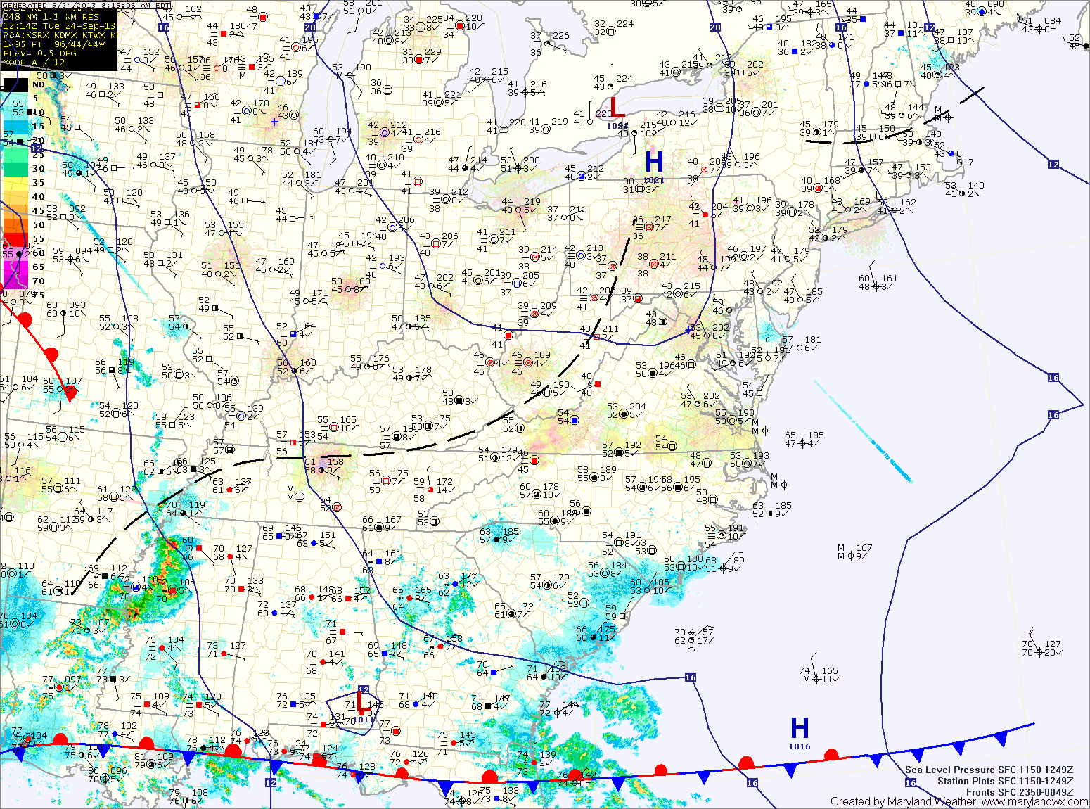
Partly Sunny Today; Chance of Showers Tonight and Tomorrow
We will be between high pressure to the east and a cold front to the west today. Expect partly sunny skies and highs in the mid 60s. Showers ahead of…

Tomorrow and Wednesday will feature a mix of clouds and sun with progressively warmer temperatures. Expect highs in the mid 50s tomorrow, warming to the mid 60s on Wednesday.
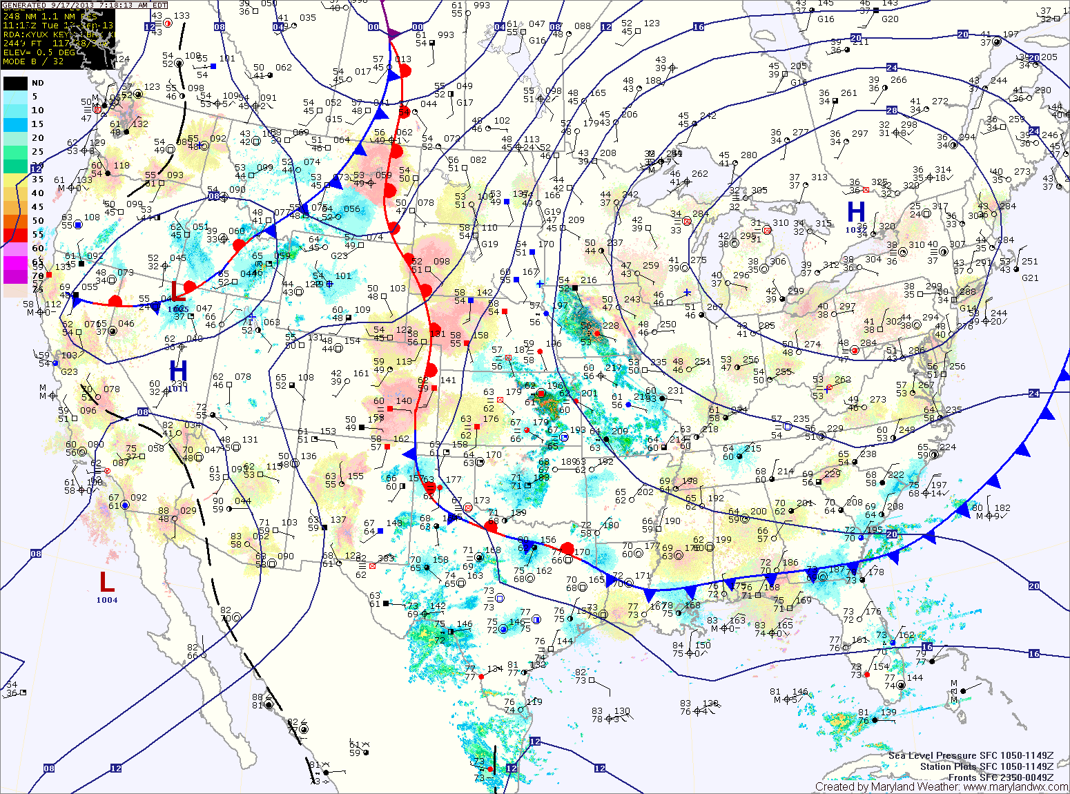
A cold front will approach and move through on Thursday. Showers are likely with this frontal passage starting late Wednesday night and lasting through the day Thursday. Highs will be near 70 degrees.
Tomorrow will be very similar to today. Mostly sunny, breezy and cool with highs in the low to mid 50s.
Lows tomorrow night will again be near freezing along and east of I-95 and below freezing to the west.
High pressure builds in tomorrow, leading to a sunny and cooler day. Highs will be in the mid to upper 60s.
Saturday will start out partly sunny, but a weak cold front will move through during the evening and will touch off another round of scattered showers during the late afternoon. Highs will be in the upper 60s.
The rain will overspread the entire state tonight and become steady. The rain will continue tomorrow and highs will remain in the low 60s.
Expect the rain to begin to lighten as we move into tomorrow night and Friday. Although the rain will decrease in intensity, showers are expected to continue through Friday and into Friday night. Rainfall totals of 1-4″ are likely, with the highest amounts along the coast and lowest amounts in the mountains.
Tomorrow will be a few degrees warmer and also feature more high clouds as we move into the afternoon. Highs will be in the mid 70s.
A weak disturbance will move by on Wednesday night, bringing nothing more than clouds as it does.
High pressure builds back in on Thursday with decreasing clouds. Highs will be in the mid 70s.
A clear and cool night tonight will be followed by another sunny day tomorrow. Highs will be in the low 70s.
The high pressure center begins to move off the coast by Thursday, turning the flow more southerly. This will cause temperatures to warm into the upper 70s under mostly sunny skies.
The southerly flow will continue to draw warmer air into the region on Friday. Expect highs to reach the low 80s under mostly sunny skies.
An area of low pressure moving along the front will keep clouds over the area and bring showers to the lower eastern shore today into tomorrow.
Clouds will decrease during the day tomorrow as the coastal low moves away from the area. Highs will push back into the mid 80s.
Another cold front will move towards the area on Saturday and southerly flow will develop ahead of it. This will bring a return to warmer and more humid conditions. Scattered afternoon showers and thunderstorms will be possible. Highs will be in the mid to upper 80s.
The rain is mainly along and east of I-95 at this time, but will work its way westward during the day. Highs will struggle into the upper 50s.
Onshore flow with damp conditions and light rain chances will persist tomorrow and Wednesday.
The rainfall is expected to be lighter than today, but will still be in the forecast into Wednesday night. Highs both days will be in the low to mid 60s.