One More Cool and Damp Day; Warmer Tomorrow & This Weekend
Low pressure remains over the Carolinas while high pressure remains to the north. The low will move out tomorrow as a cold front approaches from the west. TODAY: Much like…

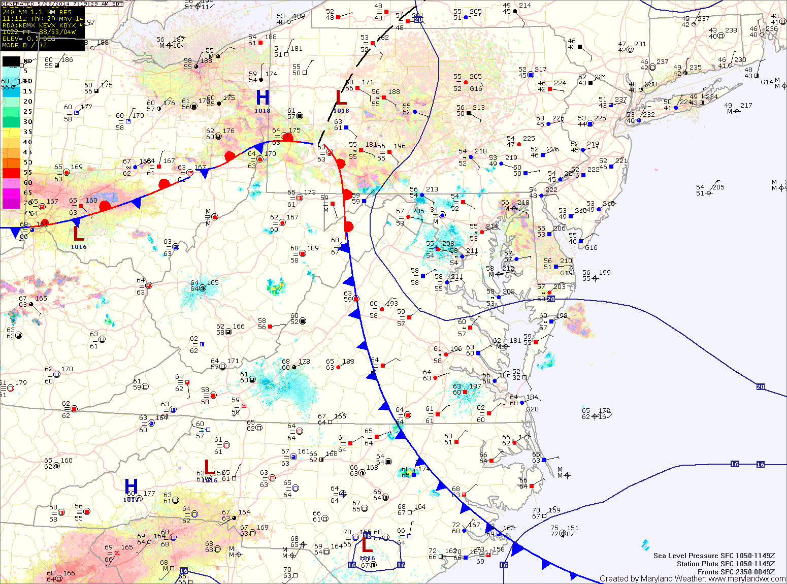
Areas of fog will develop tonight as the easterly flow continues.
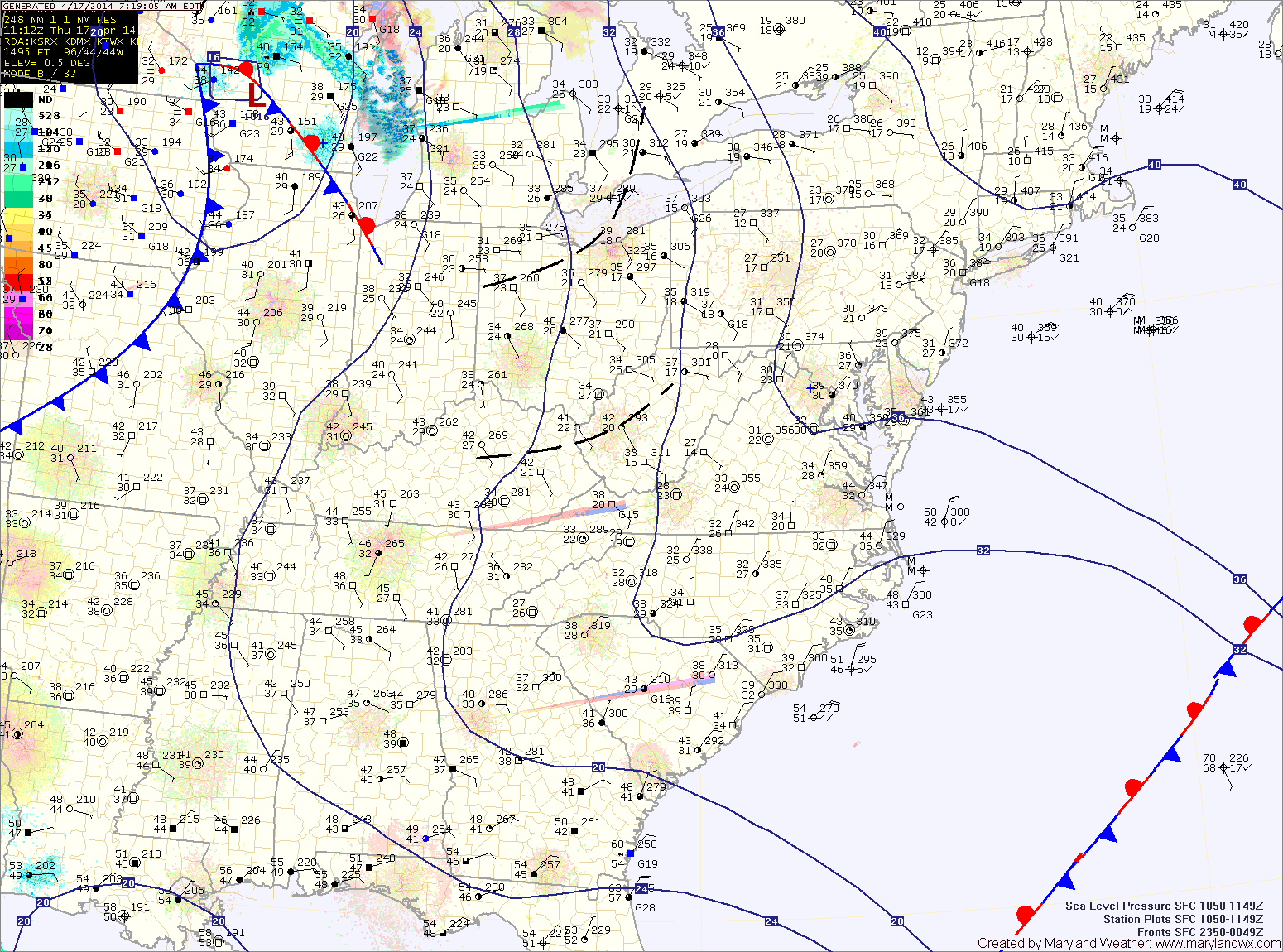
As we head into tomorrow, high pressure will begin to build in from the northwest. This will scour out the moisture and turn the flow to a more northerly direction. As a result, expect morning clouds to break allowing some afternoon sunshine. There is a slight chance of a shower during the late afternoon, but most areas will remain dry. Highs will be in the low to mid 70s.
Tomorrow will be a cloudy day but warmer, with highs in the upper 50s to around 60.
An area of low pressure may approach from the south on Saturday, but at this time, it appears it will slide off the coast before impacting the area with anything more than clouds. Highs will be in the mid 60s.
Sunday will be mostly sunny with highs in the mid 60s.
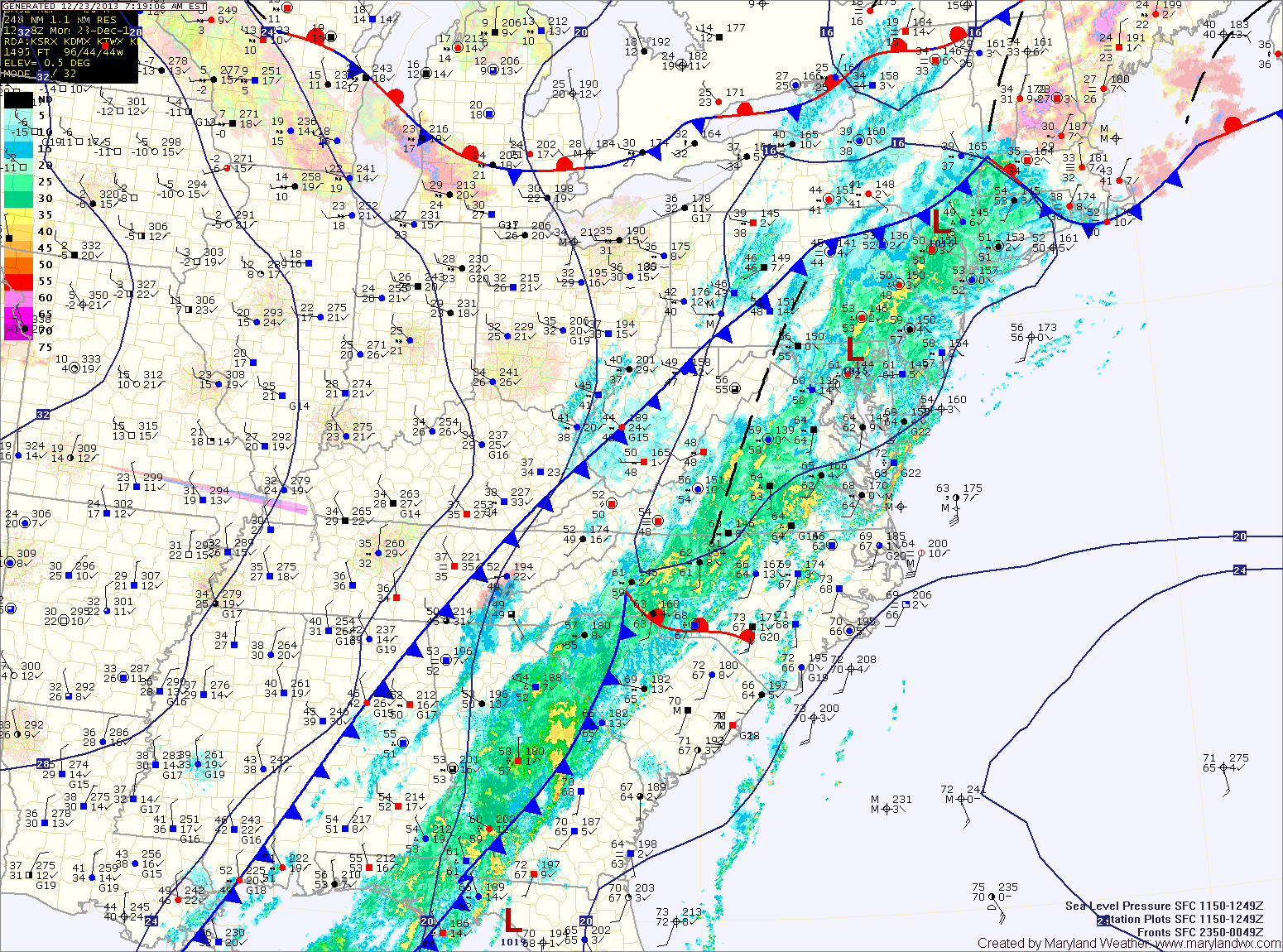
The front clears the area tonight, bringing an end to the rain and allowing colder air to filter in. Meanwhile, a potent upper level system will swing through tomorrow bringing the possibility of snow squalls during the afternoon, mainly across the mountains. Brief isolated snow showers could make it into Central Maryland, with little to no accumulation expected. Temperatures will be above freezing (mid to upper 30s) so any accumulation will quickly melt.