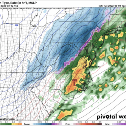
A potent cold front and developing low pressure will make for an active weather day across the state on Saturday.
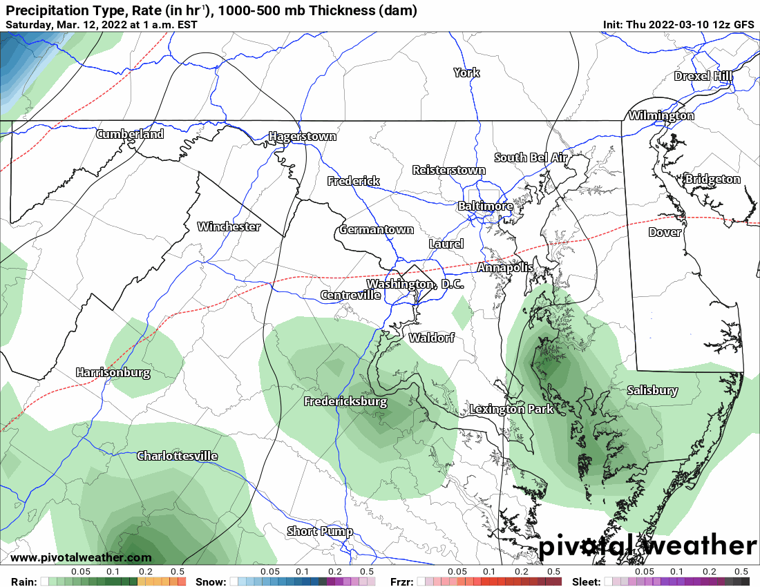
Expect rain, moderate to possibly heavy at times to move in during the early morning hours on Saturday, and as cold air rushes in on gusty northwest winds, change over to snow before ending during the afternoon and evening hours.
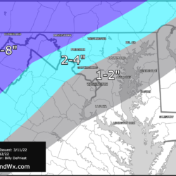
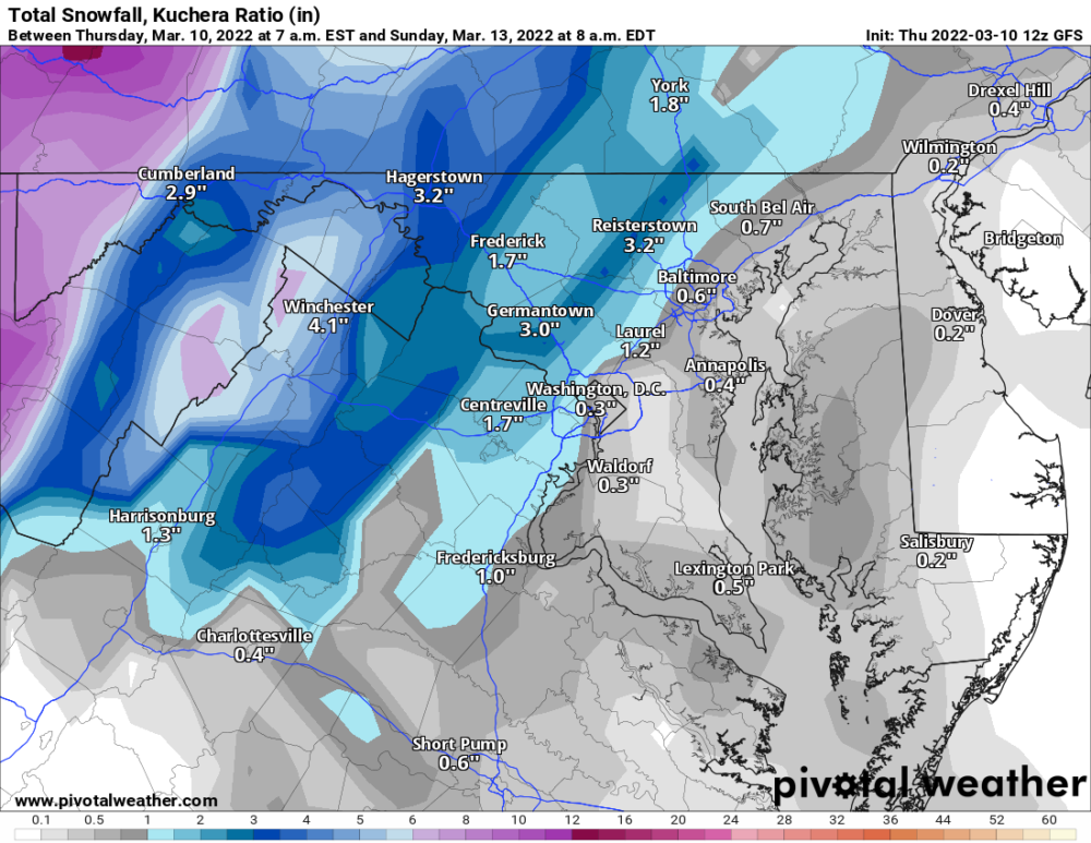
For far western Maryland, the transition will occur much quicker, and heavy snow is likely. With northwest winds gusting to near 60 mph, blizzard conditions will be possible. For this reason, the NWS has issued a Winter Storm Watch for Garrett and western Allegany counties, where 6-12″ of snow is possible.
Further east, accumulating snow is less likely, but still possible, especially along and west of the Blue Ridge. East of the Blue Ridge, the rain may end as snow, but accumulation is unlikely and would be limited to elevated and grassy surfaces.
Behind the system, temperatures will drop well below freezing and winds will continue to gust to near 50 mph Saturday night before gradually subsiding as we head into Sunday morning.