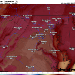
After record warmth to start the week, we transition back to winter tomorrow with a storm system poised to bring mostly cold rain to our area, but some wet snow will likely mix in at times, mostly across northern parts of the state.
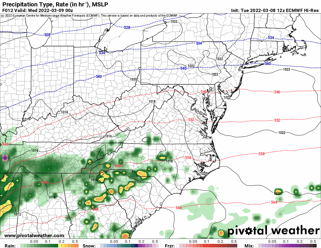
As seen above on this afternoon’s European model output, a wintry mix and wet snow is likely to mix in with the rainfall across northern portions of the state. Any accumulation will be minimal, and confined to elevated or grassy surfaces.
Another more potent system will impact our area this weekend, with more rainfall, possibly ending as a period of snow on Saturday.
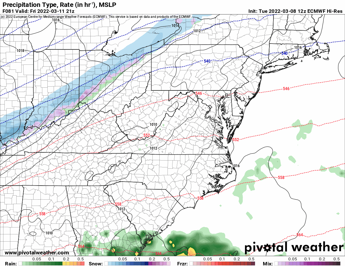
The European model depicts a strong cold front and developing low pressure that will combine to bring moderate rainfall, changing over to snow during the day Saturday. Generally, a rain to snow scenario, with limited cold air severely limits any possible accumulation. Add in the fact that it will be near mid-March makes any significant accumulation unlikely. Nonetheless, it is something to watch, and details will come into better focus in the coming days.