Summary:
- Models continue to develop a strong storm just off the east coast, spreading snowfall westward along the east coast
- Guidance coming into agreement that storm will develop farther east – delivering a glancing blow to our area
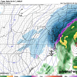
After several days of swings in the various model solutions, we seem to be coming to agreement on the general track and evolution of the system. Shortwave energy diving out of Canada will combine with energy out of the south west and form a strong coastal storm Friday into Saturday. This interaction and development looks like it will occur too late to bring widespread heavy snowfall to our state. Further north of our area, heavy snowfall is more likely as the storm deepens and swings east of New England.
At this point, the most likely scenario is that most of the state sees light to perhaps moderate snow Friday afternoon into Friday night as the northern energy swings through the area. An additional period of heavy snow is possible over the Eastern Shore and along the coast Saturday morning as the coastal system develops and strengthens.
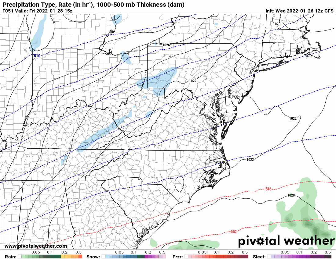
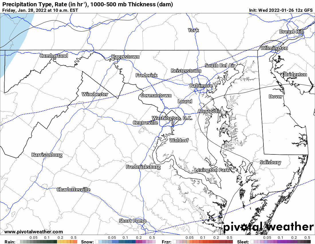
Here is a regional and local view of today’s 12z GFS model output, showing the possible evolution and timing of the system, from 10AM Friday to 7PM Saturday:
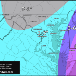
Here is the resultant snow totals:
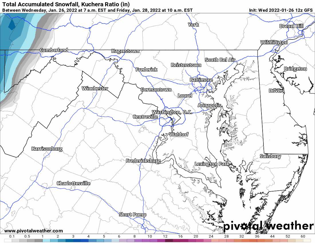
As you can see, most of the state still sees *some* snow, mostly with the northern stream energy, but the “plowable” snow looks likely to be confined to eastern parts of the state.
What could change?
Very simply, this is where things stand today. If the models begin to show a more western track, the heavier snowfall would also shift westward. If they continue to shift further eastward, snowfall amounts will be lighter, especially across the Eastern Shore.
I will have an update tomorrow, including my initial snowfall forecast. Stay tuned!