Summary:
- Complicated setup and timing of interactions between multiple pieces of energy will ultimately determine outcome
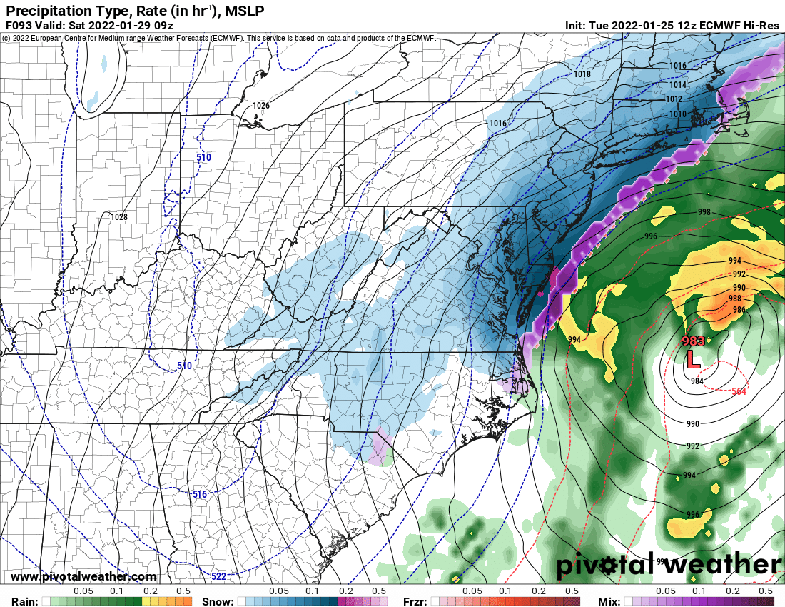
- Models continue to show a strong storm just off the east coast, with no convergence on specific path yet
- Odds for a major snowstorm for most of the state remain low at this time, but latest model trends bring the storm track closer to the coast with a greater impact to our area, especially areas east of I-95 and the Eastern Shore
Current Model Scorecard:
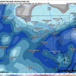
Here are the latest general outcomes from the 4 main models (GFS, European, NAM, Canadian). At this time, all models show the highest amounts of snow east of the bay, with lesser amounts as you move west.
I will update this scorecard daily until details become clearer.
Note: the event is not within the timeframe of the NAM yet.
| Model | No Snow | Light Snow | Moderate Snow | Heavy Snow |
|---|---|---|---|---|
| GFS (12z) | X | X | ||
| European (12z) | X | X | ||
| NAM (12z) | N/A | |||
| Canadian (12z) | X | X |
Timing:
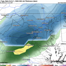
Here is a clip from this afternoon’s European run, showing the potential snowfall in our state Friday afternoon through Saturday afternoon.

What’s Next:
The model scorecard on the front page of this site will continue to be updated, and a more detailed forecast will be posted as specifics come into focus over the next few days.