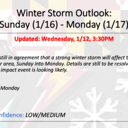
Summary:
We continue to track a developing winter storm threat that will affect our area Sunday afternoon into Monday morning. Confidence is increasing that low pressure will develop over the deep south and turn up the coast, spreading snow into our area during the afternoon hours on Sunday. At this time, it looks like the storm track will be inland, which will bring warmer air into eastern and central parts of the state, changing snowfall over to a wintry mix and rain. Details, including expected snow totals will begin to come into focus tomorrow.
Timing:
Sunday afternoon into Monday morning
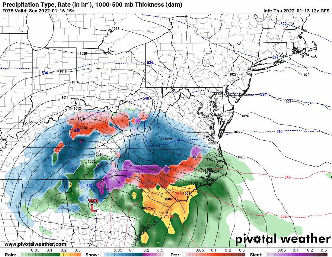
Model Depiction:
Impacts:
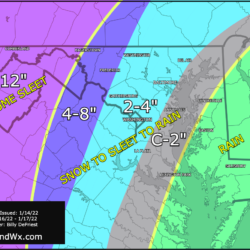
Significant travel impacts are likely Sunday evening through Monday morning, especially for western parts of the state where more snow is expected.
Heavy rainfall is possible over the Delmarva, and could lead to isolated flooding
Gusty winds could cause isolated power outages and coastal flooding