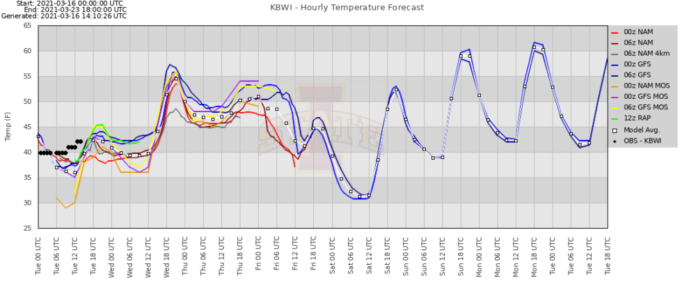
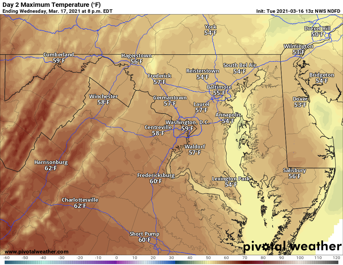
Weak low pressure will continue to push through our area today, keeping us cool and cloudy, with an occasional sprinkle possible. We will warm a little tomorrow, with highs in the mid 50s, but the cloud cover will stick around as another, stronger system moves our way.
Rainfall will overspread the state early Thursday morning. A widespread steady rainfall is expected as the system moves through, with the rain tapering off and ending – possibly mixed with some wet snow during the day Friday.
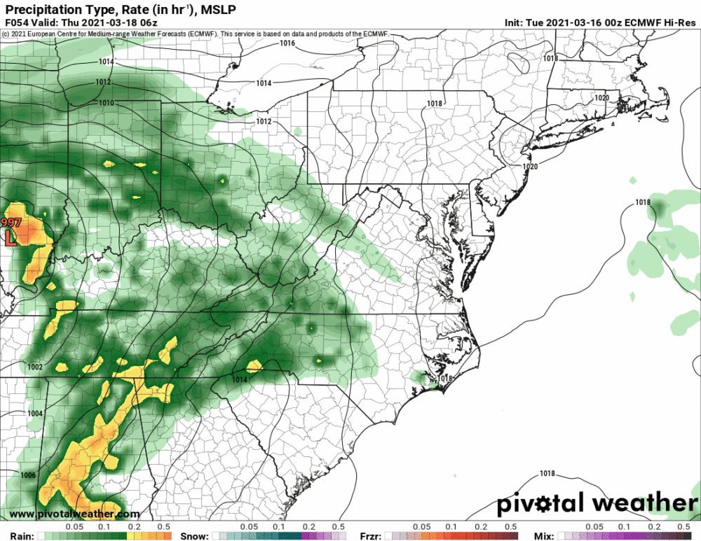
When all is said and done, a solid 1 to perhaps 2″ of rain is likely across the state:

High pressure will move in behind the system Friday evening into Friday night, bringing colder air. Lows Friday night will drop into the 20s and 30s, followed by highs on Saturday in the upper 40s to around 50. As the high slides off the coast, temperatures will begin to warm Sunday to near normal (around 60), and continue to warm into next week.