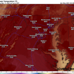
After a very mild and dry week, culminating with record highs yesterday, a cold front is currently moving through the state, bringing clouds, a few sprinkles, and by this evening, a much cooler airmass on breezy northwest winds. Temperatures will return to near normal this weekend, and will be slightly below normal to start next week.
After overnight lows in the mid to upper 30s tonight, temps will rise to the low to mid 50s tomorrow under sunny skies.
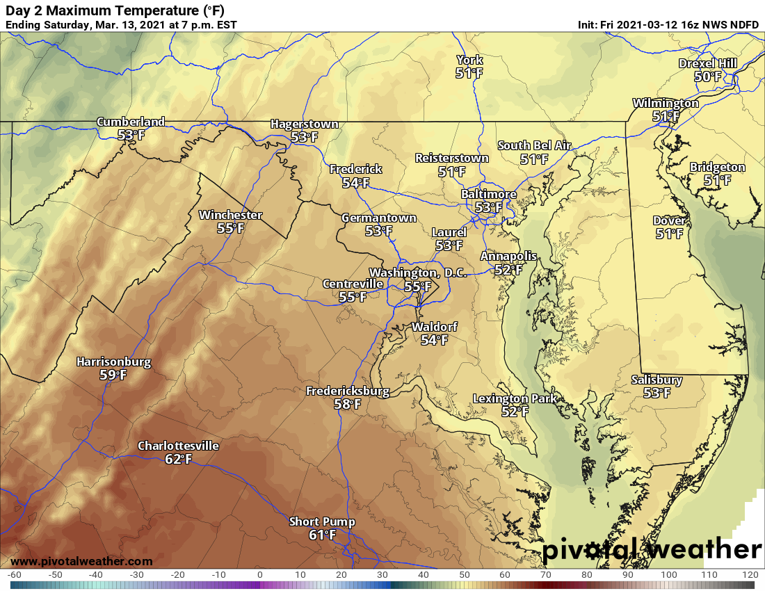
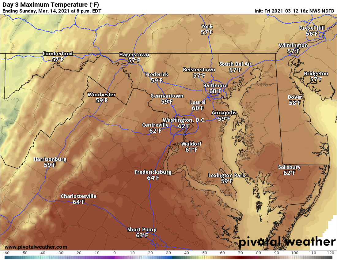
Expect another cold night tomorrow night, with lows dropping into the low to mid 30s. Another sunny day is expected on Sunday, with highs a few degrees warmer than Saturday, pushing into the upper 50s to low 60s.
Temperatures will fall once again Sunday night, dropping into the upper 20s to low 30s as reinforcing cold air moves in. Monday will be chilly, but dry, with highs in the mid to upper 40s. A storm system will approach and may bring some rain or rain/snow mix to parts of the state Monday night into Tuesday.
After a warmer and dry Wednesday, another system will likely bring another chance of rain on Thursday.