Our stretch of dry weather continues this week, as we begin the advertised warm up. Today will be the coolest day, with highs generally in the low to mid 50s.
We add about 10-15 degrees to our highs tomorrow, with mid to upper 60s expected in most areas under mostly sunny skies:

Temps continue on the upward trend Wednesday, Thursday, and Friday, with highs likely exceeding 70 in many spots each day:


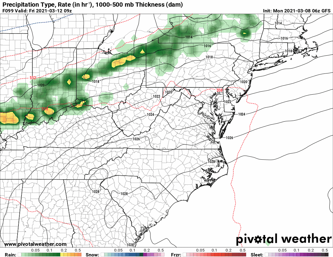
While Wednesday and Thursday will remain mostly sunny, a weak cold front is expected to cross the area during the day Friday, bringing us a chance of showers as it does. After passing, the front looks to stall out just to our south, keeping rain chances in the forecast, and lower temperatures both Saturday and Sunday.

I hope you can get a chance to enjoy this warmer weather before we turn cooler and unsettled next weekend.