It’s pretty rare these days to see a stretch of dry weather like we are entering now with no meaningful precipitation expected over the next week. The sunshine and prolonged dry stretch should certainly help out with waterlogged and muddy soils that linger after the snow melt and recent rainfall.
The NWS Forecast through Saturday is noticeably void of clouds and precipitation chances:
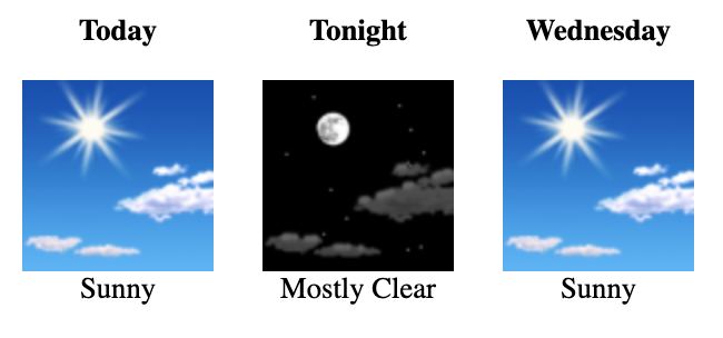
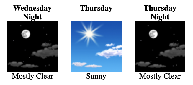
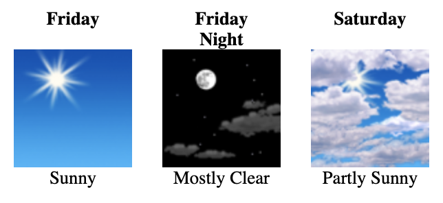
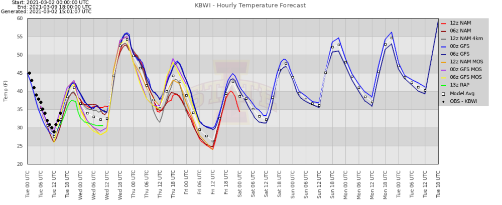
Along with mostly sunny skies through the weekend, expect slightly below normal temps, as a few reinforcing shots of Canadian high pressure build in. But as we head into next week, high pressure is expected to slide offshore, pulling in more southerly flow, which should commence a warming trend as seen on the model forecasts below: