
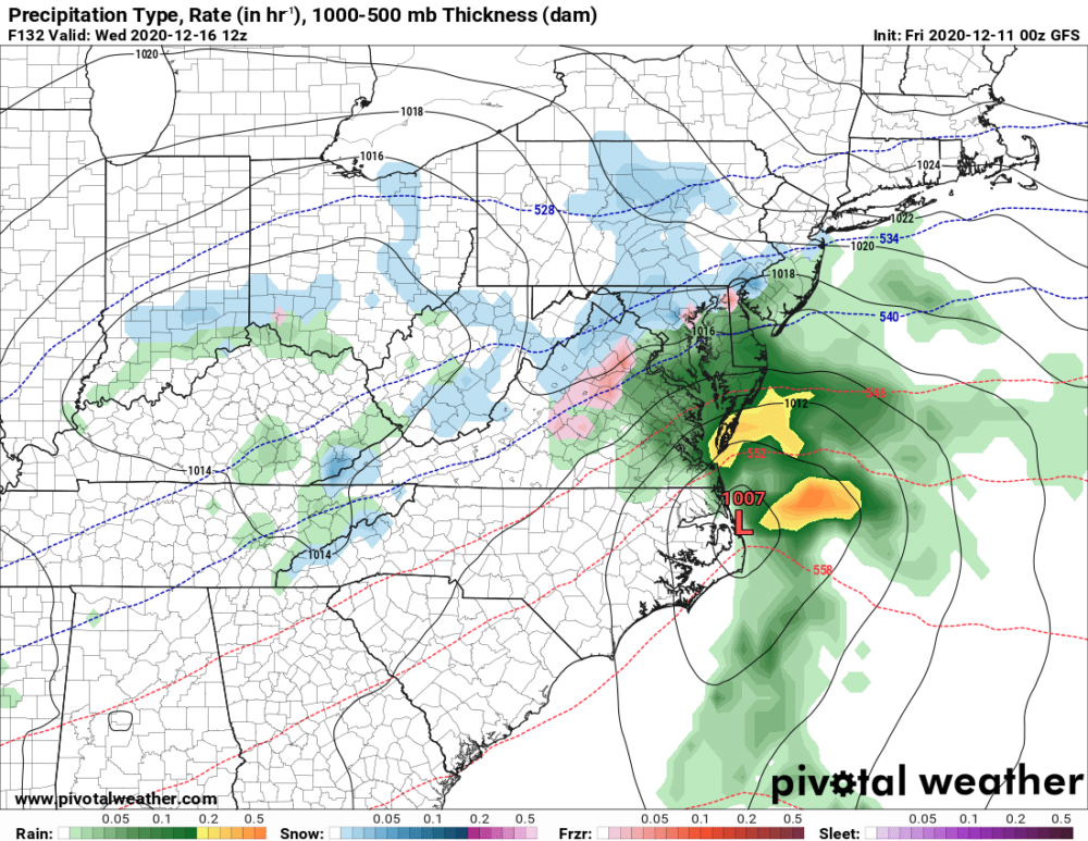
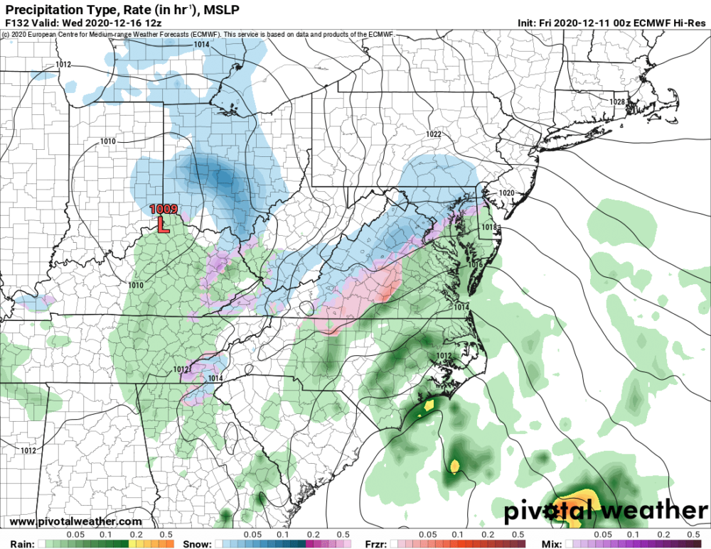
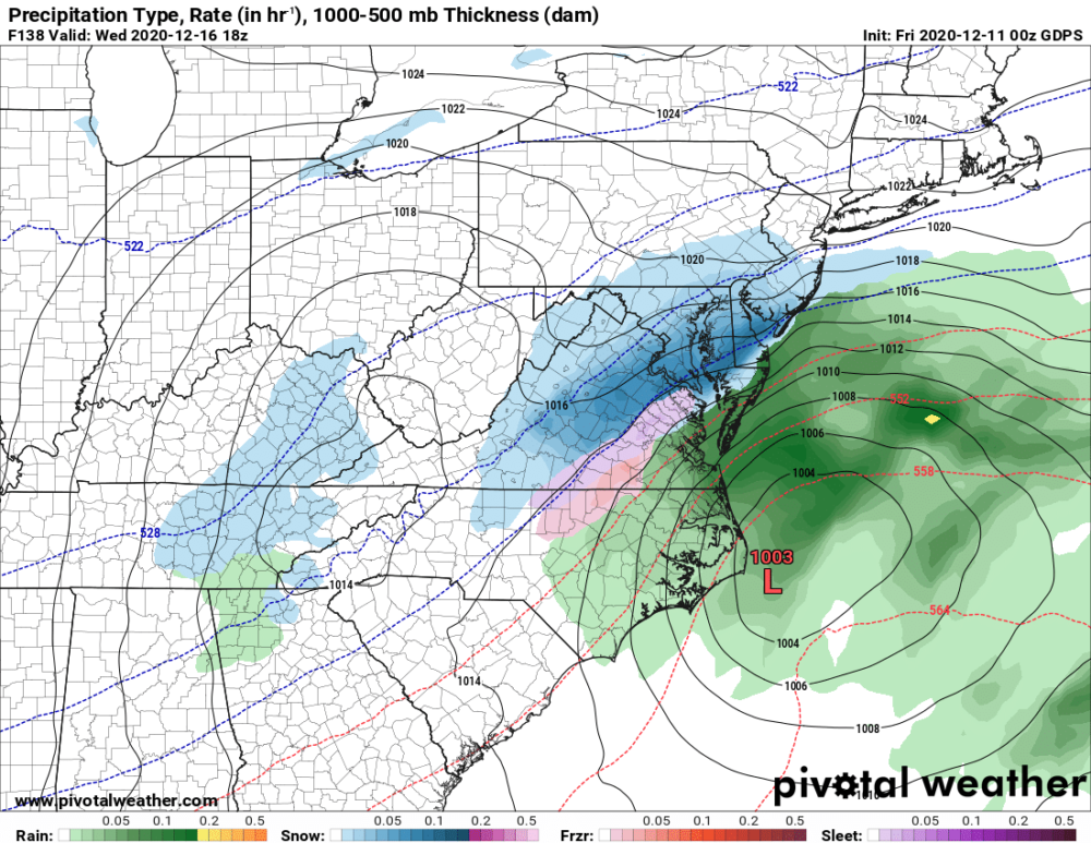
I posted a quick update to Facebook yesterday, mentioning that next week was starting to look interesting, weather-wise. Well, the global models from last night continue to show an interesting solution (and fairly good agreement) that an area of low pressure could bring wintry weather to our area next Wednesday. It is pretty far out, so details are still to be worked out, but there’s a pretty decent chance that at least parts of our state will see some wintry weather.
GFS Model – 7AM Wednesday:
European Model – 7AM Wednesday:
Canadian Model – 1PM Wednesday:
For now, just be aware that wintry weather may occur next Wednesday and stay tuned as the details come into focus over the coming days.