
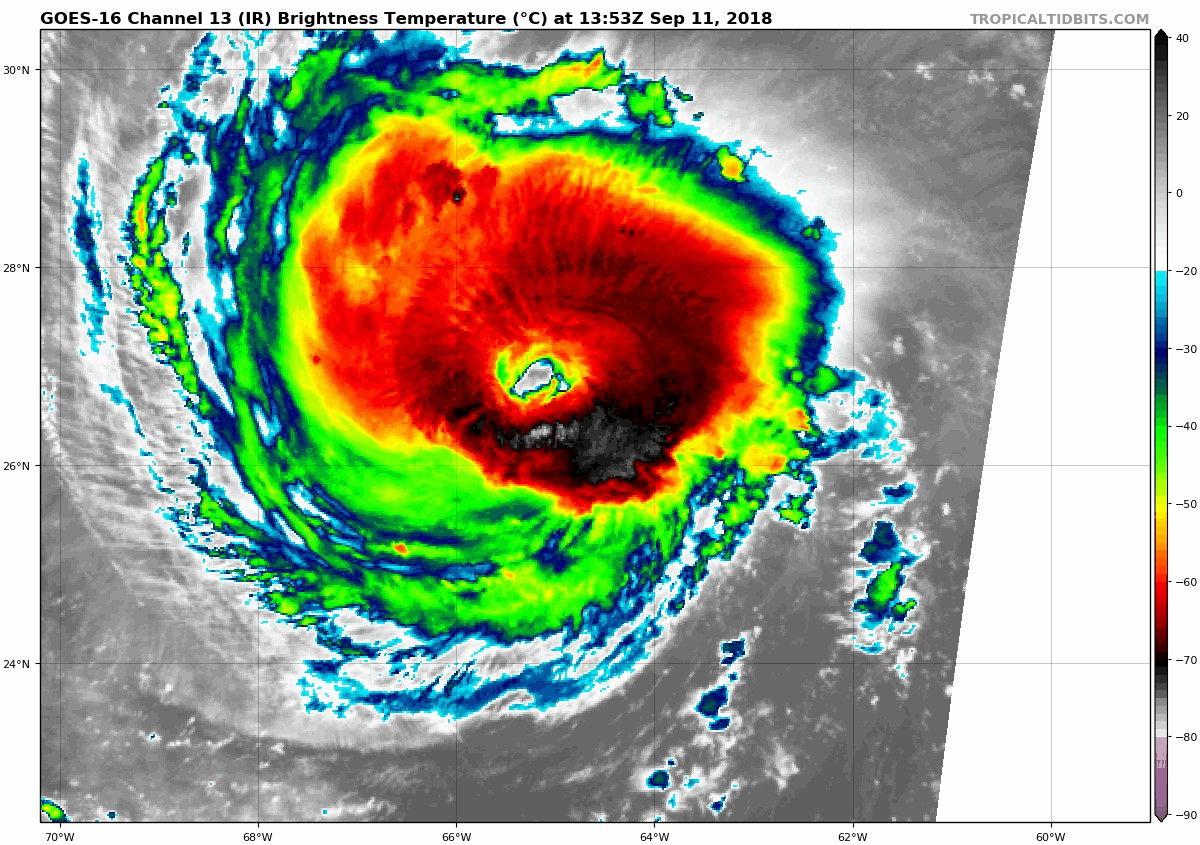
Hurricane Florence continues to be a very powerful Category 4 hurricane. Maximum sustained winds are 130 mph. Hurricane force winds extend outward up to 40 miles from the center, while tropical storm force winds extend outward up to 150 miles from the center. The storm is expected to maintain major hurricane strength through landfall on Friday.
A few things seem nearly certain:
– It will continue moving west-northwestward towards the Carolina coast
– It will make landfall early Friday morning as a major hurricane
– It will slow down and bring very heavy, potentially historic, rainfall to most of North Carolina and Virginia
– Storm surge will be a major issue for most of the Carolina and Virginia coastlines
A few things that are still unknown:
– The exact track and eventual landfall point
– The movement of the storm after landfall – direction and speed
A lack of clear steering currents in the atmosphere combined with blocking high pressure to the north are making Florence’s ultimate path very hard to discern at this point. It may stall out over North Carolina, confining the heavy rain to mostly the Carolinas and Virginia. It may continue to slowly move westward and dissipate over western North Carolina and Kentucky. It may slowly drift northward, bringing heavy rainfall closer to our area. At this point, it looks like Maryland will escape the historic flooding threat, but remnant rains are likely this weekend into early next week as the system eventually gets picked up and moved northeastward.
More updates to come as the details come into better focus.
Want the latest blog posts emailed to you?