Hurricane Sandy continues to be the focus of attention as we head into the weekend. Consensus is building that the storm will combine with the cold front to our west to have a significant impact on our area.
*The Setup*
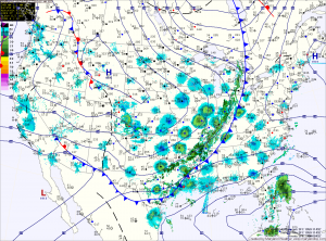
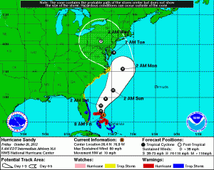
The high pressure to our northeast will block and even steer Sandy towards the coast early next week. Meanwhile, Sandy continues to slow and grow in size. This is important to remember when looking at the path outlined by the National Hurricane Center. Sandy will likely be a very large in size and will bring significant impacts to a very large portion of the east coast regardless of the exact path.
Sandy is currently over the northern Bahamas and moving northwestward. Maximum sustained winds are now 80mph. This general motion and strength are expected to continue today before Sandy makes a gradual turn back towards the northeast tomorrow. This is due to the front to our west that will eventually absorb the system. 
*Forecast*
Current forecasts indicate a landfall somewhere along the Mid-Atlantic coast with a trend towards the Delmarva late Monday or early Tuesday.
While there will be far reaching effects, the exact track is important for our area, as a landfall just to our south would put us on the northern/eastern side of the storm. This scenario would push wind and water up the Chesapeake Bay and cause flooding from storm surge. If the storm makes landfall further north, we would be on the southern/western side of the storm and the effects from surge would be minimal.
*Potential Impacts*
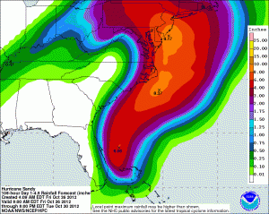
If current forecasts and trends hold, expect heavy rainfall, tropical storm force winds and potential coastal flooding Monday night and Tuesday as Sandy moves inland. Widespread and prolonged power outages are possible as well.

Sandy, or what is left of it will begin to wind down as it spins over the Northeast. As it does, showers and breezy conditions will continue Wednesday. The system will continue to push northward and away from the area on Thursday allowing for clearing as we head into next weekend. Highs will be in the low to mid 50s to end the week.
*Summary*
Hurricane Sandy will make landfall somewhere along the Mid-Atlantic coast and forecasts are trending that landfall towards our area. Prepare for heavy rain, strong winds and possible flooding Monday night and Tuesday.
Yesterday’s Weather Station Stats:
High Temp: 67.1°
Low Temp: 59.9°
Rain: 0.00″
