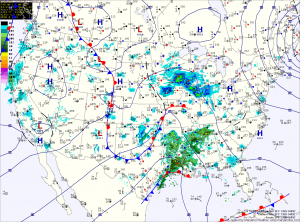
Rain Today; Light Rain/Snow Showers Tomorrow and Thursday

Current Surface Map
Current Surface Map
Low pressure will move into the area today, bringing rain to the state. Across far western Maryland, temperatures will remain cold enough for freezing rain and a Winter Storm Warning is in effect for Garrett and Allegany counties for significant icing.

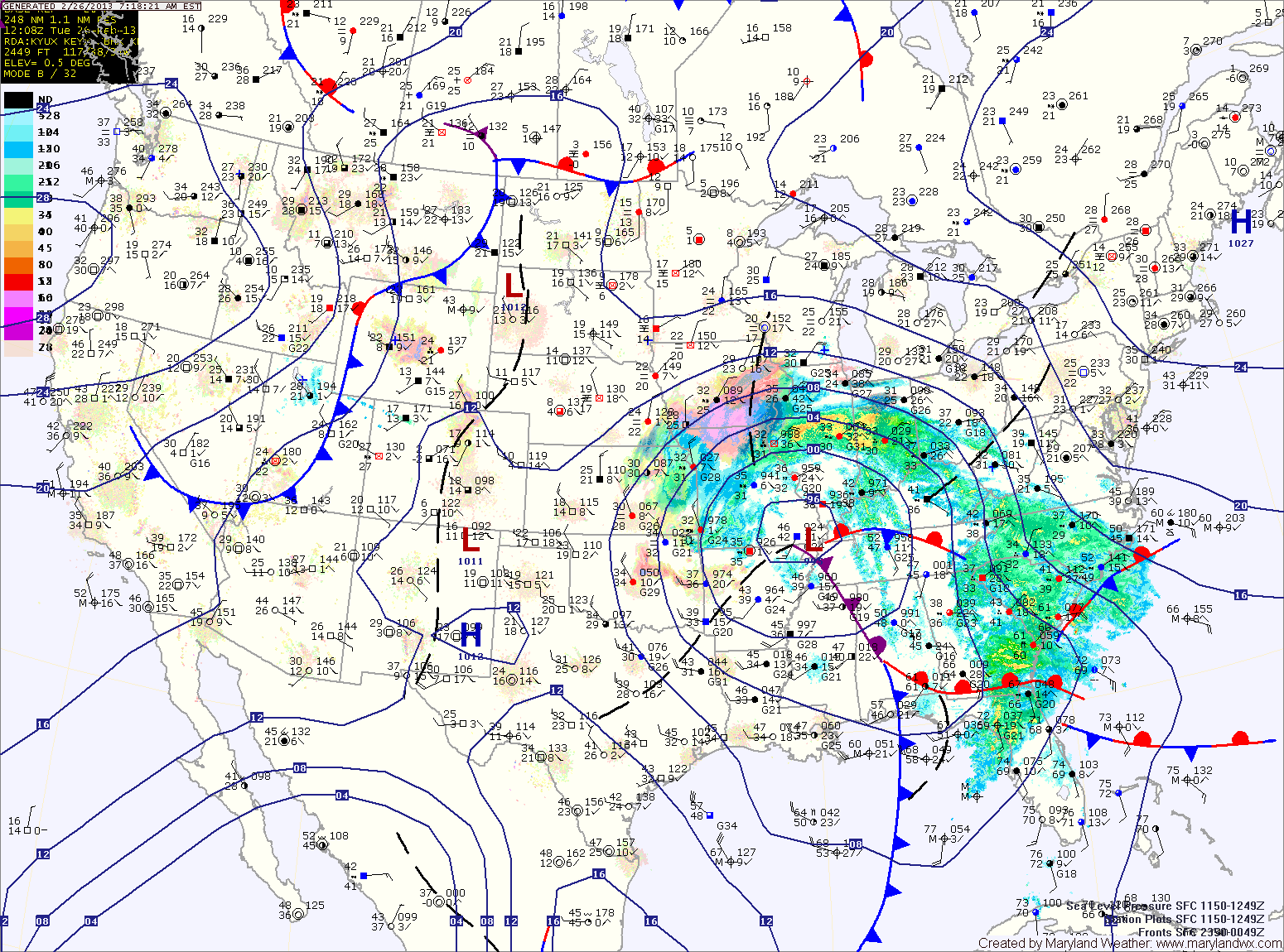
Further east, a Winter Weather Advisory is in effect for Washington county where a changeover to rain is expected this afternoon.

Even further east, expect rain to develop later this morning, possibly starting as a brief period of sleet. The rain will be steady through the day and into tonight.

A Flood Watch is in effect for the central part of the state, where around an inch of rainfall is expected.

Rain/Mix Moving into Area

Current Surface Map
Current Surface Map
Low pressure over the midwest is spreading light precipitation into the area this morning. The precip will likely start as a wintry mix, especially in the western parts of the state. A Winter Weather Advisory is in effect for Garrett and Allegany counties where a light glaze of ice is possible.

Elsewhere, the mix should change over to plain rain without any ice accumulations. Highs today will top out in the mid 30s, except in western Maryland where temperatures may remain below freezing through the event.

The light precipitation will continue into tonight, as rain, mixing with sleet at times everywhere except western Maryland. Additionally, a coastal low pressure is expected to form and move by tomorrow, increasing rainfall tomorrow. Highs tomorrow will be around 40 degrees.

Rain Today; Windy through Thursday

Current Surface Map
Current Surface Map
A cold front is moving towards the area and bringing a swath of rainfall with it. Rain, with isolated areas of freezing rain is currently falling across western Maryland where a Winter Weather Advisory is in effect until 11am. By that time, temperatures will be above freezing everywhere and just plain rain is expected.

The rain will continue to move eastward through the day, spreading into central Maryland by late morning. Highs today will be in the upper 40s.

Rain will continue to fall into this evening, as the front pushes through. Behind the front, winds will increase tonight, gusting to near 30mph.

Rain Today, Possibly Ending as Snow Tonight

Current Surface Map
Current Surface Map
An area of low pressure continues to develop into a powerful Nor’Easter off the Carolina coast. As it moves northeast, it will continue to spread rain, sleet and snow over our area and will bring heavy snow and blizzard conditions to New England.

A Winter Weather Advisory remains in effect for counties north and west of I-95. These areas will gradually transition to rain today as highs top out around 40 degrees.

As the storm moves northeast and phases with a secondary low currently over Ohio, it will strengthen rapidly and as it does, colder air will be pulled into our area, possibly changing the rain to snow before ending tonight.

Accumulations of up to an inch are possible, especially over northeast Maryland. Additionally, winds will increase tonight and will gust to near 40mph at times.

Light Snow Develops This Afternoon

Current Surface Map
Current Surface Map
A Winter Weather Advisory is in effect for all of Maryland, except for Garrett County, where a Winter Storm Warning is in effect.

A weak storm system will spread light snow over the state this afternoon from west to east. 4-6 inches of snow are expected over Garrett County, while 1-3 inches are expected within the Advisory areas.

There could be isolated higher amounts, especially across northern Maryland and Southern Maryland.

The snow will begin to wind down tonight, tapering to flurries and ending between 10pm and midnight.

Heavy Snow South

Current Surface Map
Current Surface Map
As mentioned yesterday, the low pressure that will bring snow to the area today and tonight will have a sharp dropoff of precipitation on the northern edge. As such, some areas will see flurries while others receive several inches of snow over a relatively short distance.

It appears that dividing line will setup across central Maryland today. Areas north of Baltimore will see little to no accumulation while in the counties to the south of the city, a Winter Weather Advisory is in effect for 1-3 inches of snow with the highest amounts the further south you go.

Light Snow Expected Tomorrow

Current Surface Map
Current Surface Map

A fast moving area of low pressure will bring light snow to the area tomorrow.

The low is currently over eastern Texas and it will quickly move by to our south during the day tomorrow before it strengthens and moves towards New England.

Expect light snow to develop during the pre-dawn hours tomorrow morning, mixing with or changing to rain in southern Maryland and the lower Eastern Shore.

The rain/snow line will approach the I-95 corridor by tomorrow afternoon and may push into the Baltimore/Washington metro areas.

Wintry Day on Tap

Current Surface Map
The Nor’Easter that was forecast to move up the coast will be close enough to the state to bring wintry precipitation, mainly across central and eastern Maryland.

The storm is currently situated off the Delmarva coast this morning. It will continue to strengthen as it moves north and will also continue to push light wintry precipitation into the state. Winds will increase today and into tomorrow, gusting to around 30mph.

Light precipitation has pushed into central Maryland where a light rain/snow/graupel mix is currently falling. Further south and east, light rain is falling.

The mix across central Maryland will eventually change to all snow later this afternoon and into this evening as colder air flows in from the north and evaporative cooling continues. The heaviest precip will fall late this afternoon and evening and the snow will taper off overnight.

Light snow today

Current weather map
A weak area of low pressure is currently moving across the Ohio Valley and will bring precipitation to the state today. Currently, it looks as though areas south and east of I-95 will start out as rain and transition to snow during the afternoon and evening. In this area, expect a slushy half inch or so, mainly on grassy surfaces.

To the north and west of I-95, the precip will be primarily snow. These areas are currently under a Winter Weather Advisory for 1-2 inches of snow. Far western Maryland and areas along the Mason-Dixon line may see a little more.

Winter Weather Advisory in effect

The entire state west of the Bay is under a Winter Weather Advisory for snow, sleet and freezing rain.

Garrett County is expected to see more accumulation of snow and ice, and is under a Winter Storm Warning.

Expect snow and sleet to develop after 10pm in most areas, changing to all sleet overnight.