Becoming sunny today; Warm end to the week

Current Surface Map
Current Surface Map
High pressure will build into the area today, pushing out last night’s clipper system and associated clouds. A general 1-2″ fell overnight, ending before dawn. Expect mostly sunny skies today with highs in the mid to upper 40s.

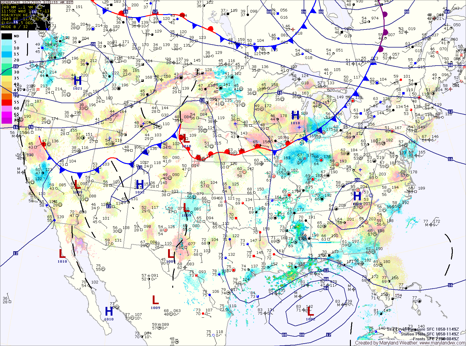
A weak cold front will touch off scattered showers tomorrow afternoon as highs cross the 50 degree mark, ending up in the low 50s.

As high pressure moves off the coast Thursday, southerly flow will bring a bit of moisture into the region, resulting in increased clouds. Highs will be in the low 50s.

A cold front will approach on Friday, strengthening southerly flow ahead of it. Expect highs to reach 60 despite clouds and rain showers through the day. An isolated thunderstorm is also possible during the afternoon hours.

Partly Sunny and Warm Today & Tomorrow; Showers Sunday

Current Surface Map
Current Surface Map
With high pressure off the southeast coast, warmer air continues to flow into the region. Today will be partly sunny with highs around 60.

Tomorrow will be similar to today but a few degrees warmer with highs in the low to mid 60s.

Clouds and rain showers will move into the area Saturday night and Sunday as a cold front approaches from the west.

The front will strengthen the southerly flow ahead of it, pushing highs on Sunday up to around 70.

Warming Up through the Weekend

Current Surface Map
Current Surface Map
High pressure has moved off the southeast coast. Southerly flow is developing and will transport warmer air into the region. Expect mostly sunny skies today with highs in the mid 50s.

The flow will strengthen tomorrow as a cold front moves in from the west. Temperatures will climb to near 60 degrees as clouds increase through the day.

Winter begins on Saturday but it will definitely feel more like spring. Expect more clouds than sun but despite those clouds, temperatures will continue to warm. Highs will be in the mid to upper 60s.

Partly Sunny and Warm Today

Current Surface Map
Current Surface Map
Today will feature more clouds than sun, especially this afternoon. It will continue to be warm, with highs in the mid to upper 80s.

Tomorrow will be mostly sunny with highs in the upper 80s.

High pressure will hang on through Sunday, providing another dry day, although clouds will increase through the day as a cold front approaches from the west. It will continue to be warm, with highs in the mid to upper 80s.

Mostly Sunny and Warm Today; Rain Likely Early Next Week

Current Surface Map
Current Surface Map
High pressure will continue to provide mostly sunny skies and warm temperatures today. Highs will be in the mid 80s.

An area of low pressure moving by to our west tomorrow will bring in more scattered clouds and possibly an isolated shower or thunderstorm in the afternoon. Highs will again be in the mid 80s.

Saturday will feature mostly sunny skies and highs again in the mid 80s.

Clouds will be on the increase on Sunday as a cold front approaches from the west. Expect partly sunny skies with highs in the mid 80s.

Sunny and Warm Today

Current Surface Map
Current Surface Map
High pressure off the southeast coast will pump warm air up the east coast. Highs today will be in the mid to upper 80s under sunny skies.

Tomorrow will be similar to today but will be about 5 degrees cooler. Expect highs in the low to mid 80s under mostly sunny skies.

It looks to remain dry and warm as we head into the weekend. Highs on Friday will be in the mid 80s under partly sunny skies.

Saturday will be mostly sunny with highs in the mid 80s.

Partly Sunny Today

Current Surface Map
Current Surface Map
The remnants of a front continue to push through the area today with an extensive cloud deck. The clouds will stick around into the afternoon before decreasing towards evening. Highs will be around 80 degrees.

High pressure will be in complete control tomorrow, providing sunny skies and warm temperatures. Highs will push into the mid 80s.

An area of rain will move by to our northwest on Thursday, causing an increase in clouds in our area. Highs will be in the low 80s under partly sunny skies.

Friday will be similar to Thursday, partly sunny skies and highs in the low 80s.

Another Dry Week Ahead; Rain Chances Increase this Weekend

Current Surface Map
Current Surface Map
A weak cold front will continue to weaken as it moves through today. Expect nothing more than a few high clouds and a wind shift this afternoon. Highs will be in the mid 70s.

Tomorrow will be partly sunny and warm, with highs around 80 degrees.

Wednesday will feature even more sunshine and warmer temperatures. Highs will be in the low to mid 80s.

Expect more of the same on Thursday and Friday, mostly sunny skies and highs in the low 80s.

Showers and Thunderstorms Likely Today

Current Surface Map
Current Surface Map
A weak frontal boundary will slip southward into the area today. An area of showers has developed along the boundary, mainly across western Maryland this morning. More showers and storms are expected to develop this afternoon and evening across most of the state. Highs today will be in the mid to upper 80s.

The front will push southward overnight and into the Carolinas tomorrow. As a result, expect a mix of clouds and sun tomorrow with highs in the mid 80s.

High pressure will build in Friday, bringing a return to mostly sunny skies. Highs will be in the mid 80s.

Warm and Humid Today; Afternoon and Evening Storms

Current Surface Map
Current Surface Map
Today will be much like yesterday with highs in the upper 80s and scattered afternoon and evening thunderstorms.

A cold front will push southward tomorrow bringing another slight chance of storms but also cooler and drier air for the remainder of the work week. Highs tomorrow will be in the mid 80s.

Thursday looks mostly sunny and dry, with low humidity and highs in the low 80s.

Friday will be similar to Thursday, mostly sunny with highs in the low to mid 80s.