Warm and humid today; Cold front crosses Thursday

Current Surface Map
Current Surface Map
With high pressure parked off of the coast, expect another day of warm and humid conditions. An isolated shower or thunderstorm is possible this afternoon, especially over the mountains. Highs will be in the upper 80s.

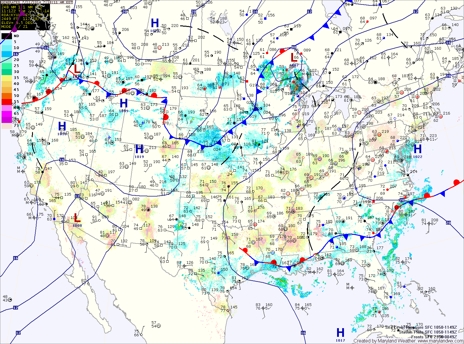
A cold front will begin its approach on Wednesday. It will continue to be warm, with highs around 90 under partly sunny skies.

The front will move close enough to the area to set off scattered thunderstorms late Wednesday into Wednesday night. The storm activity will continue Thursday as the front moves into the area. Highs will be in the low 80s.

The front will push through during the day Thursday, ushering in cooler and drier air for the end of the week.

Warm, humid and unsettled week ahead

Current Surface Map
Current Surface Map
With frontal boundaries, low pressure systems and humid air in place, an unsettled week is expected with shower and thunderstorm chances every day.

With a weak frontal boundary over the area today, expect isolated showers and thunderstorms to develop this afternoon. Highs will be in the low 80s.

Expect more of the same tomorrow, with highs in the mid 80s.

Low pressure that is currently over Oklahoma will move northeastward and be to our west on Wednesday. This system will reinforce shower and thunderstorm chances Wednesday into Thursday. Highs will continue in the mid 80s both days.

Warm and humid stretch continues

Current Surface Map
Current Surface Map
Expect morning fog and drizzle to burn off as we head into the afternoon, giving way to afternoon sunshine. There is a slight chance of isolated thunderstorms this afternoon and evening, especially in the mountains. Highs will be in the low to mid 80s.

A cold front will approach tonight and will move into the area tomorrow. This will bring a better chance of showers and thunderstorms tomorrow afternoon and into tomorrow night. Highs will be around 80.

The rain chances should come to an end late tomorrow night or early Sunday morning. Sunday will feature mostly sunny skies and highs in the mid 80s.

Clouds increase again on Monday as the next cold front moves towards the region. Isolated showers and thunderstorms are also possible. Highs will be in the mid 80s.

Fog and drizzle this morning, partly sunny this afternoon

Current Surface Map
Current Surface Map
Onshore flow has pushed Atlantic moisture into the area this morning, mainly east of the Blue Ridge. Expect patchy fog and drizzle to burn off during the morning hours leading to a partly sunny afternoon. Highs today will reach the upper 70s to around 80.

Another round of fog/drizzle is expected tonight as Atlantic moisture moves back in.

Tomorrow will be similar to today, starting off with fog and drizzle but warming up into the low to mid 80s. There is a slight chance of thunderstorms during the late afternoon and evening hours.

A cold front will approach on Saturday, spreading scattered showers and thunderstorms into the region. Highs will be in the upper 70s to low 80s.

Increasing clouds today, showers tonight; Nice weekend on tap

Current Surface Map
Current Surface Map
A cold front and area of low pressure will move towards the area today. As a result it will be breezy and warm with increasing clouds. Highs will be in the low 70s.

Rain will overspread the area this evening and last through the night. The front will clear the area tomorrow morning as high pressure builds back in.

Tomorrow will be mostly sunny with highs around 70.

Sunday will feature a few more clouds than Saturday but will also be warmer. Highs will push into the mid to upper 70s.

Sunny today and tomorrow; Slight chance of showers Friday

Current Surface Map
Current Surface Map
High pressure will provide two very nice spring days today and tomorrow. Highs will be in the mid 60s today and upper 60s tomorrow.

A weak cold front will approach on Friday, touching off a chance of showers. An area of low pressure will likely form along the front, causing a greater chance of rain Friday evening and night. Highs on Friday will be warmer, likely into the low 70s.

The front will pass through early Saturday morning, ending the rain chances. Clouds will dissipate during the day and highs will be around 70.

Increasing clouds today; Unsettled end to the week

Current Surface Map
Current Surface Map
A cold front will approach from the west today, spreading high clouds into the area through the day. Highs will be in the low 60s.

The front will move through tonight and then stall out across the region tomorrow. North of the boundary, highs will be in the mid to upper 60s while areas along and just south of the boundary will see low 70s. There is also a slight chance of showers tomorrow afternoon and into tomorrow night as a weak area of low pressure moves along the front.

Another low will form to the west on Thursday, keeping a slight chance of showers in the forecast during the day. Highs will be in the low 60s.

Partly sunny today, warmer tomorrow; Rain Wednesday

Current Surface Map
Current Surface Map
High pressure will keep the eastern part of the country dry today. Expect partly sunny skies with highs in the upper 50s.

Tomorrow will be even warmer, with highs reaching the mid 60s under partly sunny skies.

An area of low pressure will move in from the west on Wednesday. The system will basically move directly over the area through the day, bringing widespread rainfall to the area.

Expect showers through the day and into the night. Highs will be in the mid 50s.

The storm will depart Wednesday night and much colder air will move in. There is a chance that the rain ends as a brief period of snow late Wednesday night or early Thursday morning.

Increasing clouds today; Cold front passes tomorrow

Current Surface Map
Current Surface Map
High pressure will continue to slide off the coast today as a cold front approaches from the west. Expect increasing clouds through the day, with highs in the mid 50s.

Showers will develop tonight as the front moves closer. The showers will continue tomorrow and a thunderstorm is also possible as the front pushes into the area. Some of the showers and storms could produce locally strong, gusty winds. Highs tomorrow will be in the upper 50s, possibly low 60s depending on the exact timing of the frontal passage. The front should clear the area during the late morning or early afternoon, gradually ending the rain from west to east.

Behind the front, west to southwest flow will keep temperatures up on Saturday. Expect highs to reach the mid to upper 50s under mostly sunny skies.

Showers likely into the afternoon; Continued warmth through Friday

Current Surface Map
Current Surface Map
A Freezing Rain Advisory is in effect until 10am for areas north and west of I-95.


A weak cold front is spreading showers through the state this morning. Some areas, especially north and west of I-95 are below freezing, causing icy spots. Temperatures everywhere will rise above freezing this morning, reaching the upper 40s to around 50. Showers will likely continue off and on into the afternoon before clearing out this evening.

High pressure builds in tonight and slides off the coast tomorrow. As a result, expect partly sunny skies and highs around 50.

A stronger cold front will approach Thursday night, spreading showers into the area by Friday morning. Some of the showers may contain locally gusty winds as well. The showers will continue Friday morning and into the afternoon. The front will likely push through during the afternoon hours, bringing an end to the rain. Highs will be in the upper 50s to around 60.