Light snow develops tomorrow afternoon and evening, wintry mix overnight
A Winter Storm Watch has been issued for Garrett county. The models are now in good agreement that the storm system that will move into our area tomorrow will take…

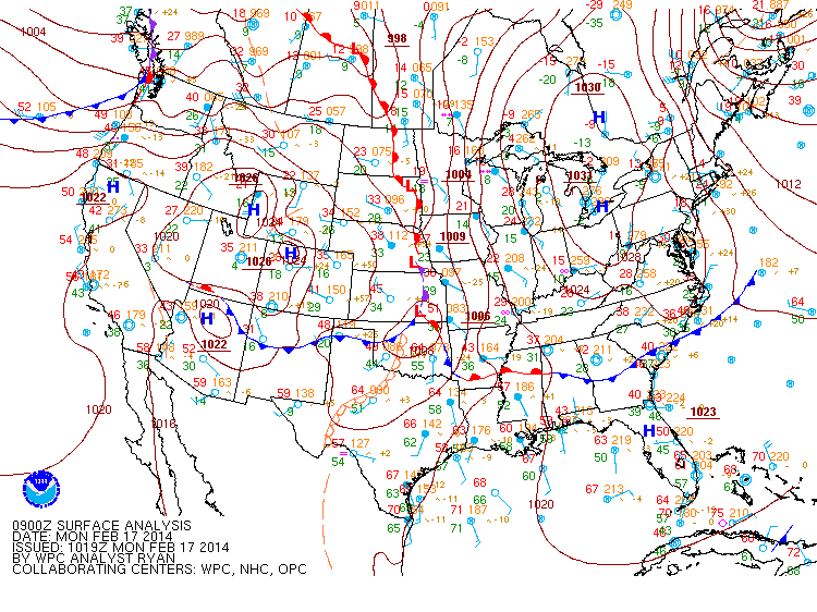
An area of low pressure is moving northeastward off the Carolina coast. The storm will stay well to our south but the northern fringe may spread some light precipitation into the southern and eastern portions of the state.
At the onset, it will be cold enough for any precip that falls to fall in the form of sleet or freezing rain. Temperatures will climb above freezing later this morning, turning any remaining precip over to plain rain. Light showers may persist through the afternoon and into tonight.
Highs today will be around 40 under cloudy skies.
High pressure builds in tomorrow, leading to a pleasant day, with partly sunny skies and highs in the mid 50s.
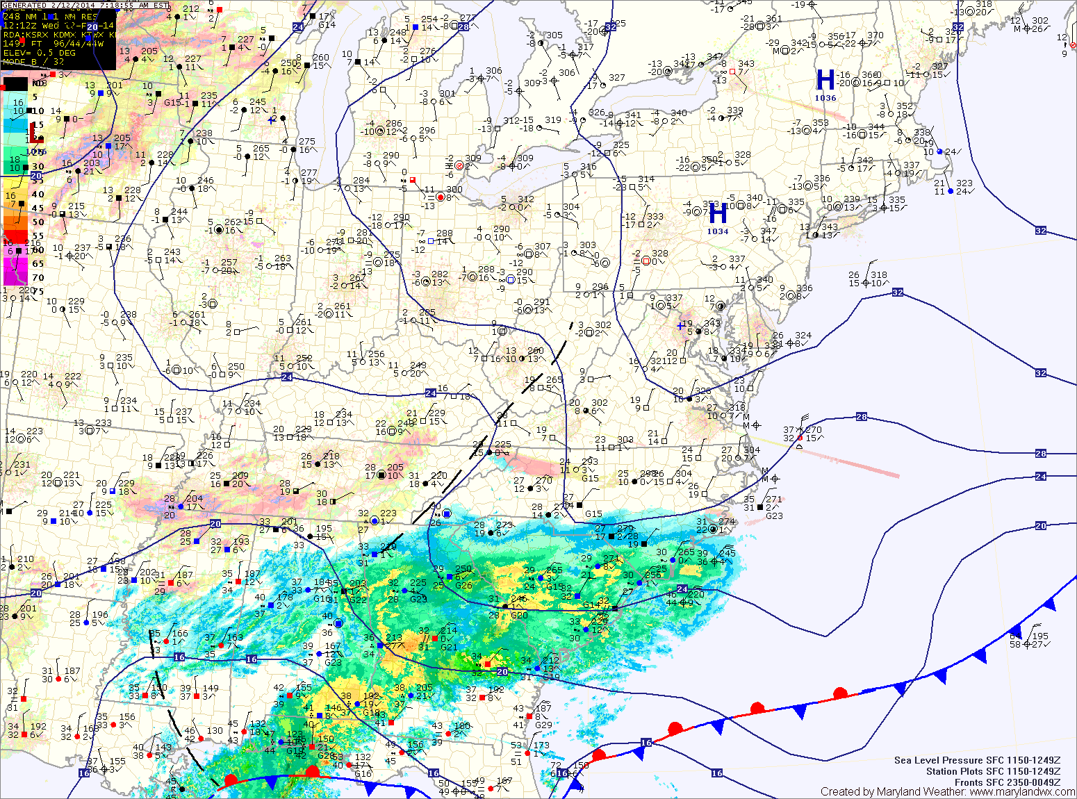
An area of low pressure will move by to our northwest tonight, spreading light precipitation into our area later tonight. The bulk of this precip should be snow, but it may mix with or change to sleet by tomorrow morning. A general 1-2″ of snow is possible, with the highest amounts across the northern part of the state.
The snow/mix will end by mid-morning tomorrow. Skies should quickly clear and temperatures will rise into the mid to upper 40s.
Another system will slide by to our south on Wednesday. At this time, it looks to be far enough south to leave our area dry. It will be warmer, with highs will be in the low 50s under partly sunny skies.
A Winter Weather Advisory goes into effect tonight through tomorrow afternoon for Calvert, St. Mary’s, Somerset and Wicomico counties.
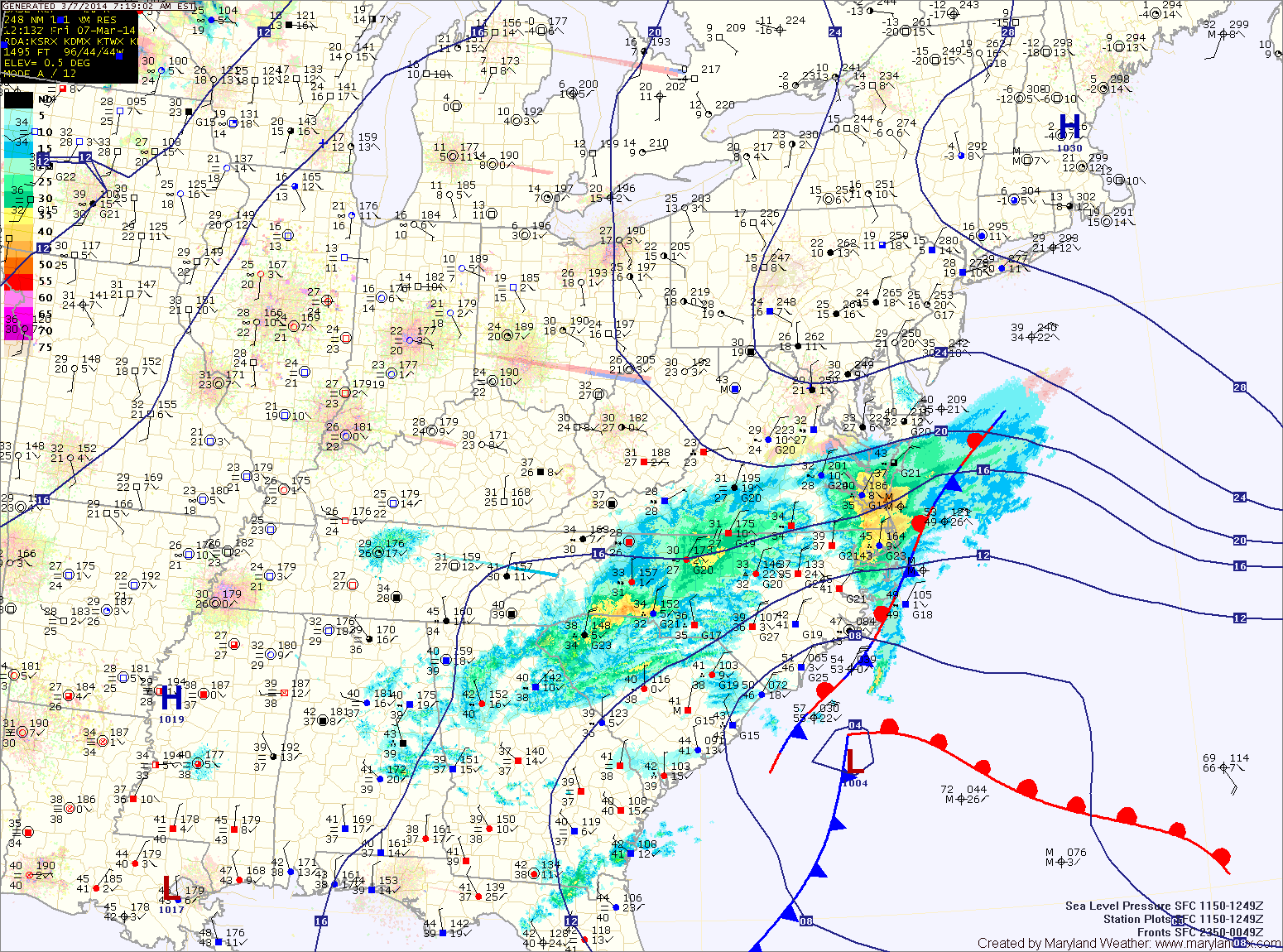
An area of low pressure developing along the Gulf coast will intensify as it moves up the eastern seaboard tonight and tomorrow spreading wintry precipitation into the area.
Expect snow to develop from south to north tonight between 8pm and midnight. The snow will become heavy at times overnight and into tomorrow morning. The low will pass very close to the Delmarva coast tomorrow morning, drawing warmer air into the eastern part of the state and changing the snow over to sleet and or rain. That mix will likely push westward, reaching the I-95 corridor, cutting down snow totals.
West of I-95 should remain mostly snow, with sleet mixing in at times. As is usual with coastal storms, north and west of I-95 will see the heaviest snowfall.
Snowfall Forecast (from southeast to northwest):
-Lower eastern shore: 2-4″ then rain
(Somerset, Wicomico, Worcester)
-Central and northern eastern shore: 4-6″ then sleet and rain
(Dorechester, Kent, Queen Annes, Talbot)
-Lower southern Maryland: 3-5″ then sleet and rain
(Calvert, St. Marys)
-From the bay to I-95: 5-10″, mixing with sleet and rain at times Thursday afternoon
(Anne Arundel, Prince Georges, Charles, Baltimore City)
-Western and northern I-95 counties: 6-12″ with some mixing
(Montgomery, Howard, Northern Baltimore, Harford, Cecil)
-West of I-95: 8-12+”
(Carroll, Frederick, Washington)
-Western Maryland: 4-8″