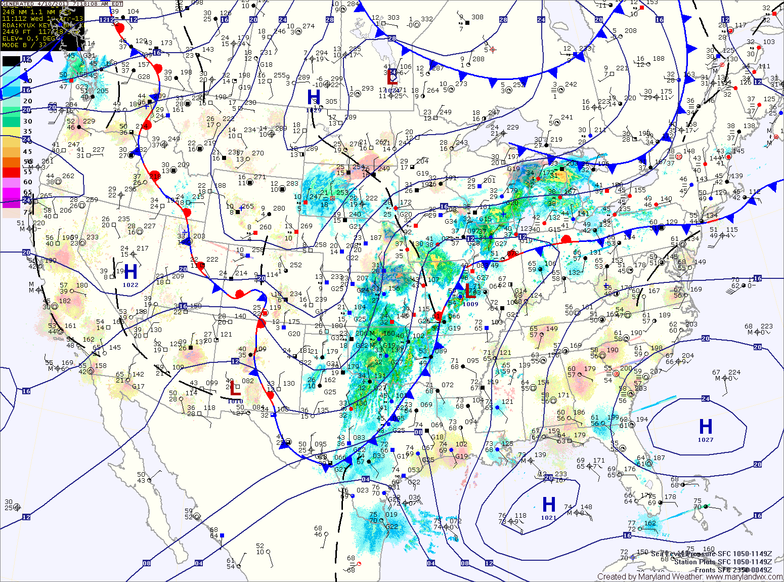
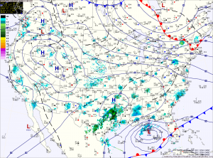
Increasing Clouds Today; Rain Tonight and Tomorrow

Current Surface Map
Current Surface Map
Clouds will increase today as a cold front approaches from the west. Highs will be in the mid to upper 70s.

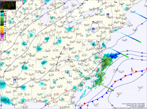
The front will push Gulf moisture into the region tonight, with showers and possibly a thunderstorm developing after midnight.

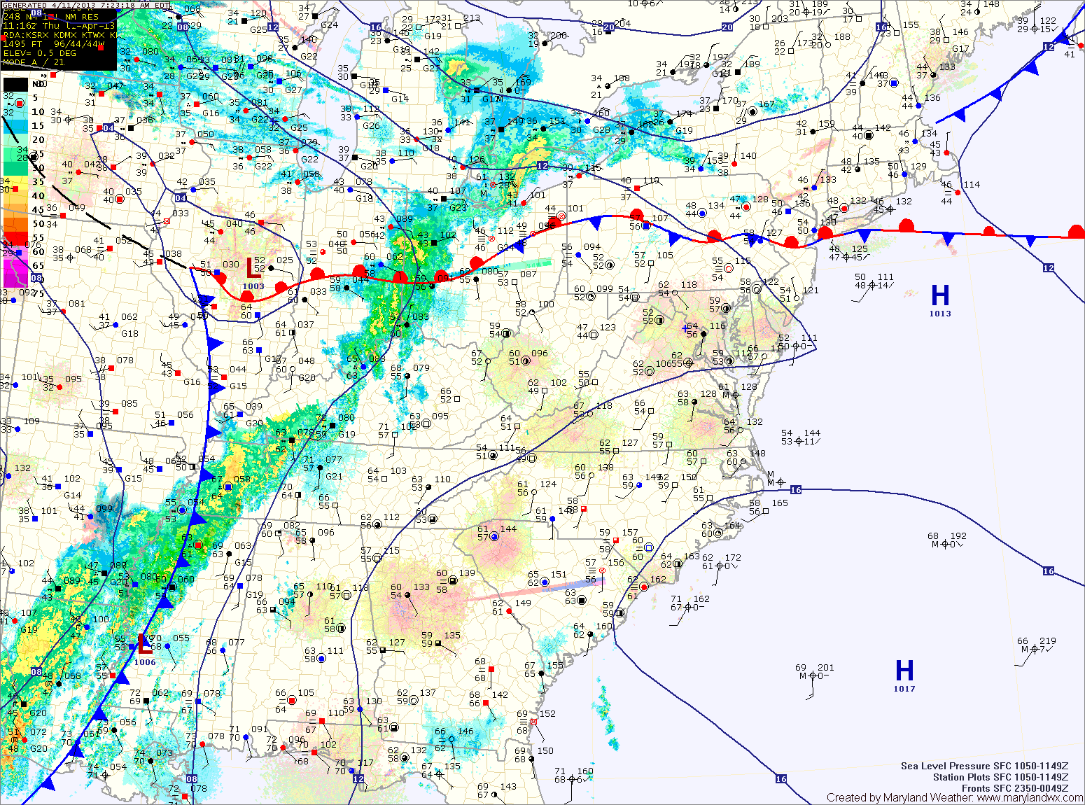
Rain and thunderstorms will continue tomorrow, possibly heavy at times especially in the morning. Flash flooding will be possible in the heavier showers.

The rain will taper off during the afternoon hours. Highs will be in the mid 70s.

Mostly Sunny and Hot; Isolated Afternoon Storms

Current Surface Map
Current Surface Map
Today will be more like July 10th instead of April. It will be mostly sunny and hot, with highs around 90 degrees. Additionally, isolated afternoon showers and thunderstorms are possible. Some of the storms could produce gusty winds.

Tomorrow will feature increasing clouds, with a high in the low 80s.

A cold front will make it’s way into the region tomorrow night. Showers and thunderstorms are likely tomorrow night, as the front approaches the state.

Rain activity will continue Friday morning, possibly heavy at times before tapering off during the afternoon as the front finally pushes through the area. Highs on Friday will be in the mid 70s.

Clouds and Sun with Near Normal Temps this Weekend

Current Surface Map
Current Surface Map
High pressure continues to control our weather today, providing mostly sunny skies with a high around 40 degrees.

The high will continue to influence the area tomorrow, providing a near carbon copy of today. Highs will be around 40.

A weak disturbance will pass by Saturday night, bringing nothing more than a snow shower to far western Maryland and clouds to the rest of the state.

Another system will move by to our northwest on Sunday, dragging a cold front through Sunday night. This front will bring another round of snow showers to far western Maryland, but no precipitation is expected east of the mountains. Highs Sunday will push into the mid 40s.

Sunny Today and Tomorrow; Rain Chances Increase this Weekend

Current Surface Map
Current Surface Map
Today and tomorrow will feature plenty of sunshine and near normal temperatures.

Highs today will be in the mid to upper 40s, warming into the low 50s tomorrow.

Saturday will be a transition day with clouds increasing through the day. Highs will be in the low 50s.

As an area of low pressure moves into the region, there is a slight chance of showers Saturday night and a better chance on Sunday. Highs will be around 50.

Quiet Stretch into the Weekend

Current Surface Map
High pressure will continue to build into the region today and tomorrow, influencing the weather into the weekend.

We will only rise a few degrees from current temperatures today, with a high around 50 under partly sunny skies.

Tomorrow and Thursday will be mostly sunny with highs in the upper 40s.

Friday and Saturday will feature mostly sunny skies with highs around 50.

Rain chances increase late Saturday as another area of low pressure moves toward the area.

Foggy Start; Cold Front Passes Tonight

Current Surface Map
Light easterly flow has brought moisture into the area resulting in locally dense fog this morning. The fog will gradually clear as a warm front moves through the area this afternoon. Meanwhile, a cold front will continue to move towards the area from the west.

These two features will allow showers to develop this afternoon and into tonight. Highs today will push into the mid 60s ahead of the front.

The front clears the area late tonight, bringing an end to the showers.

Nice Stretch Continues; Cold Front Crosses Friday Night

Current Surface Map
The tranquil weather continues as temperatures slowly climb through the rest of the week.

Clouds will decrease today, leading to a mostly sunny afternoon. Highs will be in the mid 50s.

Mostly sunny skies tomorrow with highs in the upper 50s.

Thanksgiving Day looks to be very nice. Highs will be around 60 degrees under mostly sunny skies.

We will see clouds begin to increase on Friday, but it will still be pleasant with highs in the upper 50s to near 60.

Tranquil Thanksgiving Week

Current Surface Map
A week of cool, tranquil weather is on tap, as high pressure brings a mix of clouds and sun and near normal temperatures. A cold front will cross over the weekend, bringing colder temperatures and stronger winds.

Today will be partly sunny, with highs in the mid 50s.

Tomorrow will be similar to today, with highs in the low to mid 50s.

Travel day Wednesday will still feature more clouds than sun but it will be a bit warmer, with highs in the mid to upper 50s.

Partly Sunny Today; Sunday’s Rain Threat Decreases

Current Surface Map
High pressure over southern Canada will continue to control our weather.

Partly cloudy skies this morning will persist today as light northeasterly flow keeps moisture in the area. There will be breaks in the clouds, allowing a bit of sunshine at times, with temperatures rising to around 50 this afternoon.

Tomorrow will feature a bit more sunshine leading to highs a little warmer than today. Highs will be in the mid 50s.

Expect mostly sunny skies on Saturday, with highs again in the mid 50s.