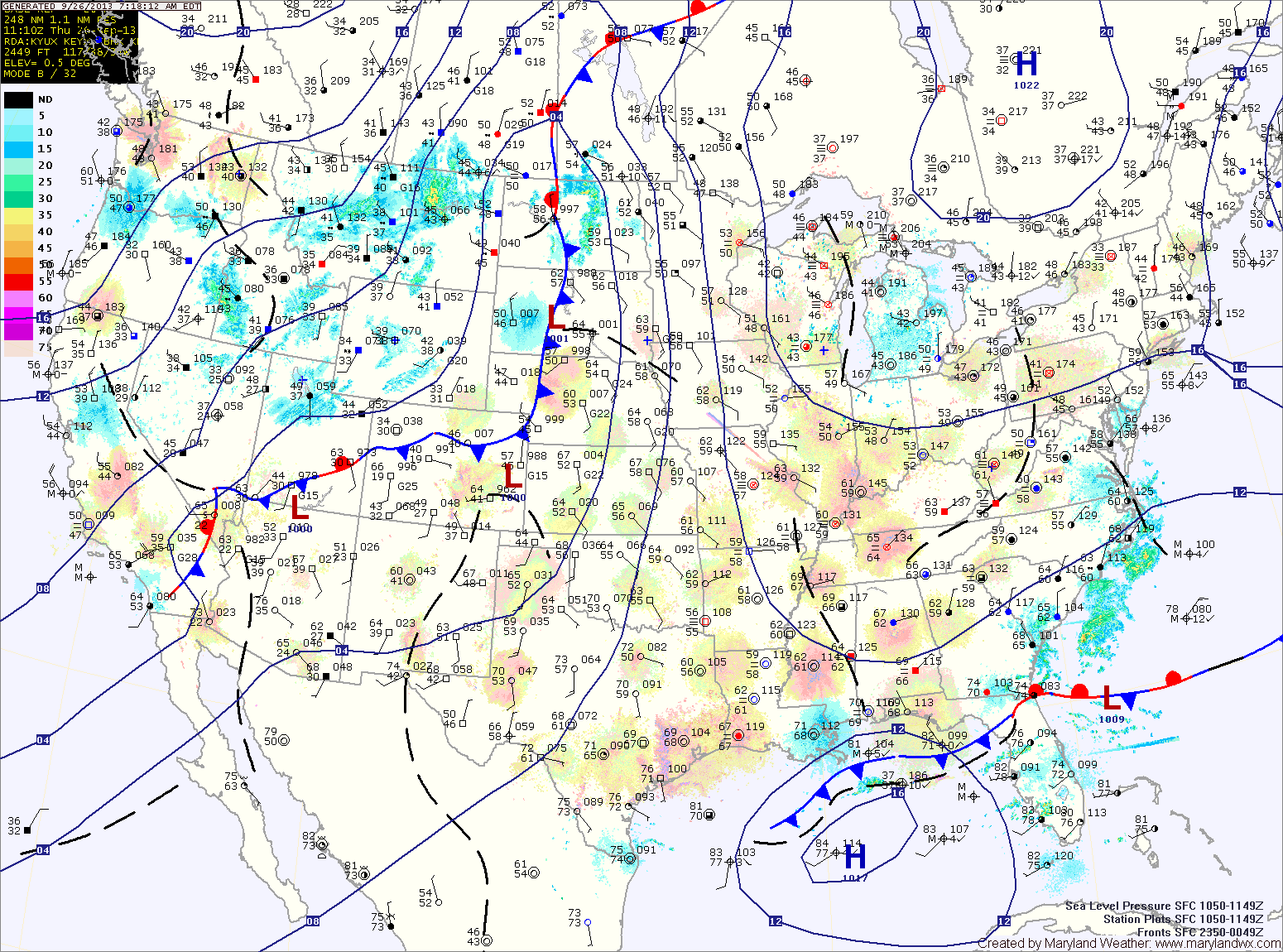
2 Systems this Week: Rain Likely Tues-Weds; Snow Likely Thurs-Friday
Summary: An area of low pressure will move by to our northwest Tuesday night into Wednesday. Another system will slide by to our south late Thursday into Friday. We start…

Expect partly sunny skies and highs in the mid to upper 40s.
A cold front will approach tonight and tomorrow. Expect scattered showers to increase in coverage during the morning and through the day.
It will be warmer and breezy, with highs in the upper 50s to low 60s.
The front will push through tomorrow evening, bringing a brief end to the rainfall.
Clouds will increase tomorrow as a cold front approaches from the west. Highs will be in the low 70s under partly sunny skies.
Thursday should remain mostly dry under partly sunny skies with a chance of showers developing Thursday night as the front passes through. Highs on Thursday will be in the low 70s.
The front will stall out to our south and east and an area of low pressure will form along it. This low will bring a chance of showers Friday. Highs on Friday will be in the mid to upper 60s.
Clouds will decrease tomorrow with highs around 70 under mostly sunny skies.
Clouds will thicken again on Wednesday as a cold front approaches from the west. Highs will be in the low 70s.
The front will pass through Wednesday night bringing a chance of showers as it does.
Expect more of the same tomorrow, with a bit more sunshine. Highs will be in the mid 70s.
Sunday will be similar, mostly sunny with highs in the mid 70s.
A weak cold front will approach and move through Monday into Monday night. It is expected to be a dry passage, with just an increase in clouds expected Monday afternoon. Highs will continue to be in the mid 70s.
High pressure will control the weather through the weekend. Tomorrow will feature a mix of clouds and sun with highs again in the mid 70s.
Saturday and Sunday will feature more sunshine and highs in the mid 70s.
A cold front will approach and move through Monday into Monday night. The front will be fairly moisture starved, and as a result, nothing more than an isolated shower is expected. Highs on Monday will be in the mid 70s.
High clouds will move in this afternoon as a disturbance approaches from the west. The disturbance will move through tonight into tomorrow morning, providing nothing more than clouds.
The clouds will decrease through the day tomorrow. Highs will be in the mid 70s.
As high pressure takes control again, expect a mix of clouds and sun Friday through Sunday with temperatures remaining in the mid 70s for highs each day.
Tomorrow will be a few degrees warmer and also feature more high clouds as we move into the afternoon. Highs will be in the mid 70s.
A weak disturbance will move by on Wednesday night, bringing nothing more than clouds as it does.
High pressure builds back in on Thursday with decreasing clouds. Highs will be in the mid 70s.