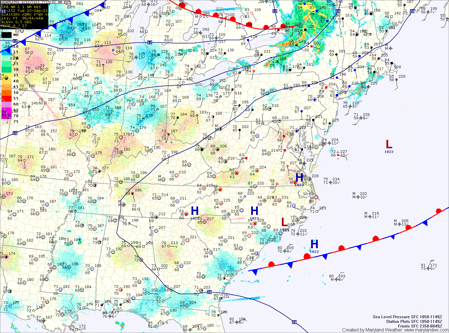
One more round of showers and thunderstorms today; Cold front crosses tonight

A FLASH FLOOD WATCH is in effect until 10pm tonight for most of central Maryland.


Current Surface Map
Current Surface Map
A cold front to our west is poised to move through the state today and tonight, pushing the warm, humid air out and bringing in cooler and drier air. Before it does, expect another warm and humid day.

Showers and thunderstorms will be likely again today into tonight as the front moves through. Some of the storms could produce locally heavy rainfall and flash flooding. Highs will be in the mid 80s.

The front will cross the area tonight, bringing an end to the rainfall.

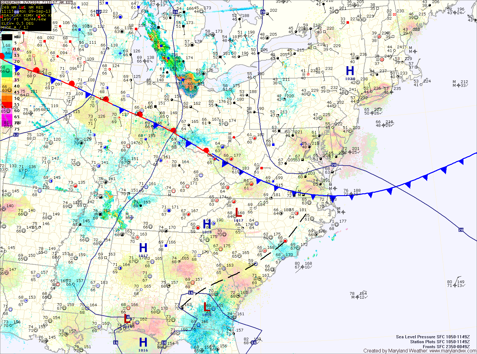
High pressure moves in tomorrow, providing sunny skies and drier air. Highs will be around 80.

Warm, humid and unsettled week ahead

Current Surface Map
Current Surface Map
With frontal boundaries, low pressure systems and humid air in place, an unsettled week is expected with shower and thunderstorm chances every day.

With a weak frontal boundary over the area today, expect isolated showers and thunderstorms to develop this afternoon. Highs will be in the low 80s.

Expect more of the same tomorrow, with highs in the mid 80s.

Low pressure that is currently over Oklahoma will move northeastward and be to our west on Wednesday. This system will reinforce shower and thunderstorm chances Wednesday into Thursday. Highs will continue in the mid 80s both days.

Hot and humid to start the week; Scattered thunderstorms possible

Current Surface Map
Current Surface Map
High pressure to our south and a cold front to our west will create southerly flow and pump warm, humid air into the region. This will allow isolated thunderstorms to pop up this afternoon. Highs today will be in the upper 80s to around 90.

Tomorrow will be similar to today, continued hot and humid with scattered afternoon and evening thunderstorms. Highs will be around 90.

High pressure will develop to our northeast Tuesday night and Wednesday. This will turn winds back to the east and set up on shore flow. This will cool temperatures back to around 80 for highs on Wednesday. There will be ample cloud cover and isolated to scattered showers are possible.

Warm and humid stretch continues

Current Surface Map
Current Surface Map
Expect morning fog and drizzle to burn off as we head into the afternoon, giving way to afternoon sunshine. There is a slight chance of isolated thunderstorms this afternoon and evening, especially in the mountains. Highs will be in the low to mid 80s.

A cold front will approach tonight and will move into the area tomorrow. This will bring a better chance of showers and thunderstorms tomorrow afternoon and into tomorrow night. Highs will be around 80.

The rain chances should come to an end late tomorrow night or early Sunday morning. Sunday will feature mostly sunny skies and highs in the mid 80s.

Clouds increase again on Monday as the next cold front moves towards the region. Isolated showers and thunderstorms are also possible. Highs will be in the mid 80s.

Hazy, Hot and Humid Today; Cold Front Tomorrow

Current Surface Map
Current Surface Map
With high pressure remaining off of the coast, hot and humid conditions will continue today. Expect afternoon highs a few degrees warmer than yesterday, into the mid 90s under mostly sunny skies.

A cold front will approach tomorrow and move through during the late afternoon or evening. Scattered showers and thunderstorms will accompany the front as it moves through. It will continue to be hot, with highs in the low 90s.

Behind the front, Canadian High pressure will begin to move in bringing cooler and drier air. Friday will be partly sunny with highs in the mid 70s.

Hot and Humid Today and Tomorrow; Cold Front Passes Thursday

Current Surface Map
Current Surface Map
High pressure off the coast will usher in hot and humid air for the next few days. Highs today will top out around 90 degrees under mostly sunny skies.

Tomorrow will be a few degrees warmer than today with highs in the low 90s.

Expect more heat and humidity on Thursday as a cold front approaches the area. Highs will be around 90.

The front will move into the state during the afternoon, setting off scattered showers and thunderstorms before moving through late Thursday evening.

Clouds and Sun Today; Heat Builds Tomorrow

Current Surface Map
Current Surface Map
High pressure to our north will provide pleasant weather today, with highs in the mid to upper 70s.

The high will shift off of the coast later today, shifting our winds to more southerly and pumping in warmer and more humid air. Highs tomorrow will be around 90 degrees.

Wednesday will be hot and muggy. Expect highs in the low 90s under partly sunny skies.

A cold front will approach and move through on Thursday. Temperatures will rise to near 90 degrees by the afternoon. This, combined with the approaching front, will set off scattered showers and thunderstorms into Thursday evening.

Decreasing Clouds Today; Mostly Sunny Tomorrow

Current Surface Map
Current Surface Map
High pressure has moved over head today. Early morning clouds will decrease as we move into the afternoon leading to mostly sunny skies. Highs today will be in the mid 80s.

The high will move off the coast tonight into tomorrow. This will result in southerly flow developing Saturday. Temperatures will increase, as will the humidity. Highs will be around 90 degrees.

The humidity will continue to increase sunny, as will shower and thunderstorm chances. Highs on Sunday will again be around 90 degrees.

Showers and Thunderstorms Likely Today

Current Surface Map
Current Surface Map
A weak frontal boundary will slip southward into the area today. An area of showers has developed along the boundary, mainly across western Maryland this morning. More showers and storms are expected to develop this afternoon and evening across most of the state. Highs today will be in the mid to upper 80s.

The front will push southward overnight and into the Carolinas tomorrow. As a result, expect a mix of clouds and sun tomorrow with highs in the mid 80s.

High pressure will build in Friday, bringing a return to mostly sunny skies. Highs will be in the mid 80s.

Warm and Humid Today; Afternoon and Evening Storms

Current Surface Map
Current Surface Map
Today will be much like yesterday with highs in the upper 80s and scattered afternoon and evening thunderstorms.

A cold front will push southward tomorrow bringing another slight chance of storms but also cooler and drier air for the remainder of the work week. Highs tomorrow will be in the mid 80s.

Thursday looks mostly sunny and dry, with low humidity and highs in the low 80s.

Friday will be similar to Thursday, mostly sunny with highs in the low to mid 80s.