Warm & Humid into the Weekend
High pressure will remain off of the coast, pumping warm and humid air into our region, resulting in shower and thunderstorm chances each day. TODAY: Warm and humid conditions will…


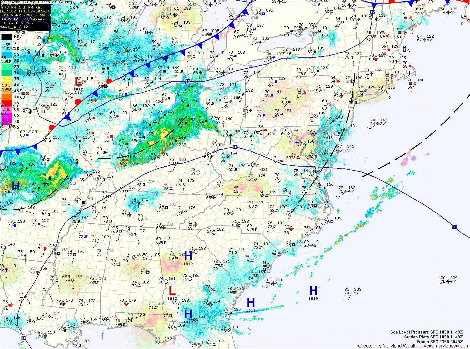
Warm and humid conditions will continue today and will support shower and thunderstorm development this afternoon. Some of the storms could produce locally heavy rainfall. Highs today will be in the upper 80s to around 90.
The storms will decrease in coverage and intensity overnight, but isolated to scattered storms will remain possible.
A cold front will approach tomorrow, trigging more showers and storms. The storms will again be capable of producing heavy rainfall. It will continue to be hot and humid, with afternoon highs in the low 90s.
The front will knock temperatures back a bit tomorrow. Highs will reach the mid to upper 80s under mostly sunny skies.
Not much changes as we end the week. Expect more hot and humid weather, with highs Thursday and Friday in the upper 80s to around 90. Isolated afternoon and evening thunderstorms will be possible both days.