Hot, Humid, Isolated Thunderstorms

Current Surface Map
Current Surface Map
Summer is here, and this week will certainly feel like it. Highs all week will be in the 90s and combined with high dew points, the sticky air will support isolated to scattered thunderstorms most days.

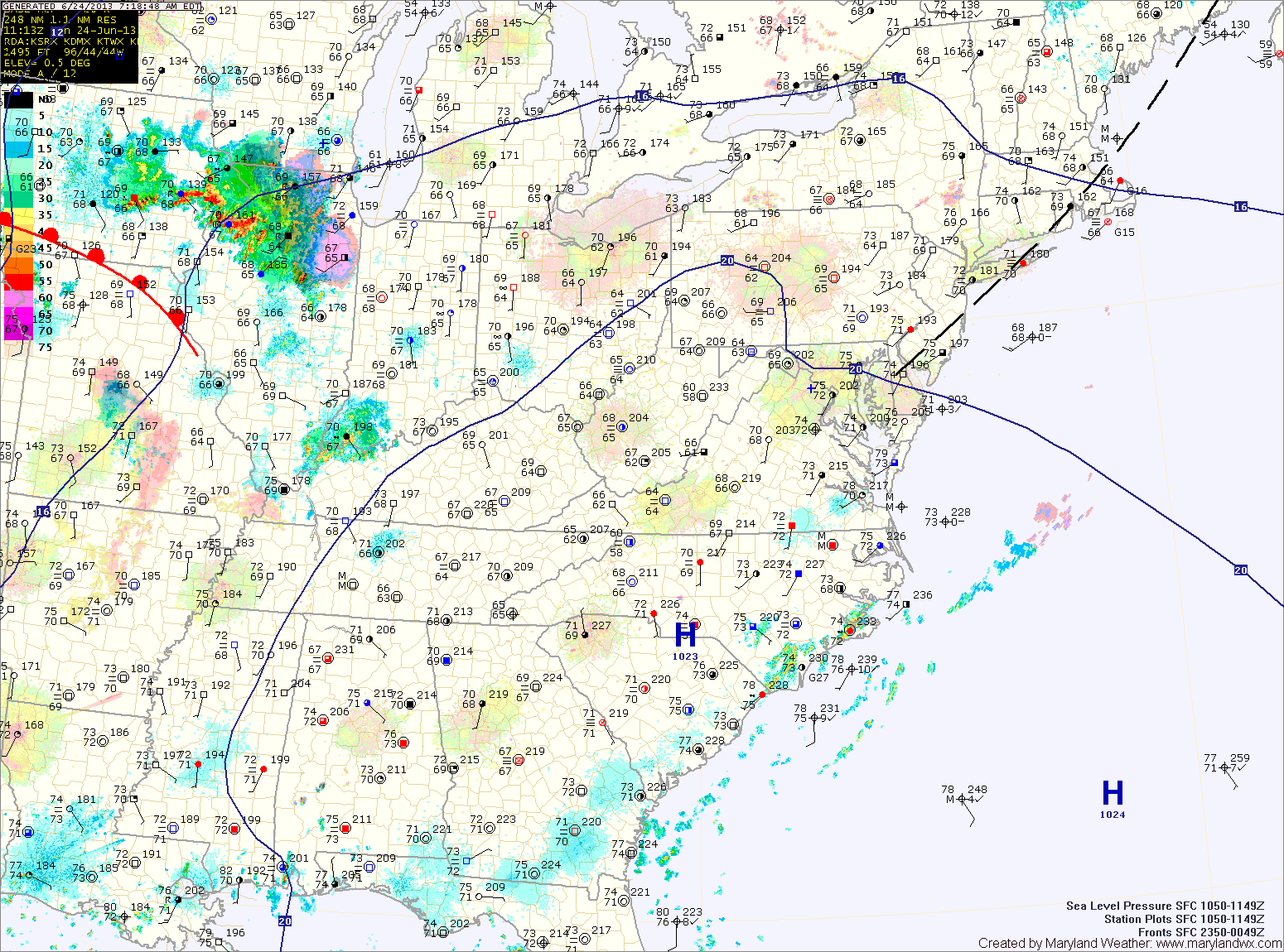
Today will be mostly sunny, with a high around 90. Isolated thunderstorms will develop this afternoon and evening.

Tomorrow and Wednesday will be similar to today but will be a few degrees warmer. Highs will top out in the low to mid 90s with a heat index around 100 both days. Isolated to scattered afternoon storms will also be possible.

Mostly Sunny and Warmer

High pressure off the New England coast will keep our skies mostly sunny through the weekend while making the first weekend of summer feel very summer-like. Highs today will be…

Cloudy with Widespread Showers Today

Current Surface Map
Current Surface Map
Cloud cover will persist today as an area of low pressure moves by to our south. The clouds will keep temperatures down a bit, with highs only in the low 80s.

Additionally, showers will continue to build into the area by late morning and will persist through the day. A few embedded thunderstorms will also be possible this afternoon.

The rain will taper off tonight into tomorrow morning as the low departs the area. Highs tomorrow will be around 80 degrees under clearing skies.

Unsettled Start to the Week

Current Surface Map
Current Surface Map
Heat and humidity will continue to build into the area today. As it does so, a series of fronts in the region will kick off scattered showers and thunderstorms this afternoon. Highs today will be in the mid to upper 80s.

Tomorrow will be similar to today, with another round of afternoon showers and thunderstorms. It will be a little bit warmer than today, with highs around 90 degrees.

An area of low pressure will move by Tuesday night into Wednesday, keeping a chance of rain in the forecast into Wednesday morning. After that system moves by, high pressure and cooler air will move into to region for the remainder of the week. Highs on Wednesday will be in the low 80s.

Continued Heat; Storm Chances Increase this Weekend

Current Surface Map
Current Surface Map
With high pressure remaining off the coast and southerly flow continuing, today will be similar to the past few with highs in the low to mid 90s. There will be a bit more cloud cover today as a cold front approaches from the west. An isolated shower or thunderstorm will be possible this afternoon and evening.

The front will continue to move towards the region tomorrow but southerly flow will continue ahead of it. Expect another day near 90 degrees under mostly sunny skies. Isolated showers and thunderstorms are possible, mainly across northern and western Maryland.

Heat Continues to Build

Current Surface Map
Current Surface Map
The high pressure that was to our west and brought pleasant conditions for the Memorial Day weekend has moved off shore and is strengthening off the coast. Southerly flow around the high will continue to push warm and humid air into the region. Highs today will be around 90 degrees.

There is a slight chance for an isolated shower or thunderstorm this afternoon and evening.

The heat will continue to build tomorrow with highs in the low to mid 90s under mostly sunny skies.

Friday looks to be a carbon copy of tomorrow. Mostly sunny, highs in the low to mid 90s.

First Heat Wave on the Way

Current Surface Map
Current Surface Map
A warm front is in the process of moving through the area and bringing some light showers along with it. The front will cross today, putting the area in southern flow.

Isolated showers and storms are possible through the afternoon. Highs today will be around 80 degrees.

An area of high pressure will be anchored off the coast and will become a “Bermuda High” that typically bring hot and humid conditions to the east coast. Expect mostly sunny skies with an isolated shower or thunderstorm chance tomorrow through Saturday.

It will be hot and humid with highs each day in the low to mid 90s.

Mostly Sunny and Hot; Isolated Afternoon Storms

Current Surface Map
Current Surface Map
Today will be more like July 10th instead of April. It will be mostly sunny and hot, with highs around 90 degrees. Additionally, isolated afternoon showers and thunderstorms are possible. Some of the storms could produce gusty winds.

Tomorrow will feature increasing clouds, with a high in the low 80s.

A cold front will make it’s way into the region tomorrow night. Showers and thunderstorms are likely tomorrow night, as the front approaches the state.

Rain activity will continue Friday morning, possibly heavy at times before tapering off during the afternoon as the front finally pushes through the area. Highs on Friday will be in the mid 70s.

Mostly Sunny Stretch Continues; Isaac to Impact Weekend

Current Surface Map
High pressure will continue to bring dry conditions to the area through the end of the week and into the weekend while Tropical Storm Isaac continues to push into Louisiana. Expect mostly sunny skies and highs in the mid to upper 80s today.

The high will be pushed off the coast tomorrow and southerly flow will allow temperatures to soar into the low to mid 90s tomorrow. Meanwhile, Isaac will continue to push into the Mississippi Valley, bringing heavy rainfall to the Midwest.

The Depression is expected to curve back to the east as it continues to weaken into a remnant low. As it does, clouds will begin to increase here on Saturday. Highs will be around 90 degrees.

Mostly Sunny, Afternoon Storms

…HEAT ADVISORY REMAINS IN EFFECT FROM 11 AM THIS MORNING TO 9 PM EDT THIS EVENING…

Current Surface Map
A cold front remains to our north while high pressure over the southeast continues to keep the region in hot, humid air. Showers and thunderstorms are expected to develop this afternoon with some of the storms possibly becoming severe with damaging wind and large hail. Highs today will again be near 100 degrees, with heat index values topping 105.

The cold front will slowly move southward, continuing rain chances tonight and tomorrow but more importantly it will drop temperatures about 10 degrees. Highs tomorrow will be around 90. Additionally, showers and thunderstorms are likely again tomorrow as the front remains in the area.