Clouds and Sun Today; Heat Builds Tomorrow
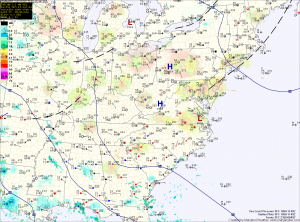
Current Surface Map
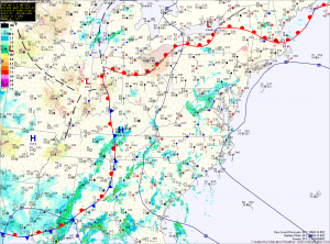
Current Surface Map
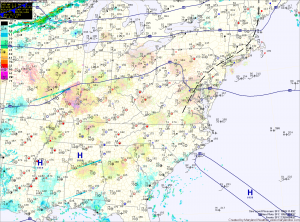
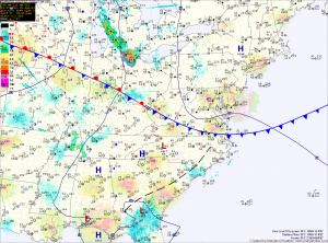
High pressure to our north will provide pleasant weather today, with highs in the mid to upper 70s.

The high will shift off of the coast later today, shifting our winds to more southerly and pumping in warmer and more humid air. Highs tomorrow will be around 90 degrees.

Wednesday will be hot and muggy. Expect highs in the low 90s under partly sunny skies.

A cold front will approach and move through on Thursday. Temperatures will rise to near 90 degrees by the afternoon. This, combined with the approaching front, will set off scattered showers and thunderstorms into Thursday evening.

Decreasing Clouds Today; Mostly Sunny Tomorrow

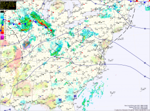
Current Surface Map
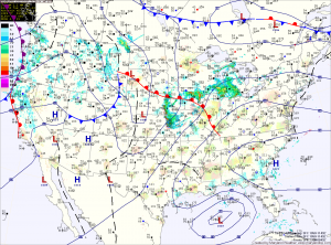
Current Surface Map
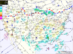
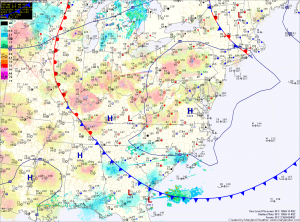
High pressure has moved over head today. Early morning clouds will decrease as we move into the afternoon leading to mostly sunny skies. Highs today will be in the mid 80s.

The high will move off the coast tonight into tomorrow. This will result in southerly flow developing Saturday. Temperatures will increase, as will the humidity. Highs will be around 90 degrees.

The humidity will continue to increase sunny, as will shower and thunderstorm chances. Highs on Sunday will again be around 90 degrees.

Hazy, Hot and Humid; Scattered Afternoon Storms

Current Surface Map
Current Surface Map
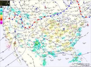
Another hot and humid day is on tap today. Highs will once again be in the mid to upper 90s with heat index values near 110. An Excessive Heat Warning is in effect for Washington and Baltimore, while a Heat Advisory is in effect for the surrounding counties in central Maryland.

There will also be scattered thunderstorms this afternoon. The storms will be capable of producing gusty winds, heavy rainfall and large hail.

A cold front will approach tomorrow, but will remain to our north resulting in another hot and humid day with afternoon and evening thunderstorms. Highs will be in the mid 90s. The storms could be strong to severe, with damaging winds, large hail and locally heavy rainfall.

Heat Peaks Today; Strong Thunderstorms Likely This Weekend

Current Surface Map
Current Surface Map
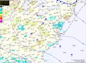
High pressure will move overhead today and bring the hottest conditions of the week. Highs will likely top out in the mid to upper 90s with higher humidity values making it feel over 105. A Heat Advisory is in effect central Maryland through this evening.

Afternoon thunderstorms will likely develop over the mountains and move eastward towards the Baltimore/Washington metro during the late afternoon hours. This activity is expected to be isolated but areas that do see storms could see brief heavy rainfall and gusty winds.

Tomorrow will be similar to today, possibly a few degrees cooler with a slight chance of afternoon storms. Highs will be in the mid 90s with dewpoints in the low to mid 70s and heat indices near 105.

Heat Wave Continues

Current Surface Map
Current Surface Map
With high pressure remaining to our west, hot and humid conditions will persist along the east coast today. Highs will be in the mid 90s with heat indices around 100. Isolated thunderstorms will be possible again, mainly in the mountains.

The high will move overhead tomorrow, as it begins to be dislodged by a cold front. Highs will be in the mid 90s with a slight chance of afternoon storms.

The high will move to our southeast on Friday, allowing southerly flow to develop which may in turn raise our temperatures to the upper 90s and cause dewpoints to rise into the low to mid 70s. The result will be heat indices that may top 105 degrees in some areas. There is a slightly better chance of thunderstorms Friday afternoon.

Another Hot and Humid Day

Current Surface Map
Current Surface Map
With high pressure still in control of the weather, expect another hot and humid day today. Highs will be a few degrees warmer than yesterday, pushing into the mid 90s with heat index values near 105 this afternoon.

Tomorrow will be a near carbon-copy of today. It will continue to be hot and humid with highs in the mid 90s.

A stray afternoon thunderstorm will be possible each day, mainly across the mountains.

The high pressure center will begin to weaken across the area Thursday and Friday, allowing a better chance of thunderstorms, but this activity will remain isolated at best. Highs both days will remain in the mid 90s.

Hottest Weather of the Year This Week

Current Surface Map
Current Surface Map
A strengthening area of high pressure will bring the first real heat wave of the year this week. A cold front should bring some relief this weekend.

Today will feature mostly sunny skies with a high around 95. Heat indices will be near 100 this afternoon.

The heat and humidity will continue to build tomorrow through Friday, with highs in the mid to upper 90s and heat index values well into the 100s.

More Showers and Storms; Pattern Shifts Tomorrow

Current Surface Map
Current Surface Map
Low pressure remains to our west while high pressure remains to our east. The flow around them continues to send moisture up the east coast.

Today will be similar to the past few, with scattered showers and thunderstorms capable of producing locally heavy rainfall. Highs will be in the low to mid 80s.

The high pressure center will begin to move westward tonight. This will push the widespread shower and storm activity to our west tomorrow.

Expect a more typical summer day for the Fourth of July holiday. Highs will be around 90 degrees with a slight chance of a pop up afternoon thunderstorm.

Another Hot, Humid Day with Afternoon Storms

Current Surface Map
Current Surface Map
Just like yesterday, today will be hot and humid. The heat will support another round of afternoon thunderstorms with possibly damaging winds, as highs push into the low to mid 90s.

The storm threat will last into the evening before waning over night.

Another steamy day on tap tomorrow, but winds will increase as a cold front approaches from the west. More storms are expected in the area, capable of producing damaging winds and large hail. Highs will be around 90.

Continued Hot and Humid; Afternoon Storms

Current Surface Map
Current Surface Map
High pressure off the southeast coast will continue to pump hot and humid air into the region. More showers and thunderstorms will be possible this afternoon as highs push into the low to mid 90s.

More of the same tomorrow, with highs in the mid 90s and afternoon showers and storms possible. Some of the storms could turn severe with damaging winds and large hail possible.

A weak cold front will approach the region on Thursday, increasing thunderstorm activity and the likelihood of severe weather. Highs on Thursday will be around 90 degrees.