Mostly Sunny into the Weekend

Current Surface Map
Current Surface Map
High pressure remains in control today, leading to mostly sunny skies and highs in the mid 80s.

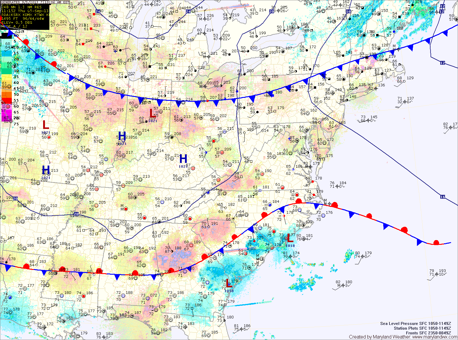
A weak cold front will move through this afternoon. The front will shift winds and provide a few high clouds but no rain. Behind the front, more sunshine is expected with cooler temperatures. Highs tomorrow will top out in the mid 70s.

Another warming trend will commence this weekend, with highs on Saturday in the low 80s under mostly sunny skies.

Another dry cold front will move through on Sunday afternoon, causing a few more clouds than Saturday but high temperatures will push into the mid 80s despite the clouds.

Quiet Weather Ahead

Current Surface Map
Current Surface Map
A dry cold front is currently moving through central Maryland. Behind this front, drier air is filtering into the region. Highs today will be in the mid 80s under mostly sunny skies.

High pressure builds in briefly tomorrow, bringing sunny skies and highs in the low 80s.

Another dry cold front will bring a few clouds on Thursday. Highs will be in the low to mid 80s.

Behind this front, another shot of cooler air will move in. Highs on Friday will top out in the upper 70s.

Scattered Showers and Thunderstorms Today; Cold Front Crosses Tomorrow

Current Surface Map
Current Surface Map
Scattered showers and thunderstorms will be possible this afternoon. Highs will be in the upper 80s.

A cold front will move into and through the region tomorrow, bringing another round of showers and thunderstorms tonight and through the day tomorrow. Highs will be in the upper 80s.

Behind the front, high pressure will build in, bringing in another stretch of sunny and dry conditions. Thursday and Friday will be mostly sunny with highs in the mid to upper 80s.

Partly Sunny Today, A Cold Front Brings Storms Tomorrow

Current Surface Map
Current Surface Map
Today will feature more clouds than sun and humid conditions. Highs will be in the upper 80s.

A cold front will cross the area tomorrow, bringing showers and thunderstorms with it. Some of the storms could produce locally heavy rain and gusty winds. Highs will be in the low to mid 80s.

Behind the front, high pressure will bring cooler and drier air into the region for the remainder of the work week. Expect mostly sunny skies on Wednesday with highs in the upper 70s to low 80s.

Gorgeous Weekend on Tap

Current Surface Map
Current Surface Map
Our stretch of dry and warm weather will continue today with ample sunshine and highs in the upper 60s.

High pressure will remain parked over the region through the weekend keeping us dry and warm.

Tomorrow will be nearly a carbon copy of today with perhaps a bit more in the way of cloud cover. Highs will be in the mid to upper 60s.

Sunday will continue the string, with mostly sunny skies and a high near 70.

Changes are in store as we move into the work week, with an area of low pressure that has been blocked to our west slowly moving towards the region. Clouds will increase on Monday with shower chances increasing as we move into Monday night.

Sunny Today; Dry and Pleasant into the Weekend

Current Surface Map
Current Surface Map
High pressure to our northeast has shifted our winds to a more northeasterly direction. This has cut off the easterly flow that had been bringing clouds and drizzle to the area.

Expect sunny skies today with highs around 70 degrees.

The high will remain to our north while slowly moving towards our area tomorrow and Friday.

Expect mostly sunny skies with highs in the upper 60s to low 70s both days.

The high will continue to control the weather through the weekend and into next week. Saturday and Sunday will be partly to mostly sunny with highs in the low 70s.

Continued Windy; Red Flag Warning in Effect

Current Surface Map
Current Surface Map
As cold Canadian high pressure moves into the region, winds will continue to gust to near 30mph. These winds, combined with very low humidity values will help spread any uncontrolled fires. Highs today will only reach the upper 40s to low 50s.

High pressure moves overhead tomorrow, calming winds and continuing the sunshine. The high will move off the coast during the afternoon and high clouds will begin moving in, ahead of low pressure to the south. Highs will be in the low to mid 50s.

Low pressure will move along the southeast coast then up and off the Carolina coast. Rain will move in overnight Thursday and continue through Friday morning. As the low moves away Friday afternoon, the rain will taper off and end during the late afternoon. Highs Friday will be in the mid to upper 50s.

Dry and Cool into Next Week; Chance of Snow Midweek?

Current Surface Map
Current Surface Map
High pressure will continue to control our weather through the weekend and into next week.

Expect cool, dry and breezy conditions, with highs in the low to mid 40s through Tuesday. In western Maryland, expect scattered upslope snow showers to continue through the weekend.

As we move towards midweek, the models continue to show an area of low pressure moving through the southeast in some form or fashion.

There are discrepancies between what the low will do and if it will impact our area. In any case, the threat of a late season snowfall persists and if it were to occur, it would most likely be on Wednesday.

Scattered Showers Today

Current Surface Map
Current Surface Map
Batches of scattered showers are slowly moving through the area this morning and will continue to affect the state into the afternoon.

Highs today will be around 50 degrees.

Colder and drier air will move into the region tomorrow. Expect partly sunny skies with highs in the mid 40s.

A dry, cold and breezy weekend is on tap. Highs will be in the low to mid 40s on Saturday, and only around 40 on Sunday.

The dry stretch will continue into next week, with highs in the low 40s on Monday and Tuesday.