Patchy Fog and Drizzle this Morning; Decreasing Clouds this Afternoon
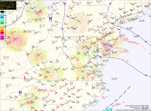
Current Surface Map
Current Surface Map
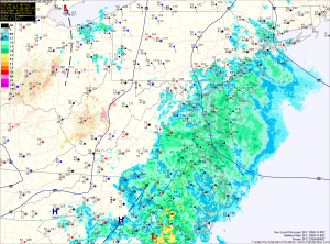
A frontal boundary has moved through and is now to our south. In its wake, low level moisture is in place. This is manifesting as areas of drizzle and fog. High pressure will continue to move into the area today, dislodging the moisture and leading to decreasing clouds this afternoon. Highs today will be in the low 80s.

High pressure will continue to build in tomorrow. As a result, expect a mix of clouds and highs in the mid 80s.

The high pressure will move to our south and off the coast by Saturday. As it does, southerly flow around the high will pump warmer air and higher humidity into the area. This will provide a slight chance of an isolated shower or thunderstorm during the afternoon hours. Highs on Saturday will be in the upper 80s to near 90.

One More Day of Light Rain

Current Surface Map
Current Surface Map
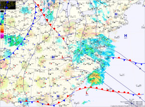
High pressure off the coast will continue easterly flow off the Atlantic Ocean, fueling drizzle and light rain across the state. The rain will continue through this afternoon. Highs will be in the low 60s.

The high will push back to the west tonight and should bring an end to the rainfall. Skies will begin to clear overnight tonight.

Tomorrow, the high will continue to bring in drier air. Expect partly sunny skies with highs in the upper 60s.

The high will strengthen its influence on the area Thursday and Friday as it continues to move into the area. Highs both days will be in the mid to upper 60s under partly sunny skies.

Light Rain Today

Current Surface Map
Current Surface Map
Easterly flow combined with low pressure has resulted in a cool and damp day with light rain likely through the day and night.

The rain is mainly along and east of I-95 at this time, but will work its way westward during the day. Highs will struggle into the upper 50s.

Onshore flow with damp conditions and light rain chances will persist tomorrow and Wednesday.

The rainfall is expected to be lighter than today, but will still be in the forecast into Wednesday night. Highs both days will be in the low to mid 60s.

Drizzle This Morning; Cold Front Tomorrow Night

Current Surface Map
Current Surface Map
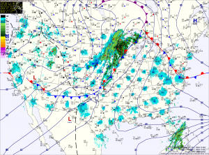
An upper level low is bringing light rain and drizzle to the state this morning. The rain will move through and rain chances will decrease as we move into the afternoon. Highs today will be in the low 60s.

A cold front will drop southward and towards the area tomorrow, keeping clouds in the area. Despite the clouds, temperatures should climb into the low 70s for highs.

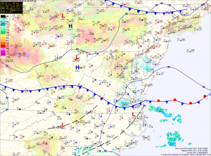
Scattered showers are possible tomorrow night as the front pushes into the area. The front is expected to stall out across the state Wednesday and Thursday. North of the front it will be cooler, while south it will be warmer. Highs Wednesday and Thursday will be dependent upon where the front stalls but will generally be in the 60s and 70s.

All Eyes Toward the Weekend

Current Surface Map
Easterly flow around an area of high pressure off New England has allowed fog and clouds to develop this morning. Meanwhile, Hurricane Sandy has strengthened to a Category 2 storm near Cuba.

The clouds due to moisture off the Atlantic will persist into the afternoon, keeping high temperatures in the low 70s.

Expect drizzle to develop tonight into tomorrow morning as easterly flow continues. There should be some partial clearing tomorrow afternoon with highs in the low 70s.

As Hurricane Sandy continues its northward trek, it will combine with the high to the north to maintain and enhance the easterly flow in our area. This will lead to a cloudy Saturday with highs in the mid to upper 60s.