Breezy and Cooler Today with a Chance of Sprinkles this Afternoon
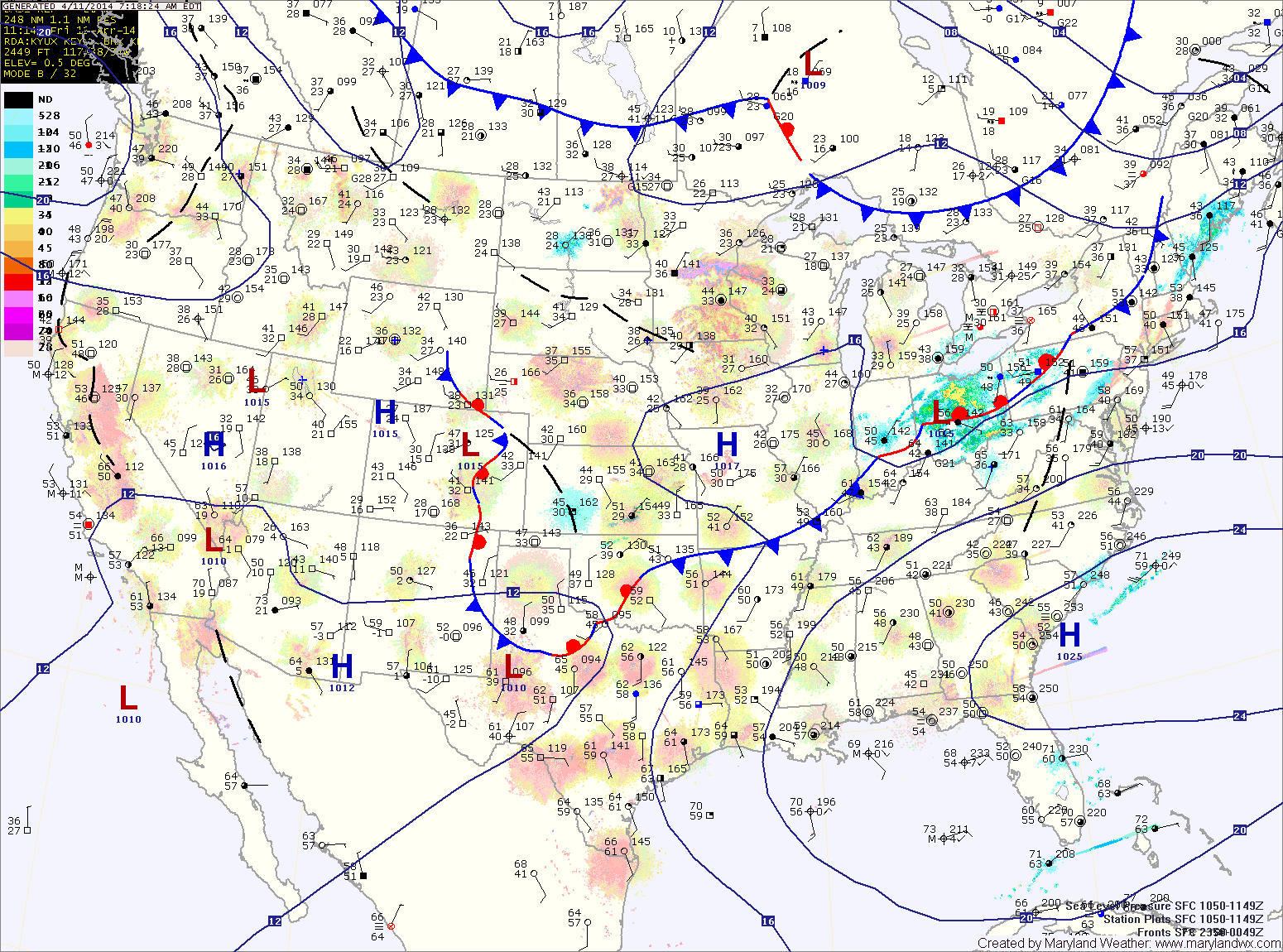
An area of low pressure remains over the northeast US and will continue to combine with building high pressure to funnel cooler air into our region on gusty northwest winds.…

Today will feature increasing clouds with the first round of showers moving in late this afternoon or evening. Highs will be in the low to mid 60s.
Showers will continue tonight and tomorrow, with the rainfall becoming steadier tomorrow afternoon. It will also be breezy, with highs in the low to mid 50s.
Rain will continue tomorrow night and Wednesday, heavy at times. Isolated thunderstorms are also possible Wednesday afternoon. Highs on Wednesday will be in the mid to upper 60s.
A cold front will approach tomorrow, spreading showers into the region. Showers are likely from mid-morning through the afternoon hours to the west, and from afternoon into evening further east. There is also a slight chance of thunderstorms during the evening hours as the front crosses the state. Highs will be in the upper 60s.
Saturday will be mostly sunny, but a secondary cold front will pass through late in the day or overnight. This front will have little moisture with it, so no rain is expected. Highs will be in the low 70s.
Another cold night on tap tonight, with lows dropping into the low 30s.
Winds will shift around to the east tomorrow which will cause clouds to increase. Highs will be in the mid 50s.
Friday will be generally cloudy, with highs in the mid to upper 50s.
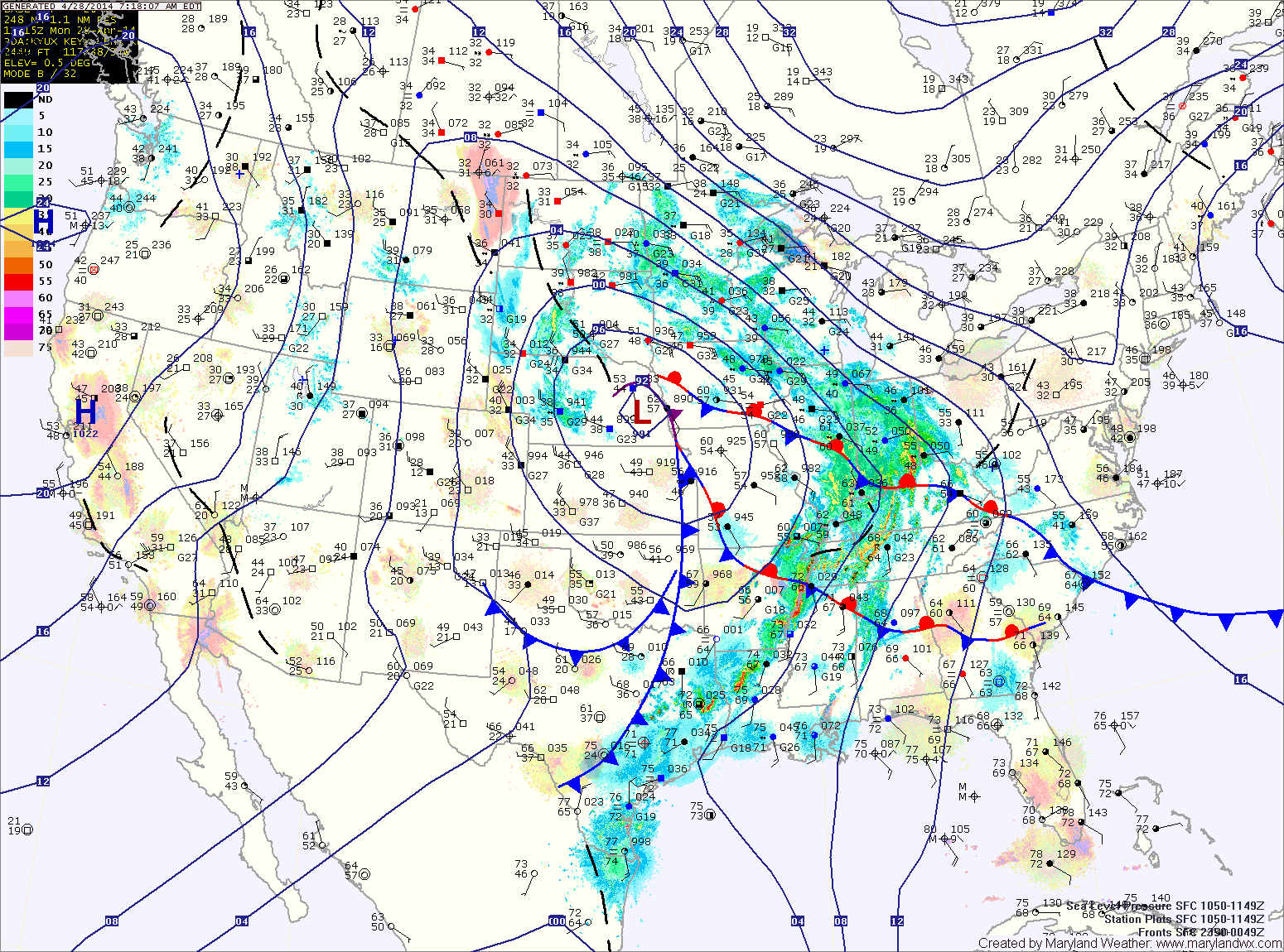
A strong cold front is moving through, spreading showers and thunderstorms into the area. The showers and storms will continue into this evening before tapering off after dark. As colder air moves in behind the front, the rain may end as a brief period of snow, mainly north and west of the cities. Highs today will reach the mid to upper 60s before falling this afternoon.
Rain will overspread the area this evening and last through the night. The front will clear the area tomorrow morning as high pressure builds back in.
Tomorrow will be mostly sunny with highs around 70.
Sunday will feature a few more clouds than Saturday but will also be warmer. Highs will push into the mid to upper 70s.