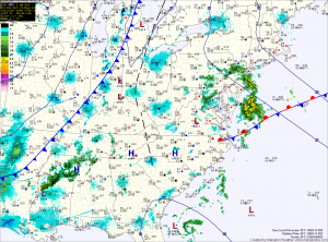
The other notable weather feature is the first Tropical Storm of the season. Tropical Storm Alberto formed over the weekend off the South Carolina coast. The storm currently has sustained winds of 40mph and will move away from the coast as it weakens and moves out to sea and will not affect the area.
Meanwhile, the blocking pattern will hold through most of the week, keeping showers in the forecast through Thursday. There will also be limited instability each day, providing the possibility of thunderstorms as well. Highs each day will be in the upper 70s.
The block should weaken as high pressure builds over the southeast for the first half of the Memorial Day weekend. A cold front will approach for the latter half of the weekend, into early next week.
