Today will see increasing clouds, and highs in the mid to upper 40s. A storm system will approach from the southwest, bringing rain, and a wintry mix in the higher terrain by this evening. A *Winter Weather Advisory* is in effect for Garrett and Allegany counties, where a couple inches of snow and some ice accumulation is possible before changing to rain tomorrow morning.
With several waves of low pressure poised to move through, several rounds of precipitation are expected both days this weekend. There will likely be a dry period during the daylight hours tomorrow, before the next round of rain moves in tomorrow night into Sunday morning, with several waves of rainfall through the day, lasting into Sunday night and into Monday morning.
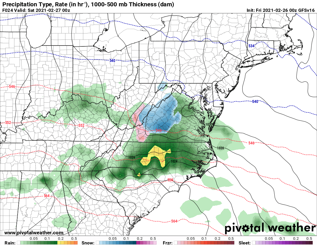
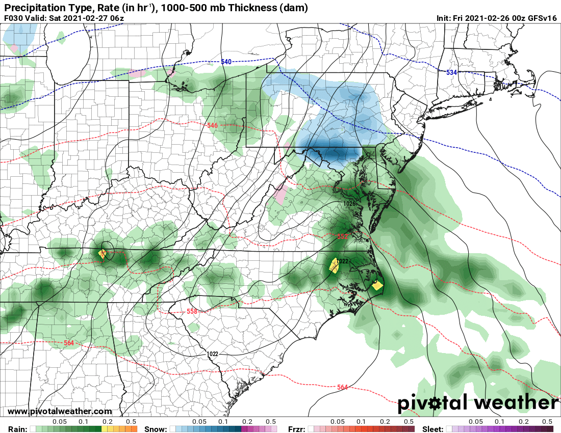
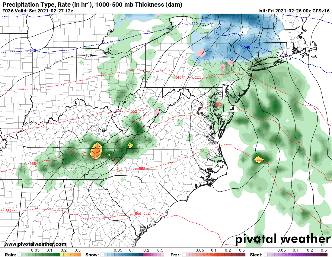
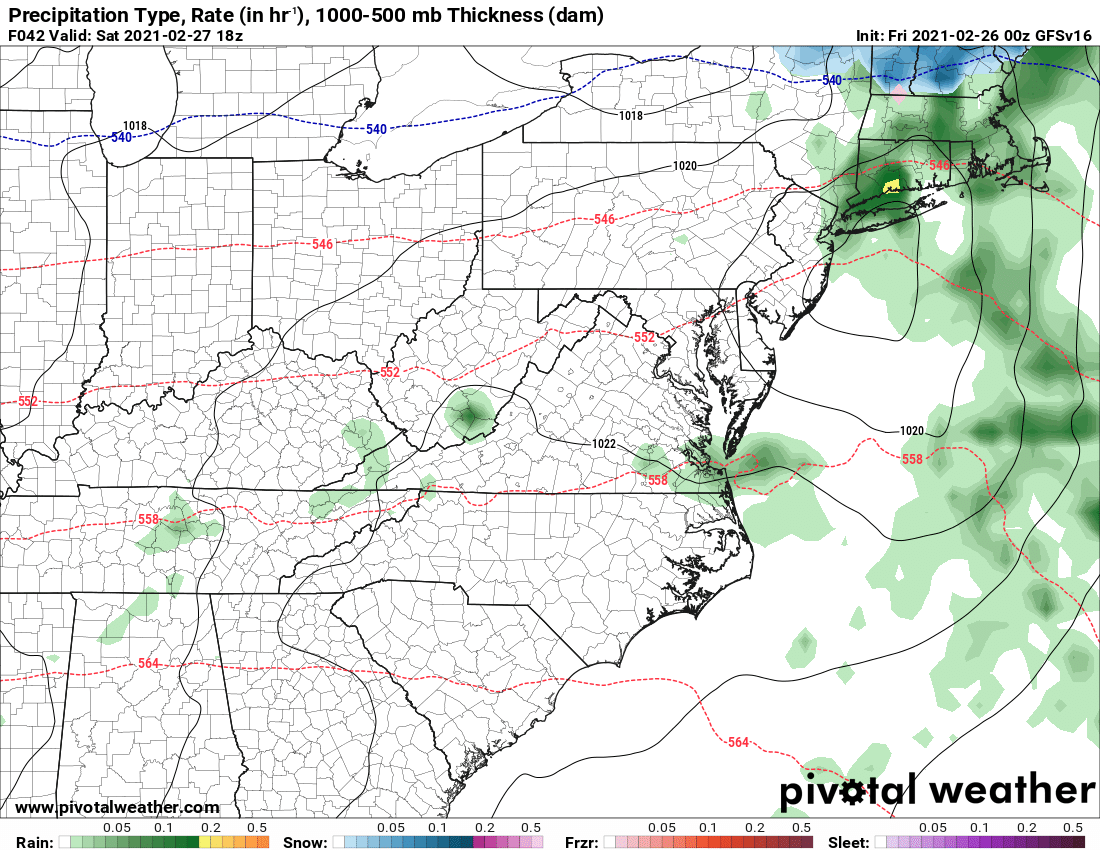
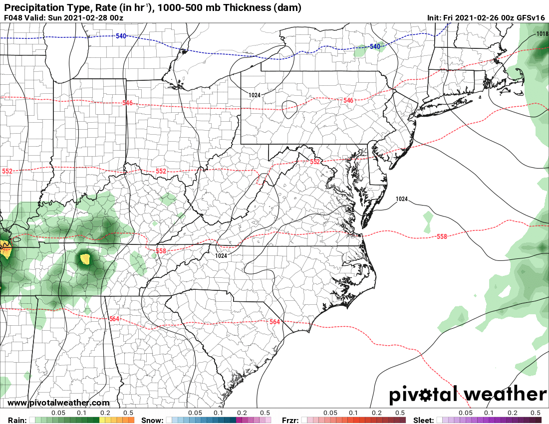
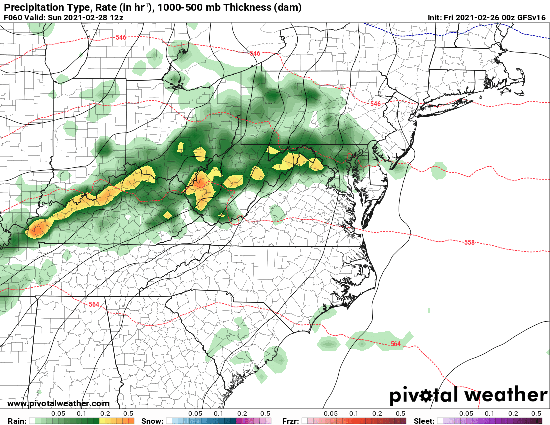
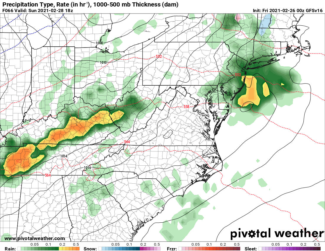
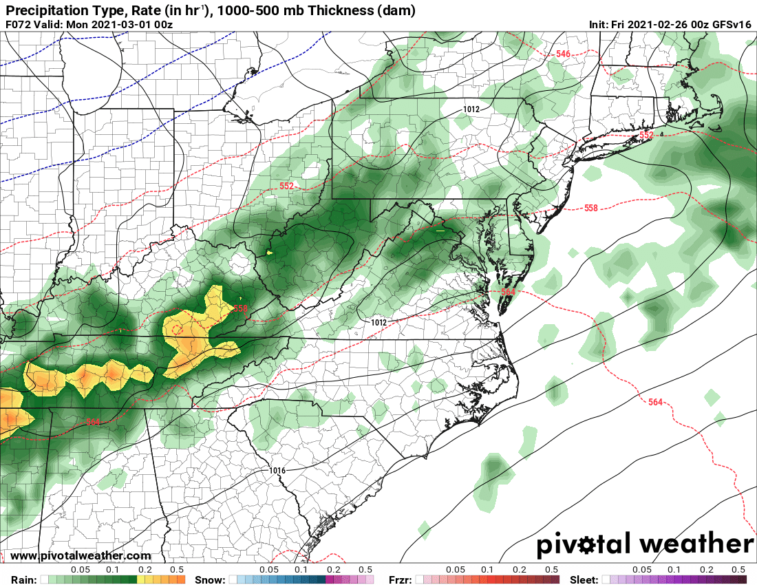
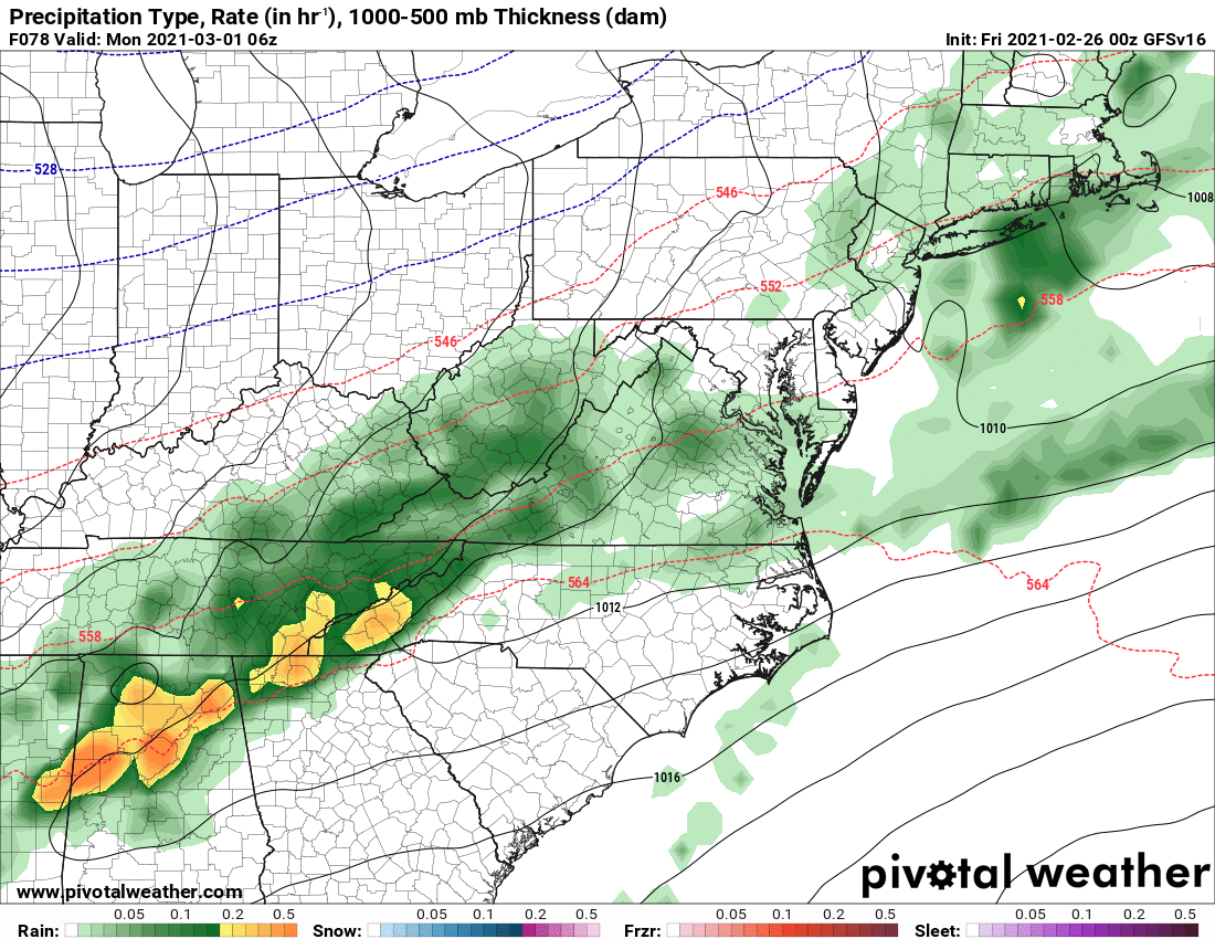
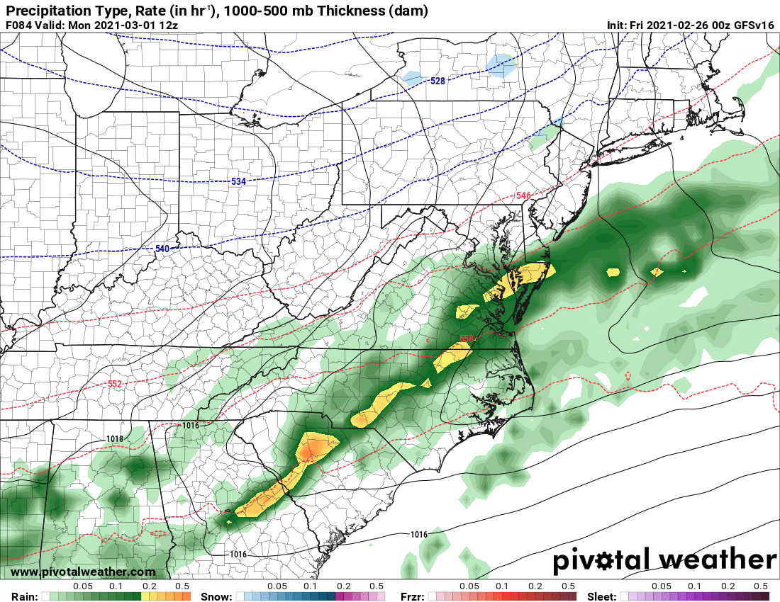
Here is this morning’s GFS depiction of the evolution of the precip this weekend:
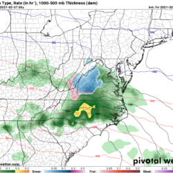
Friday – 7PM 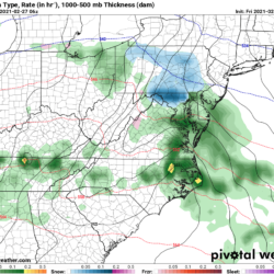
Saturday – 1AM 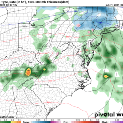
Saturday – 7AM 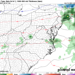
Saturday – 1PM 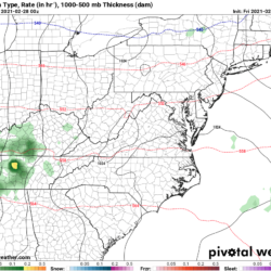
Saturday – 7PM 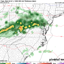
Sunday – 7AM 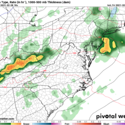
Sunday – 1PM 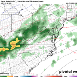
Sunday – 7PM 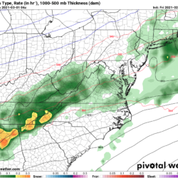
Monday – 1AM 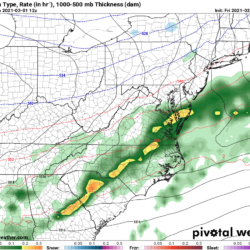
Monday – 7AM
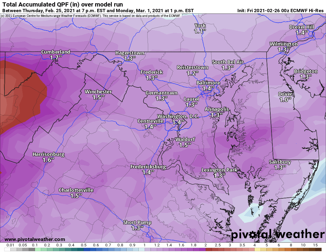
When all is said and done, 1-1.5″ of rain is likely by the time we clear out on Monday morning:
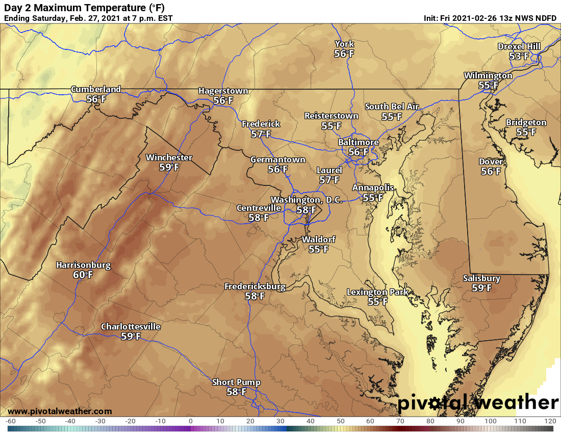
Despite the cloud cover and rainfall, it will be mild, with highs in the mid to upper 50s tomorrow, and low to mid 50s in most areas on Sunday.
Sunday Forecast Highs 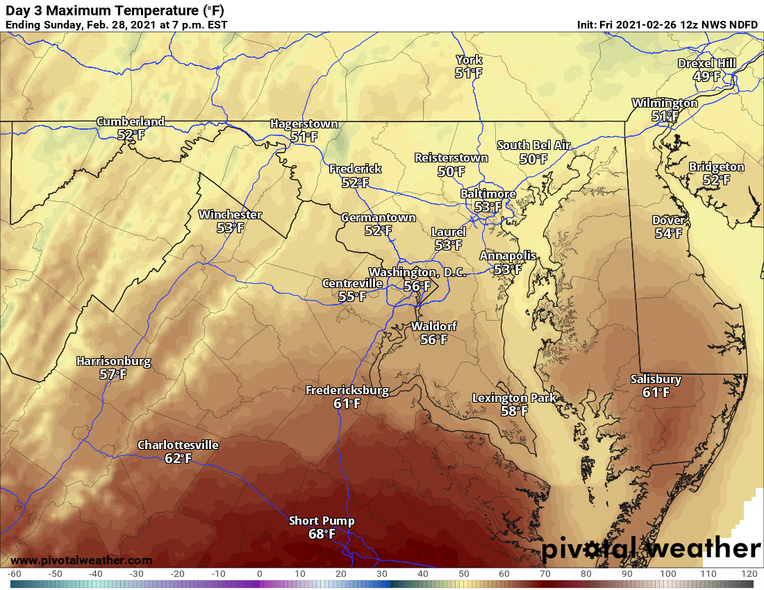
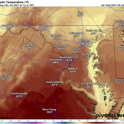
Saturday Forecast Highs
We will clear out during the morning or early afternoon Monday morning, and sunshine will return on Tuesday before another system affects our area by midweek.